
Drives Victoria, Australia Western Victoria and the Grampians
Great Ocean Road: Port Campbell to Allansford
Great Ocean Road, B100 · Port Campbell → Allansford


The drive
This is the western end of the Great Ocean Road (B100), running west from Port Campbell along the Shipwreck Coast to meet the Princes Highway at Allansford. It is 53.4 km (33.2 mi) and takes about 50 minutes. The curves are mostly gentle, and most of the interest is in what you can stop to see.
Just beyond Port Campbell, Port Campbell National Park has car parks and lookouts for London Bridge, The Grotto and The Arch. Little penguins are sometimes seen coming ashore near London Bridge at dusk. The road then passes through Peterborough, a small fishing village with a sheltered swimming cove, and the Bay of Islands Coastal Park, a stretch of limestone cliffs and rock stacks.
The drive ends where the road meets the Princes Highway at Allansford. Warrnambool is a short distance further on.
Along the way
- Port Campbell (Great Ocean Road)
- Peterborough
- Allansford (Princes Highway junction)
Good to know
- The lookouts have car parks, toilets and walking tracks, and dogs are not allowed in Port Campbell National Park.
- Spring and summer have the most favorable weather along this coast, and the lookouts are busiest then.
- Facilities are limited between towns; Port Campbell has the accommodation and dining.
- Storms and flooding sometimes close parts of the Great Ocean Road, so check VicTraffic before you go.
Open all year, weather permitting. Roads close for snow, fire, storms and repairs: before you set off, check VicTraffic.
Questions about this drive
How long does the Great Ocean Road from Port Campbell to Allansford take?
The Great Ocean Road from Port Campbell to Allansford is 33.2 miles (53.4 km) and takes about 50 minutes without stops.
Is there an entry fee for the Great Ocean Road lookouts near Port Campbell?
The Great Ocean Road Authority's Port Campbell National Park page lists no entry or parking fees.
What can you see on the Great Ocean Road west of Port Campbell?
West of Port Campbell, the Great Ocean Road passes London Bridge, The Grotto and The Arch in Port Campbell National Park, then Peterborough and the Bay of Islands Coastal Park.
Where does this part of the Great Ocean Road end?
This drive ends at Allansford, where the Great Ocean Road (B100) meets the Princes Highway, a short distance before Warrnambool.
What you get in the app
Free on iPhone and Android. CarPlay and Android Auto come with Apex.
More drives near here
 Great Ocean Road: Apollo Bay to Port CampbellSweeping · Great Ocean Road, B100 · 60 mi
 Forrest to Apollo BayTwisty · Forrest - Apollo Bay Road, Forrest-Apollo Bay Road · 19.7 mi
 Great Ocean Road: Torquay to Apollo BayTwisty · Great Ocean Road, B100 · 56 mi
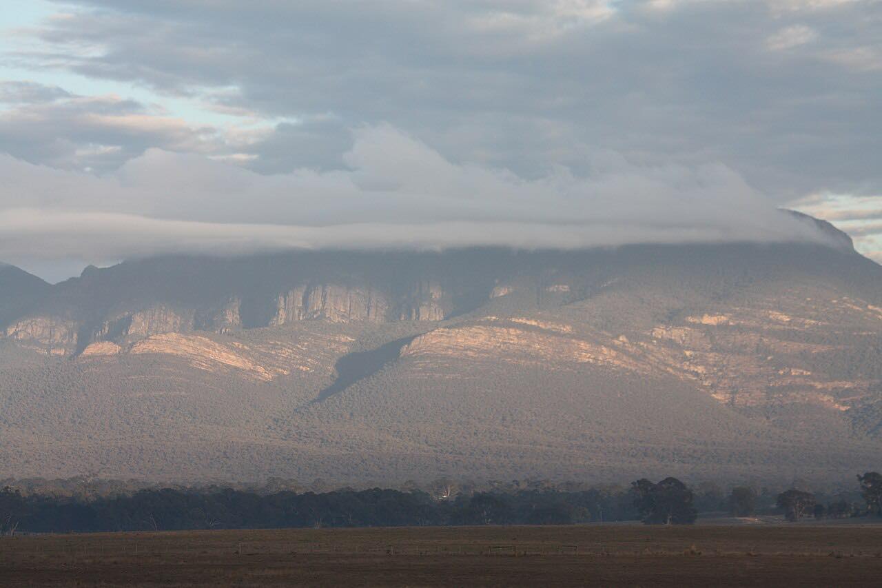 Grampians Road: Halls Gap to DunkeldLeisurely · Grampians Tourist Road, Grampians Road · 40 mi
Distance, time, elevation, curves and intensity are from Carve's route. Checked 2026-10-28.