Drives Victoria, Australia Western Victoria and the Grampians
Grampians Road: Halls Gap to Dunkeld
Grampians Tourist Road, Grampians Road, C216 · Halls Gap → Dunkeld


The drive
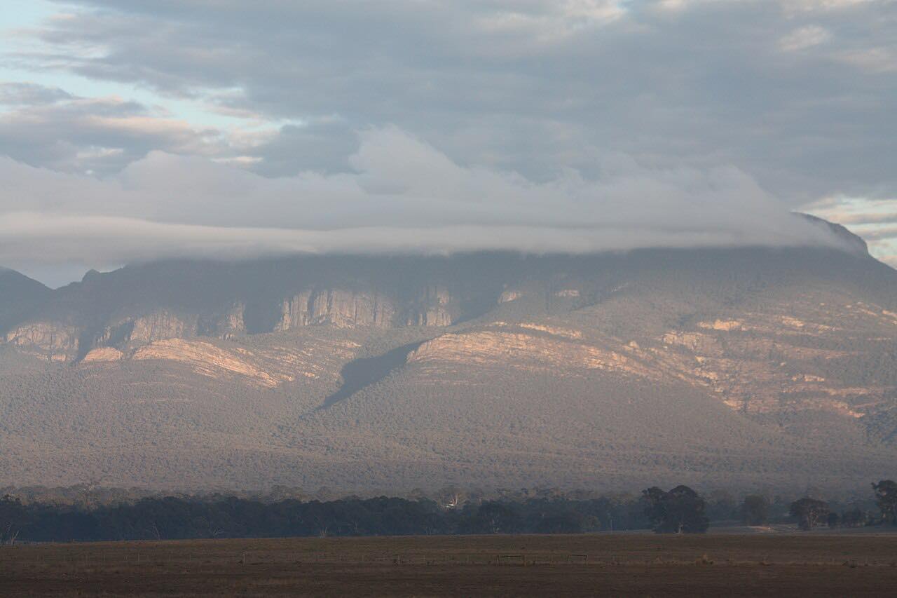
Grampians Road, also signed as the Grampians Tourist Road, runs from Halls Gap south to Dunkeld through the Grampians (Gariwerd) ranges. It is 64.1 km (39.8 mi) and takes about an hour. The curves are mostly gentle and sweeping, with sandstone ridges beside the road for much of the way.
The drive ends in Dunkeld, a village set at the southern entrance to the park in the shadow of Mount Sturgeon (Wurgarri) and Mount Abrupt (Mud-Dadjug). Walking tracks to both summits start a short distance along the road. Each takes about three hours return and is steep, and Mount Abrupt is the harder of the two.
Bushfires have damaged campgrounds, tracks and parts of the Grampians Peaks Trail in recent years, and Parks Victoria reopens affected sites in phases.
Along the way
- Halls Gap (Grampians Road)
- Dunkeld (Grampians Road)
Good to know
- After fires or storms, some walking tracks, picnic areas and campgrounds in the park can be closed, so check Parks Victoria before planning stops.
- The Mount Abrupt trailhead is reached by Cassidy Gap Road, which is unsealed, and parking there is limited.
- The Mount Sturgeon and Mount Abrupt walks are steep and take about three hours return, so they suit people with a good level of fitness.
Open all year, weather permitting. Roads close for snow, fire, storms and repairs: before you set off, check Parks Victoria: Grampians National Park.
Questions about this drive
How long is the drive from Halls Gap to Dunkeld?
Grampians Road from Halls Gap to Dunkeld is 39.8 miles (64.1 km) and takes about 1 hr.
Does Grampians Road close after bushfires?
It can. Bushfires have closed Grampians Road before, and Parks Victoria may keep fire-affected park sites closed after it reopens. Check VicTraffic and Parks Victoria for current conditions.
Is Grampians Road twisty?
Grampians Road is mostly gentle, sweeping curves rather than tight bends, running between the sandstone ranges of the Grampians.
What are the mountains at Dunkeld?
Dunkeld sits below Mount Sturgeon (Wurgarri) and Mount Abrupt (Mud-Dadjug), the highest peak in the southern Grampians.
What you get in the app
Free on iPhone and Android. CarPlay and Android Auto come with Apex.
More drives near here
 Great Ocean Road: Port Campbell to AllansfordLeisurely · Great Ocean Road, B100 · 33 mi
 Forrest to Apollo BayTwisty · Forrest - Apollo Bay Road, Forrest-Apollo Bay Road · 19.7 mi
 Great Ocean Road: Apollo Bay to Port CampbellSweeping · Great Ocean Road, B100 · 60 mi
 Great Ocean Road: Torquay to Apollo BayTwisty · Great Ocean Road, B100 · 56 mi
Distance, time, elevation, curves and intensity are from Carve's route. Checked 2026-10-28.