
Drives Florida Miami, the Everglades, the Keys and Southwest Florida
Sanibel-Captiva Road
Sanibel Island, Florida · Sanibel Causeway → Captiva

The drive
This drive begins on the Sanibel Causeway, then follows Periwinkle Way and Sanibel-Captiva Road past the J.N. Ding Darling National Wildlife Refuge, and crosses Blind Pass onto Captiva Drive, which curves beside the Gulf. The island roads are slow and shaded.
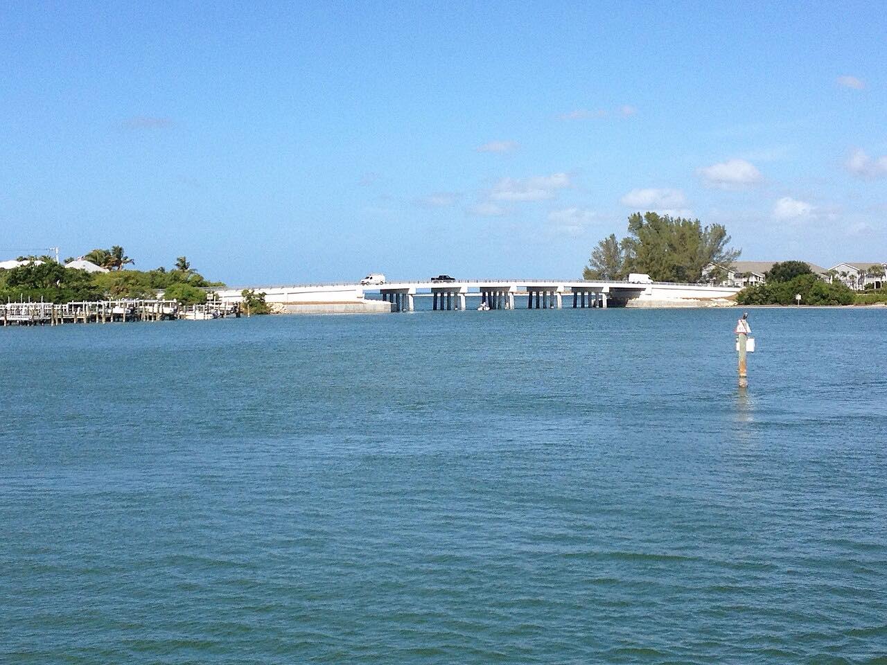
The causeway was rebuilt after Hurricane Ian. Island speed limits are low, and the shared-use path crosses side streets often. The refuge's four-mile Wildlife Drive is closed every Friday.
Along the way
- Sanibel Causeway
- Blind Pass
- Captiva
Good to know
- There is a causeway toll to get onto the island, collected electronically: $6 with a compatible transponder and $9 by plate, as last reported.
- The shared-use path crosses side streets often; watch for cyclists and walkers.
- The Ding Darling Wildlife Drive and visitor center are closed on Fridays.
Open all year, weather permitting. Roads close for snow, fire, storms and repairs: before you set off, check LeeWay tolls.
Questions about this drive
How long does Sanibel-Captiva Road take?
From the Sanibel Causeway to Captiva is 15.2 miles and takes about 30 min.
How much is the Sanibel Causeway toll?
The Sanibel Causeway toll has been $6 with a transponder and $9 by plate. Check LeeWay for current rates.
Is the Sanibel Causeway open after Hurricane Ian?
Yes. The causeway was rebuilt after Hurricane Ian and all lanes are open.
What you get in the app
Free on iPhone and Android. CarPlay and Android Auto come with Apex.
More drives near here



Distance, time, elevation, curves and intensity are from Carve's route. Checked 2026-10-28.