
Drives Florida Miami, the Everglades, the Keys and Southwest Florida
Estero and Hickory Boulevards
Estero Island, Florida · Fort Myers Beach → Bonita Beach

The drive
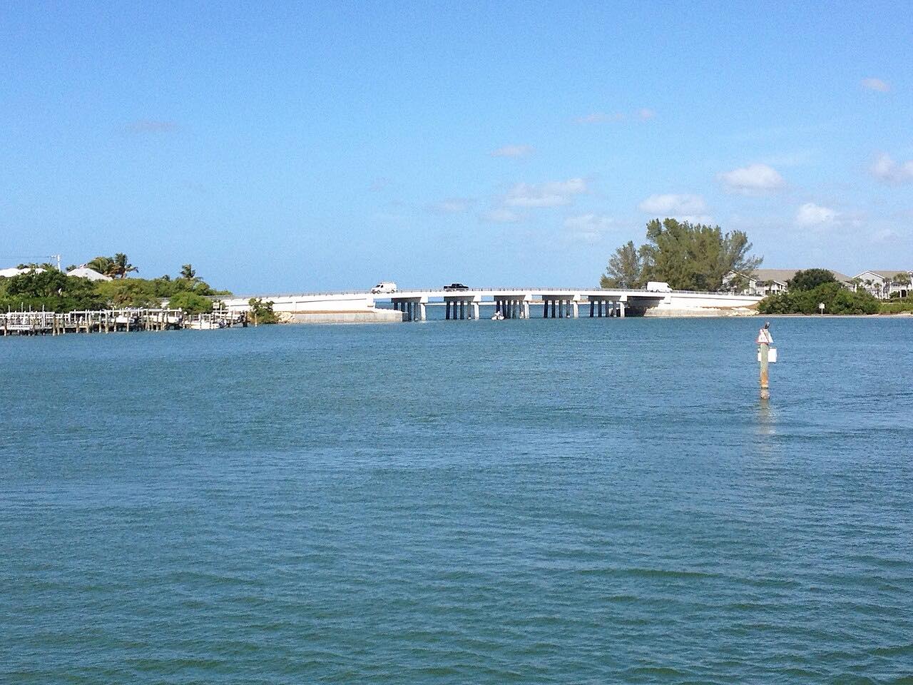
Estero Boulevard runs south from Fort Myers Beach down Estero Island, a slow beach road where the trolley and walkers share the pavement. It crosses Big Carlos Pass on a new fixed-span bridge, then continues past Lovers Key and onto Hickory Boulevard, ending at Bonita Beach.
The road crosses a new bridge with one lane each way plus bicycle lanes, a sidewalk on the north side of Estero Boulevard and a shared-use path on the south. The towns along the road have been rebuilding since Hurricane Ian.
Along the way
- Fort Myers Beach
- Bonita Beach
Good to know
- Speeds are low through Fort Myers Beach, where the LeeTran trolley and pedestrians share the road.
- The bridge has bicycle lanes and a shared-use path, so expect cyclists.
Open all year, weather permitting. Roads close for snow, fire, storms and repairs: before you set off, check Lee County Department of Transportation.
Questions about this drive
How long does Estero and Hickory Boulevards take to drive?
Estero and Hickory Boulevards from Fort Myers Beach to Bonita Beach is 11.4 miles and takes about 25 min.
Is the Big Carlos Pass Bridge open?
Yes. The new fixed-span bridge opened to traffic on November 14, 2025, with one travel lane in each direction plus bicycle lanes.
Is Estero Boulevard a fast road?
No. It is a slow beach road with mostly gentle curves, especially through Fort Myers Beach.
What you get in the app
Free on iPhone and Android. CarPlay and Android Auto come with Apex.
More drives near here



Distance, time, elevation, curves and intensity are from Carve's route. Checked 2026-10-28.