
The drive
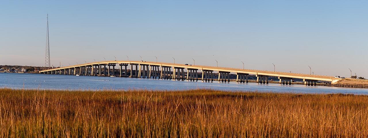
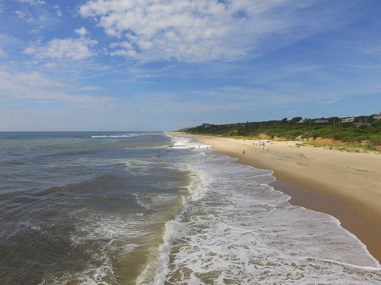
Dune Road runs along the barrier beach of Long Island's South Shore, with the ocean and dunes on one side and the bay on the other. This drive starts at Westhampton Beach and heads east for 7.2 miles to the Ponquogue Bridge, which crosses back to Hampton Bays.
It is a flat, gentle road with beach houses along it; its character comes from the setting, a thin strip of land between two bodies of water.
That setting is also its weakness. Tidal flooding and storm overwash have repeatedly closed Dune Road, including the stretch near the Ponquogue Bridge, and Southampton Town has declared emergencies to close it.
Along the way
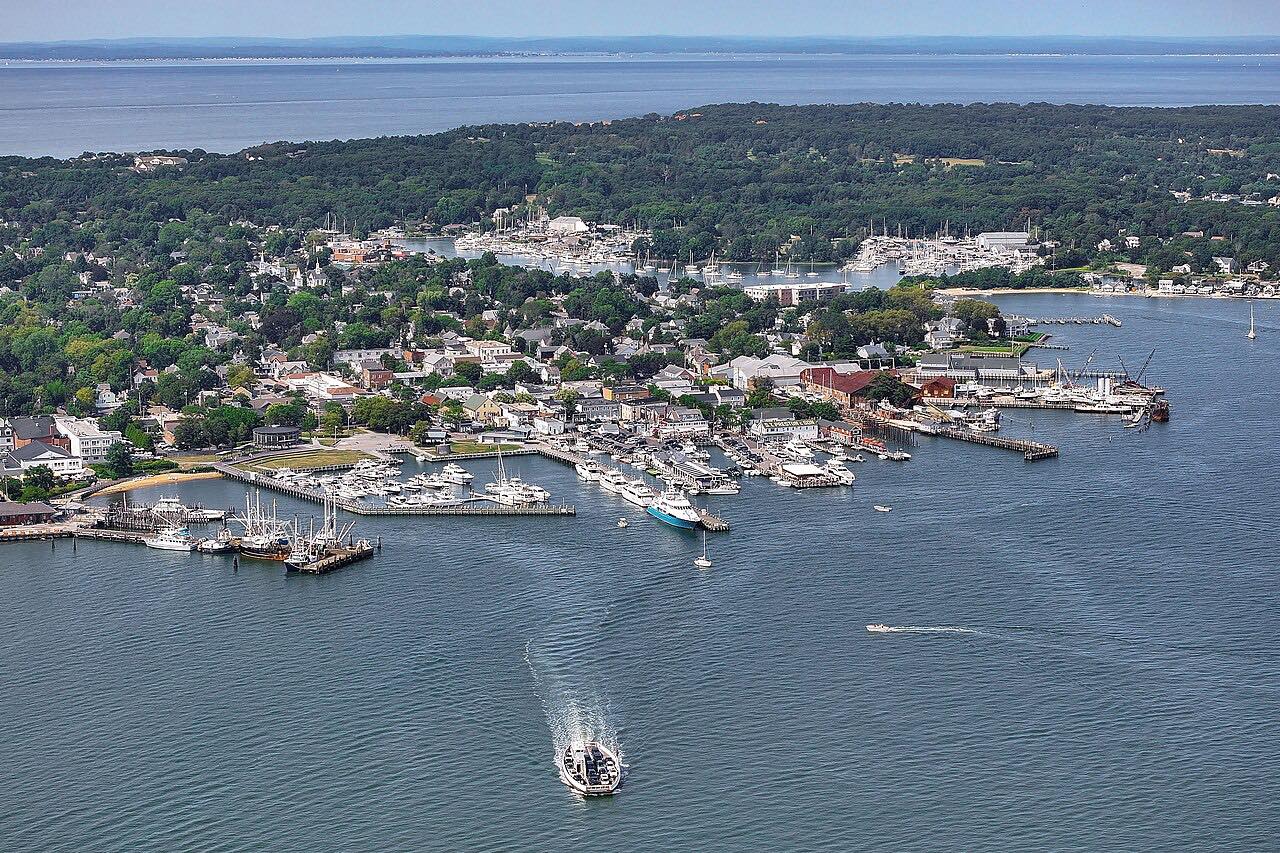
- Westhampton Beach
- Ponquogue Bridge
Good to know
- Storms and high tides flood the road; the town closes it and usually reopens it once the water drops.
- The drive ends at the Ponquogue Bridge, which also floods in storm tides.
Open all year, weather permitting. Roads close for snow, fire, storms and repairs: before you set off, check Southampton Town.
Questions about this drive
How long is the Dune Road drive?
Dune Road from Westhampton Beach to the Ponquogue Bridge is 7.2 miles and takes about 15 minutes.
Does Dune Road flood?
Yes. Storm tides and overwash have closed Dune Road several times, and the Ponquogue Bridge has closed with it. Check with the Town of Southampton before driving in stormy weather.
Is Dune Road twisty?
No. Dune Road is Leisurely, with mostly gentle curves along a flat barrier beach.
What you get in the app
Free on iPhone and Android. CarPlay and Android Auto come with Apex.
More drives near here


Distance, time, elevation, curves and intensity are from Carve's route. Checked 2026-10-28.