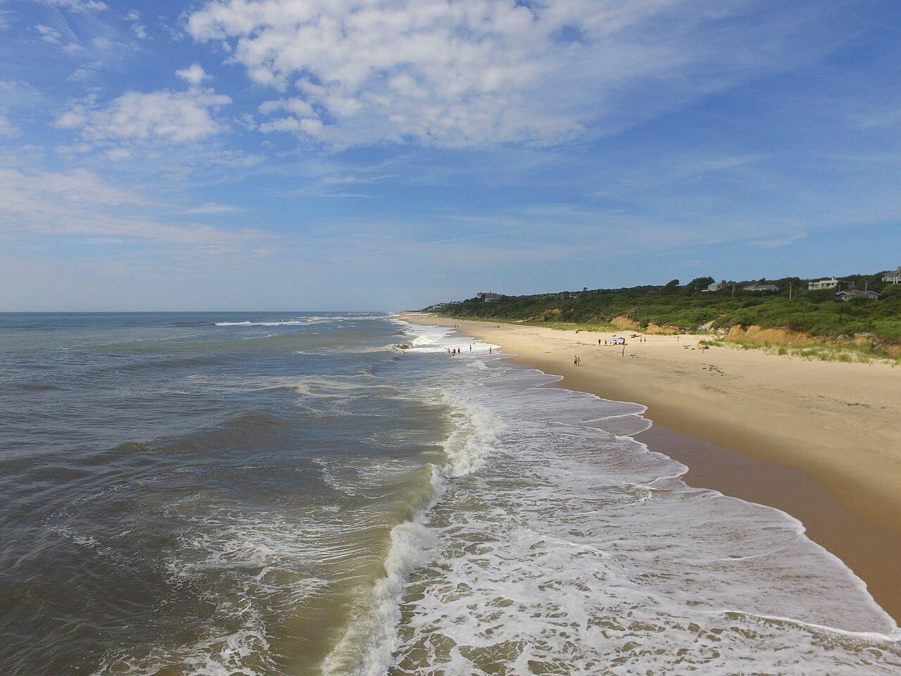

The drive
Old Montauk Highway is the older two-lane road through the hills near the ocean at Hither Hills, on the South Fork. This drive starts where it leaves NY 27 and runs east before rejoining NY 27 for the run into Montauk village.
From Montauk the drive follows Montauk Highway, which east of the village is the Montauk Point State Parkway, to Montauk Point State Park at the end of Long Island. It ends just before the lighthouse parking circle. The whole drive is 9.8 miles and about 20 minutes, with gentle curves.
Montauk Highway is two lanes east of East Hampton.
Along the way
- Hither Hills
- Old Montauk Highway
- Montauk
- Montauk Point
Good to know
- Montauk Point State Park charges a parking fee on set dates; the details are on the state parks page.
- This drive starts at Hither Hills; the Napeague stretch before it is not part of it.
Open all year, weather permitting. Roads close for snow, fire, storms and repairs: before you set off, check Montauk Point State Park.
Questions about this drive
How long is the drive from Hither Hills to Montauk Point?
Old Montauk Highway to Montauk Point is 9.8 miles and takes about 20 minutes.
Is there a fee at Montauk Point?
Montauk Point State Park charges a per-car fee on set dates, daily in summer and on weekends and holidays in autumn. Check the parks page for current dates and the amount.
Is Old Montauk Highway twisty?
No. It is rated Leisurely, with gentle curves and some rolling hills.
What you get in the app
Free on iPhone and Android. CarPlay and Android Auto come with Apex.
More drives near here


Distance, time, elevation, curves and intensity are from Carve's route. Checked 2026-10-28.