
Drives Colorado Durango, Telluride and the San Juans
Wolf Creek Pass: US-160
US 160 · Pagosa Springs → South Fork

The drive
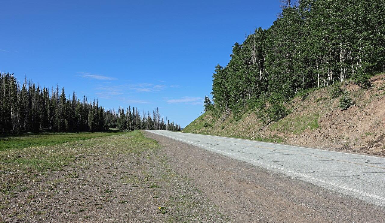
US 160 crosses the Continental Divide at Wolf Creek Pass, 10,857 feet, on its way between southwest Colorado and the San Luis Valley. This drive runs it from Pagosa Springs east to South Fork, so the big climb comes first. Treasure Falls is the early stop, and above it the road works up the switchbacks to the summit.
On the east side the road drops past a highway tunnel and follows the Rio Grande down to South Fork. Curves are gentle for the most part, but the grades are long, and the climb is about 4,600 feet in all.
CDOT notes a dangerous hairpin about six and a half miles below the summit on the Pagosa side, which is why this is the easier direction to drive.
Along the way
- Pagosa Springs
- Treasure Falls
- Wolf Creek Pass
- South Fork
Good to know
- Grades are steep. CDOT calls the west side a 7 percent downhill and posts a 25 mph limit for trucks.
- Wolf Creek gets heavy snow, and chain laws can be activated when conditions turn bad.
- Services are thin between Pagosa Springs and South Fork.
Open all year, weather permitting. Roads close for snow, fire, storms and repairs: before you set off, check CDOT COtrip.
Questions about this drive
How long does Wolf Creek Pass take to drive?
Pagosa Springs to South Fork on US 160 over Wolf Creek Pass is 41.9 miles and takes about 50 min.
Is Wolf Creek Pass open in winter?
US 160 over Wolf Creek Pass is plowed year-round, though storms and avalanche work sometimes close it. Check COtrip first.
How high is Wolf Creek Pass?
Wolf Creek Pass on US 160 is 10,857 feet and sits on the Continental Divide.
Is Wolf Creek Pass hard to drive?
It is steep rather than twisty. The grades are long and CDOT warns of a sharp hairpin on the west side, but in good weather it is an ordinary mountain highway.
What you get in the app
Free on iPhone and Android. CarPlay and Android Auto come with Apex.
More drives near here



Distance, time, elevation, curves and intensity are from Carve's route. Checked 2026-10-28.