Drives Colorado Colorado Springs and Southern Colorado
Cumbres Pass: Antonito to Chama
CO 17 · Antonito → Chama

The drive
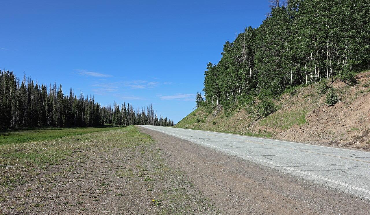
CO 17 climbs southwest from Antonito on US 285 toward 10,022-foot Cumbres Pass in the San Juan Mountains, then crosses into New Mexico and ends at Chama on NM 17. The long grades run through meadow and spruce with steady curves.
The road runs near the Cumbres and Toltec Scenic Railroad, which the Denver and Rio Grande built in the early 1880s. Since 1970 the railroad has run the Chama to Antonito section, with trains over the pass in the tourist season.
The drive is 45.8 miles and about 57 minutes, climbing about 3,150 feet. It runs west from Antonito.
Along the way
- Antonito (US-285)
- Chama (NM-17)
Good to know
- The pass is rarely closed in winter, but CDOT has closed Cumbres and La Manga passes for snow removal, so check COtrip.
- The highway crosses the Colorado and New Mexico line near the pass and becomes NM 17.
- Winters are cold at the summit; carry layers outside summer.
Open all year, weather permitting. Roads close for snow, fire, storms and repairs: before you set off, check COtrip (CDOT).
Questions about this drive
How long does Cumbres Pass from Antonito to Chama take?
Cumbres Pass from Antonito to Chama is 45.8 miles and takes about 57 minutes.
Is Cumbres Pass open in winter?
CO 17 over Cumbres Pass is rarely closed in winter, though CDOT has closed it for snow removal. Check COtrip before you go.
How high is Cumbres Pass?
Cumbres Pass is 10,022 feet.
Does the Cumbres Pass road follow the railroad?
It runs near the Cumbres and Toltec Scenic Railroad, which crosses the same pass between Antonito and Chama.
What you get in the app
Free on iPhone and Android. CarPlay and Android Auto come with Apex.
More drives near here


Distance, time, elevation, curves and intensity are from Carve's route. Checked 2026-10-28.