
Drives Colorado Durango, Telluride and the San Juans
Silver Thread: Highway 149
CO 149 · South Fork → Lake City

The drive
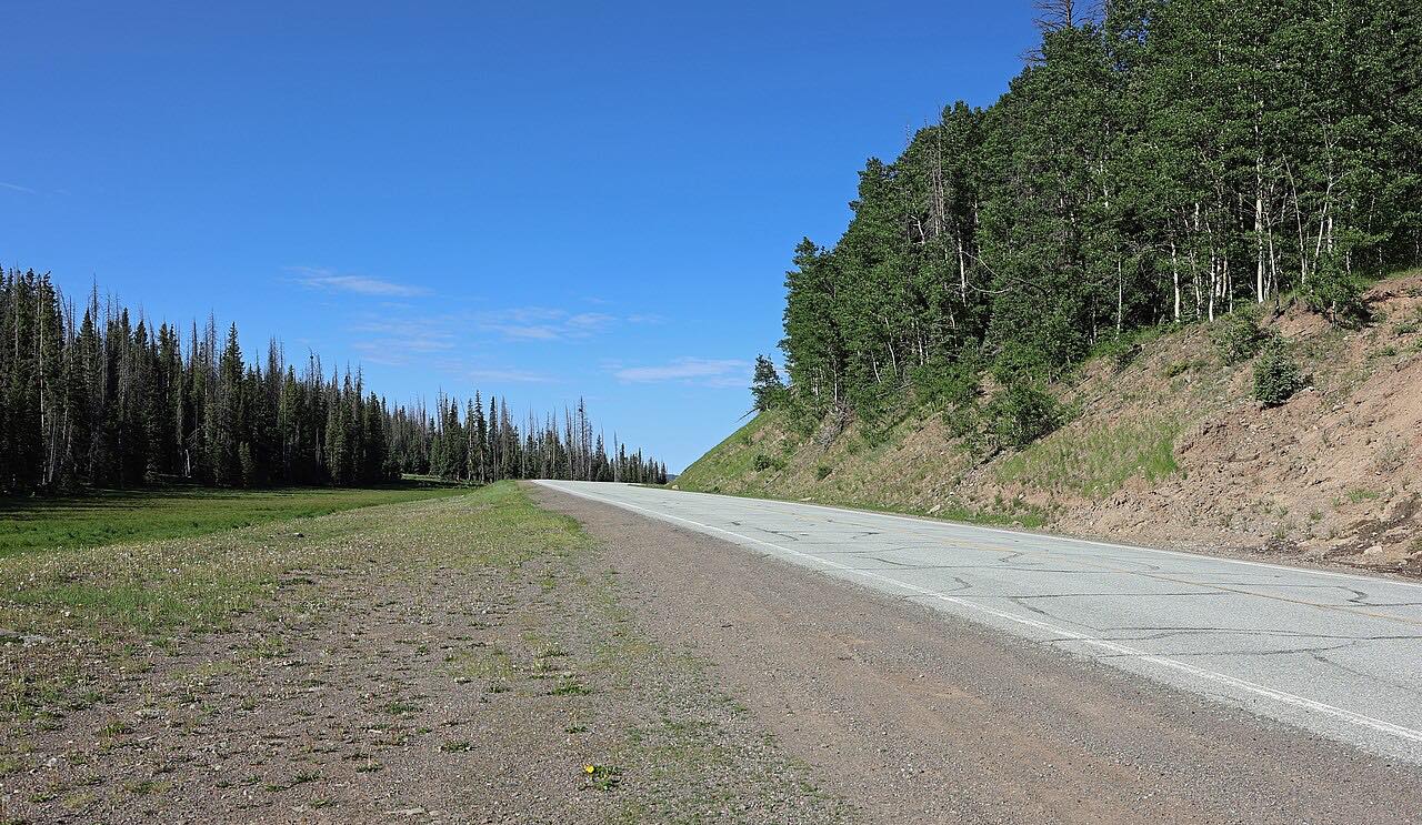
Colorado 149 is the Silver Thread, and this drive takes it from South Fork up the Rio Grande to Lake City. The first miles run through Wagon Wheel Gap and on to Creede, an old mining town in a narrow canyon. Past Creede the road leaves the river valley and climbs to Spring Creek Pass on the Continental Divide, then rises again over Slumgullion Pass, the high point of the drive at about 11,600 feet.
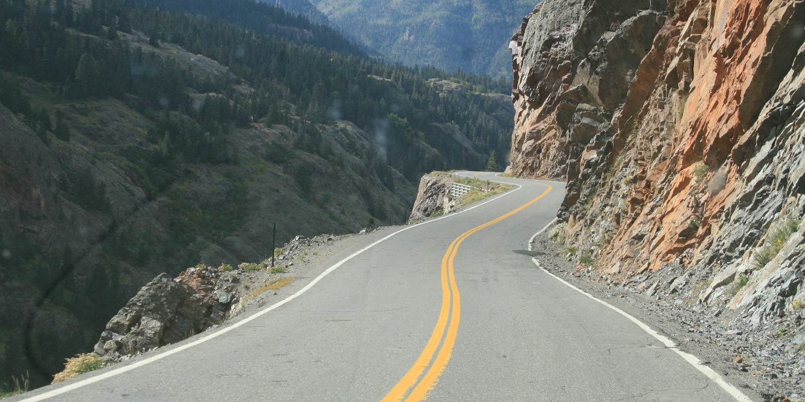
Towns are few and the San Juan views are large. The state's byway page points to the upper Rio Grande, North Clear Creek Falls, the Slumgullion earth slide and abandoned mining structures in the heights above the road. The last miles are the twisty part: a steep, tight descent from Slumgullion down past Lake San Cristobal into Lake City.
The highway has been a National Scenic Byway since 2021. It is mostly gentle driving, so the effort is in the altitude and the distance between services, not the curves.
Along the way
- South Fork
- Wagon Wheel Gap
- Creede
- Spring Creek Pass
- Slumgullion Pass
- Lake City
Good to know
- Services are limited to South Fork, Creede and Lake City, so start with a full tank.
- The descent from Slumgullion Pass into Lake City is steep and tight; take it slowly.
- The road is plowed in winter, but storms can close or slow it, so check COtrip before you go.
- Rugged backcountry roads to old mines branch off the byway; they are not part of this drive.
Open all year, weather permitting. Roads close for snow, fire, storms and repairs: before you set off, check CDOT COtrip.
Questions about this drive
How long does the Silver Thread (Highway 149) drive from South Fork to Lake City take?
South Fork to Lake City on Highway 149 is 71 miles and takes about 1 hr 45 min without long stops.
Is Highway 149 over Spring Creek Pass open in winter?
Highway 149 is plowed year-round, but snowstorms can close it for a time. Check COtrip for current conditions before you leave.
How high does the Silver Thread Byway go?
The drive from South Fork to Lake City climbs about 5,000 feet and tops out at roughly 11,600 feet on Slumgullion Pass, after crossing Spring Creek Pass on the Continental Divide.
Is the Silver Thread Byway twisty?
Mostly no. Highway 149 is gentle for most of the drive, with one twisty stretch near the end on the descent into Lake City.
What you get in the app
Free on iPhone and Android. CarPlay and Android Auto come with Apex.
More drives near here



Distance, time, elevation, curves and intensity are from Carve's route. Checked 2026-10-28.