
Drives New Mexico Santa Fe, Taos and Northern New Mexico
Highway 64 over the Tusas Mountains
US 64 · Tierra Amarilla → Tres Piedras

The drive
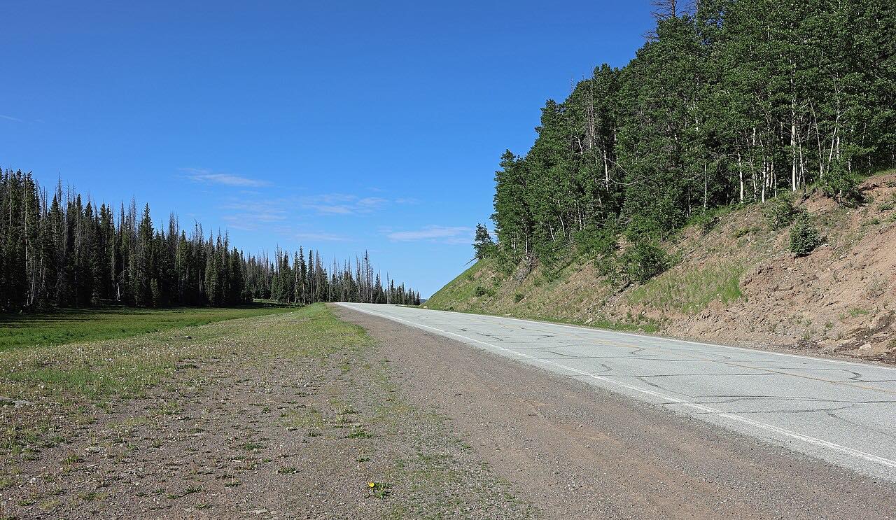
US 64 leaves Tierra Amarilla, where it shares the road with US 84, and crosses the Tusas Mountains to Tres Piedras, where it meets US 285. The route passes Hopewell Lake and climbs to a high point of about 10,500 feet.
Beyond Tres Piedras the highway carries on to Taos over the Rio Grande Gorge Bridge, which stands 650 feet above the river. A Santa Fe tourism guide calls this a remote road that is periodically closed in winter.
Along the way
- Tierra Amarilla (US-84)
- Hopewell Lake
- Tres Piedras (US-285)
Good to know
- US 64 here is described as a remote road that is periodically closed in winter, so check NMRoads before you set out in snow season.
- The route's high point is about 10,500 feet; check NMRoads for conditions before you go.
Open all year, weather permitting. Roads close for snow, fire, storms and repairs: before you set off, check NMRoads (NMDOT road conditions).
Questions about this drive
How long does Highway 64 from Tierra Amarilla to Tres Piedras take?
US 64 from Tierra Amarilla to Tres Piedras is 47.6 miles and takes about 55 min.
Is US 64 over the Tusas Mountains open in winter?
It is a remote road that is periodically closed in winter, according to Santa Fe's tourism office. Check NMRoads for current conditions.
Where does Highway 64 over the Tusas Mountains start and end?
This drive starts at Tierra Amarilla (US-84) and ends at Tres Piedras (US-285), 47.6 miles in all.
What you get in the app
Free on iPhone and Android. CarPlay and Android Auto come with Apex.
More drives near here



Distance, time, elevation, curves and intensity are from Carve's route. Checked 2026-10-28.