
Drives Colorado Durango, Telluride and the San Juans
US-550: Durango to Silverton
US 550 · Durango → Silverton

The drive
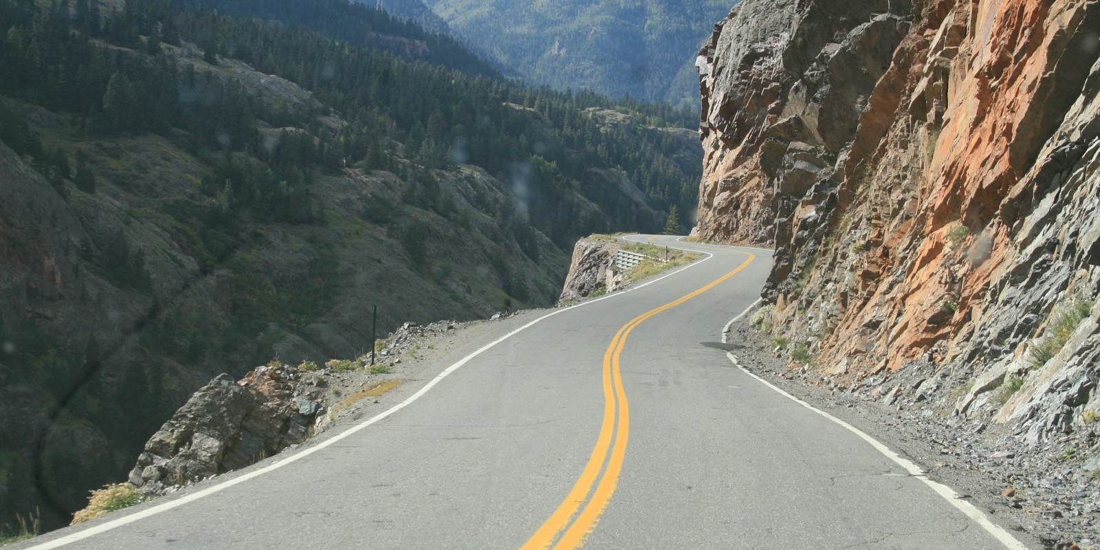
This is the southern half of the San Juan Skyway's best-known road. US 550 leaves Durango and runs up the Animas valley past Purgatory, then climbs through two high passes: Coal Bank Pass at 10,640 feet and Molas Pass at 10,910 feet. After Molas it drops by switchbacks into Silverton, the old mining town at the end of the drive.
It is a climb of about 5,900 feet in 45 miles, but the road is wide and mostly gentle, with one twisty stretch near the end. Around Molas there are lakes and views of fourteeners.
Silverton is also where the Million Dollar Highway begins. The state byway page names that name for the stretch from Ouray to Silverton, so this drive pairs naturally with it if you want to keep going north.
Along the way
- Durango
- Purgatory
- Coal Bank Pass
- Molas Pass
- Silverton
Good to know
- Afternoon thunderstorms are common in summer, according to the state byway page.
- Storms can close the passes in winter and spring; check COtrip before you go.
- Coal Bank and Molas are both above 10,000 feet; allow for thinner air and cooler weather than in Durango.
- The last miles into Silverton are switchbacks; take them slowly.
Open all year, weather permitting. Roads close for snow, fire, storms and repairs: before you set off, check CDOT COtrip.
Questions about this drive
How long does US 550 from Durango to Silverton take?
US 550 from Durango to Silverton is 45.6 miles and takes about 1 hr without stops.
Is US 550 between Durango and Silverton open in winter?
Yes, the road is plowed year-round, but storms sometimes close Coal Bank and Molas passes. Check COtrip for current conditions.
How high are Coal Bank Pass and Molas Pass?
Coal Bank Pass on US 550 is 10,640 feet and Molas Pass is 10,910 feet.
Is the road from Durango to Silverton the Million Dollar Highway?
Not quite. The state byway page applies the name Million Dollar Highway to the segment from Ouray to Silverton, which continues north from where this drive ends.
What you get in the app
Free on iPhone and Android. CarPlay and Android Auto come with Apex.
More drives near here



Distance, time, elevation, curves and intensity are from Carve's route. Checked 2026-10-28.