

The drive
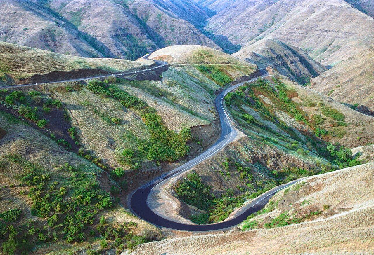
The White Pine Scenic Byway follows Idaho 6 and Idaho 3 through timber country, and this drive runs from Potlatch north to St. Maries. Idaho 6 starts at the Washington line near Potlatch, runs east through the town, and reaches Harvard before it climbs.
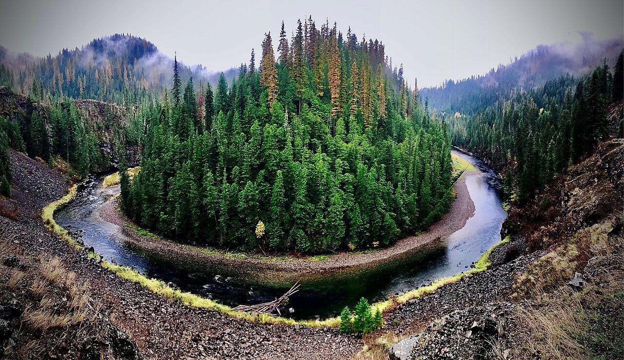
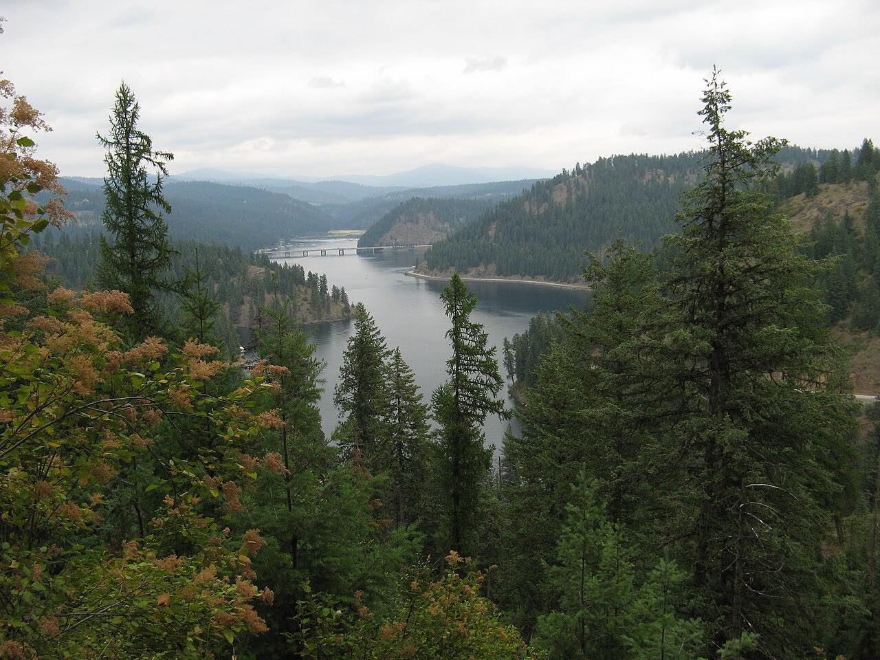
Between Harvard and Emida the road crests at about 3,600 feet, where a park-and-ski lot serves cross-country skiers at the Palouse Divide. East of Emida it crosses the Palouse River and passes old-growth white pine in the Hoodoo Mountains, inside St. Joe National Forest, then meets Idaho 3 west of Santa. Idaho 3 carries the drive the rest of the way to St. Maries, where the byway crosses the St. Maries and St. Joe rivers.
It is 48.6 miles and takes about an hour, a leisurely drive with about 2,400 feet of climb overall.
Along the way
- Potlatch
- Emida
- St. Maries
Good to know
- The road crests at about 3,600 feet between Harvard and Emida, where a park-and-ski lot serves cross-country skiers.
- The byway passes through St. Maries, where the Hughes House Museum is on the route.
- For current work on Idaho 6 and Idaho 3, check Idaho 511.
Open all year, weather permitting. Roads close for snow, fire, storms and repairs: before you set off, check Idaho 511 Traveler Information.
Questions about this drive
How long does the White Pine Scenic Byway from Potlatch to St. Maries take?
The drive is 48.6 miles and takes about an hour.
Where does the White Pine Scenic Byway start?
This drive starts in Potlatch on Idaho 6 and ends in St. Maries on Idaho 3. The full byway is 82 miles and begins at Cataldo.
Where does Idaho 6 meet Idaho 3 on the White Pine Scenic Byway?
Idaho 6 ends at a junction with Idaho 3 west of Santa, and Idaho 3 continues to St. Maries.
What you get in the app
Free on iPhone and Android. CarPlay and Android Auto come with Apex.
More drives near here


Distance, time, elevation, curves and intensity are from Carve's route. Checked 2026-10-28.