

The drive
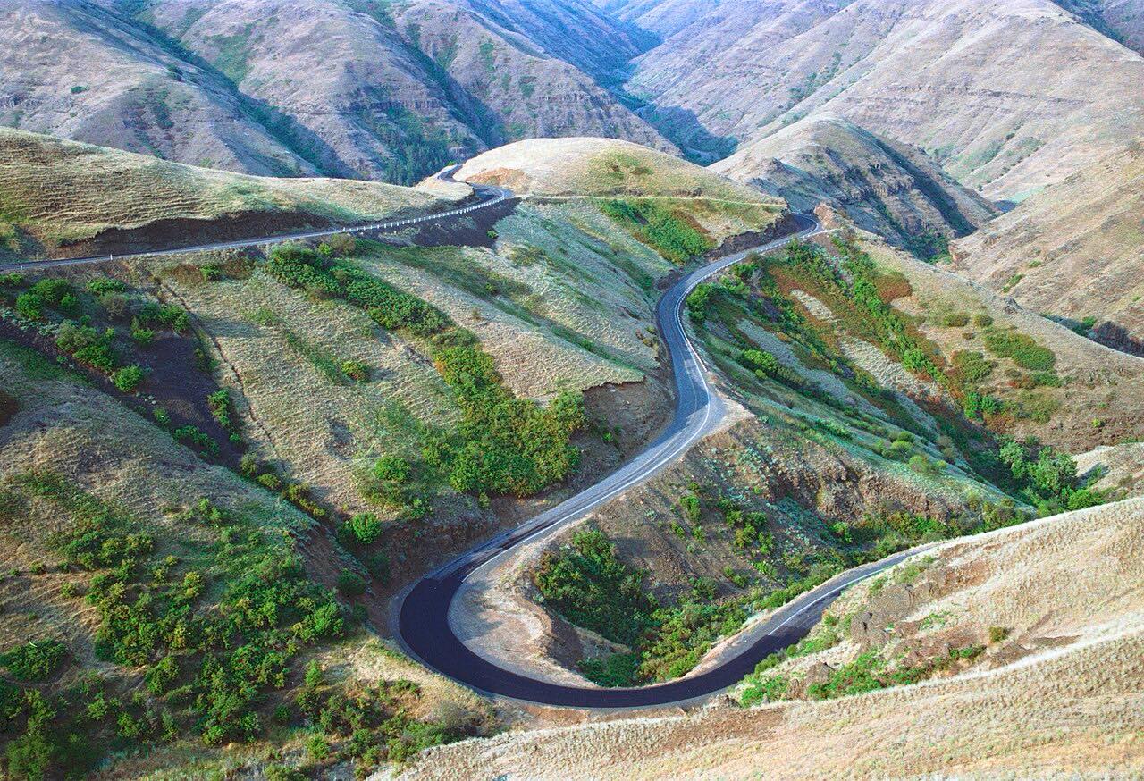
The Old Spiral Highway is the former US 95 grade up Lewiston Hill. Wikipedia counts 64 curves on it, climbing about 2,000 feet from the riverbank to a summit of 2,756 feet, and calls it a very twisty road. It branches off Highway 128 at Lewiston.
The highway was decommissioned in 1977, when the current US 95 alignment opened. This drive follows the old road up from the river to where it meets US 95 near Spur Road. It is 6.6 miles and takes about 15 minutes, and the intensity is Intense.
Along the way
- Lewiston (Highway 128)
- US-95 (Spur Road)
Good to know
- Expect 64 curves on the way up, so take it slowly.
- It was the primary northbound route out of Lewiston for about sixty years before the current US 95 opened in 1977.
Open all year, weather permitting. Roads close for snow, fire, storms and repairs: before you set off, check Idaho 511.
Questions about this drive
How long does the Old Spiral Highway take to drive?
The Old Spiral Highway from Lewiston up to US 95 is 6.6 miles and takes about 15 minutes.
How many curves are on the Old Spiral Highway?
Wikipedia counts 64 curves on the Old Spiral Highway up Lewiston Hill.
Why is it called the Old Spiral Highway?
It was US 95's grade up Lewiston Hill until 1977, when the current US 95 alignment opened.
What you get in the app
Free on iPhone and Android. CarPlay and Android Auto come with Apex.
More drives near here


Distance, time, elevation, curves and intensity are from Carve's route. Checked 2026-10-28.