

The drive
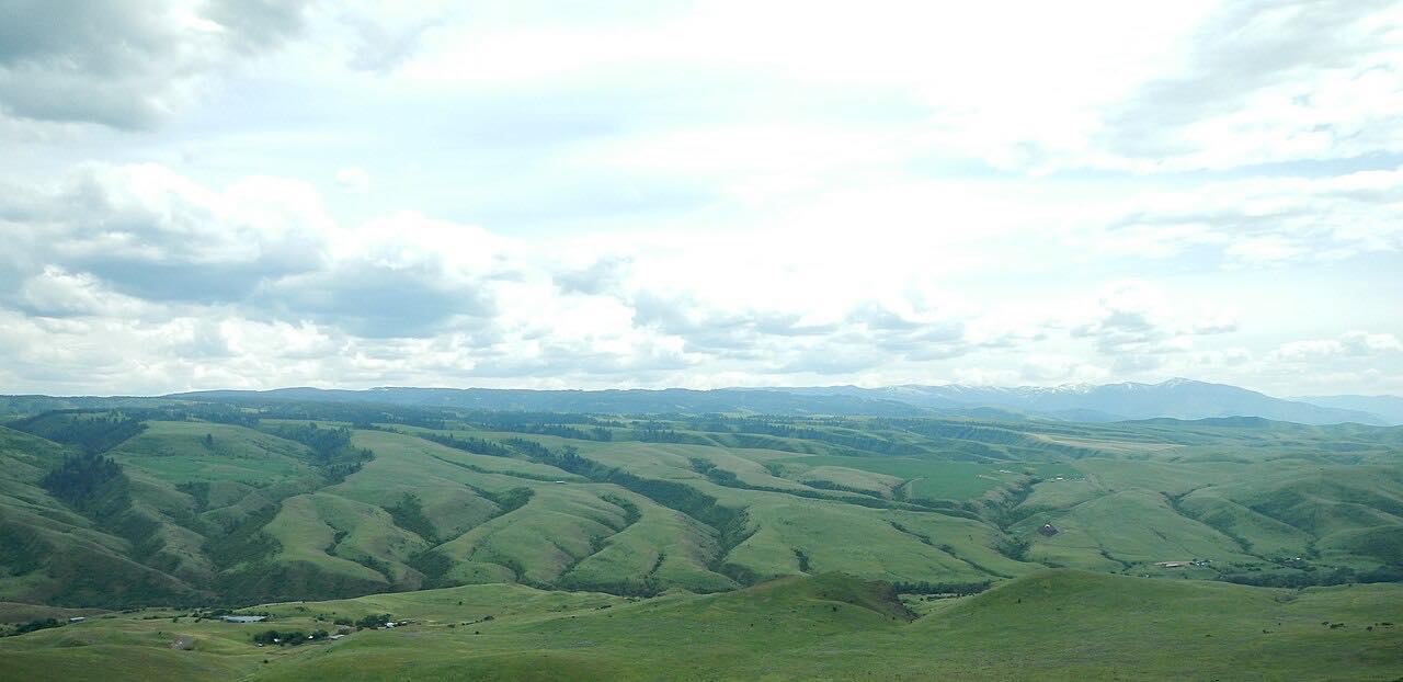
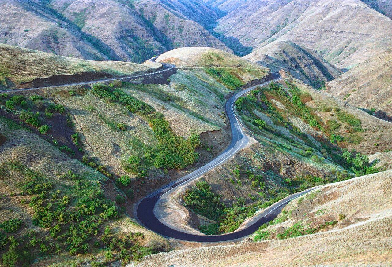
US 12 is the Northwest Passage Scenic Byway, and it follows the route of the Lewis and Clark expedition. This drive starts at Kooskia, where US 12 meets Highway 13 across the Clearwater River and runs east along the river's north bank. At Lowell it turns northeast along the Lochsa River through the Bitterroot Mountains.
It ends at Lolo Pass, 5,233 feet, on the Montana line. The drive is 99.1 miles and takes about 2 hr 15 min, and the intensity is Sweeping.
Along the way
- Kooskia
- Lowell
- Lolo Pass
Good to know
- Fuel is scarce between Lowell and Lolo, Montana. A 2003 report named Lochsa Lodge as the only gas station on the stretch, so fill up first and confirm it is open.
- Several campgrounds lie off the highway along the Lochsa, but this is a remote road with few towns.
Open all year, weather permitting. Roads close for snow, fire, storms and repairs: before you set off, check Idaho 511.
Questions about this drive
How long does US 12 from Kooskia to Lolo Pass take?
The Northwest Passage Scenic Byway drive from Kooskia to Lolo Pass is 99.1 miles and takes about 2 hr 15 min.
How high is Lolo Pass on US 12?
Lolo Pass is 5,233 feet, where US 12 crosses into Montana.
Is there gas on US 12 along the Lochsa River?
Very little. A 2003 report named Lochsa Lodge as the only gas station between Lowell and Lolo, Montana, so fuel up before and check ahead.
What you get in the app
Free on iPhone and Android. CarPlay and Android Auto come with Apex.
More drives near here



Distance, time, elevation, curves and intensity are from Carve's route. Checked 2026-10-28.