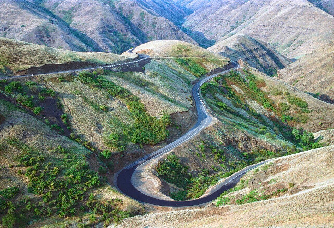

The drive
This drive runs south from Asotin on SR 129, past Anatone, and over the Washington-Oregon line, where the road becomes OR 3. The Rattlesnake Grade drops by hairpins to the Grande Ronde River, crosses it, then climbs out toward Enterprise, ending at OR 82.
Wikipedia describes the grade as nine turns climbing out of Rattlesnake Canyon, and the road runs through forest near Fields Spring State Park. Joseph Canyon Viewpoint is a stop on the Oregon side. Most of the route is two lanes with no shoulder.
It is long and empty: 79 miles, about 2 hours 25 minutes, with three twisty stretches and a few services.
Along the way
- Asotin
- Anatone
- Joseph Canyon Viewpoint
- Enterprise (Highway 82)
Good to know
- There is no fuel between Asotin and Enterprise, so fill up first.
- Most of the road is two lanes with no shoulder; the posted limit outside towns is 50 to 55 mph.
- Snow and ice can affect the grade in winter; check WSDOT and ODOT before you go.
- There are no services on the grade itself.
Open all year, weather permitting. Roads close for snow, fire, storms and repairs: before you set off, check WSDOT travel map and alerts.
Questions about this drive
How long does Rattlesnake Grade take to drive?
Asotin to Enterprise on SR 129 and OR 3 is 79 miles and takes about 2 hr 25 min.
Is there gas on the Rattlesnake Grade?
No. Fuel is in Asotin or in Enterprise and Joseph, so fill up before the drive.
Is the Rattlesnake Grade twisty?
Yes in places. SR 129 makes switchbacks and hairpins at the grade and on the climb out of Asotin, and the rest is sweeping.
Where does Rattlesnake Grade start?
This drive starts in Asotin, Washington, and runs south on SR 129 into Oregon on OR 3.
What you get in the app
Free on iPhone and Android. CarPlay and Android Auto come with Apex.
More drives near here


Distance, time, elevation, curves and intensity are from Carve's route. Checked 2026-10-28.