
The drive
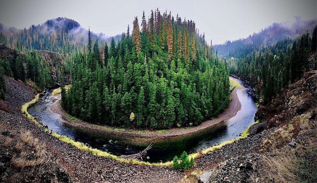
The St. Joe River Scenic Byway starts in St. Maries, where Idaho 3 meets Forest Highway 50, and heads east along the St. Joe River. This drive covers the first 45.7 miles of it, up the river to Avery.
The river is lined with cottonwoods, where bald eagles and osprey nest and fish, and deer, elk, moose and bear can be seen at the river's edge. The byway runs through the Idaho Panhandle National Forest, and the upper river is a National Wild and Scenic River. The road follows the river's bends, sweeping rather than tight.
Avery is the end of the drive. East of Avery the byway keeps going toward the Montana border, but the section from Avery to Montana is closed in winter and used as a snowmobile route.
Along the way
- St. Maries (Highway 3)
- Calder
- Avery
Good to know
- St. Maries and Avery have full services, and Calder, in between, has partial services such as gas.
- The byway is a motorcycle route, so expect riders on the bends.
- Wildlife including deer, elk, moose and bear can be seen at the river's edge.
- The best seasons to visit are spring, summer and fall.
Open all year, weather permitting. Roads close for snow, fire, storms and repairs: before you set off, check Idaho 511 Traveler Information.
Questions about this drive
How long does the St. Joe River Road from St. Maries to Avery take?
The drive is 45.7 miles and takes about 1 hr 40 min.
Is there gas on the St. Joe River Road?
Gas is available in St. Maries and Avery, with partial services in Calder.
Is the St. Joe River Road open in winter?
The section from Avery to the Montana border is closed in winter. This drive ends at Avery, so check Idaho 511 for conditions on the lower road.
What wildlife can you see on the St. Joe River Road?
Bald eagles and osprey nest in the cottonwoods, and deer, elk, moose and bear can be seen along the river's edge.
What you get in the app
Free on iPhone and Android. CarPlay and Android Auto come with Apex.
More drives near here


Distance, time, elevation, curves and intensity are from Carve's route. Checked 2026-10-28.