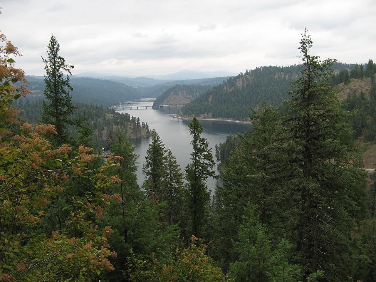

The drive
Highway 97 is the Lake Coeur d'Alene Scenic Byway along the lake's east side. It starts at the I-90 interchange at the east end of Wolf Lodge Bay, and this drive follows it south to Harrison. Visit Idaho describes it as a two-lane, paved winding road with few passing lanes.
Harrison, on the lakeshore, has full services, and the Trail of the Coeur d'Alenes is close by. The drive is 28 miles and takes about 50 minutes, and the intensity is Twisty.
Along the way
- Wolf Lodge Bay (I-90)
- Beauty Bay
- Highway 97 (lake shore)
- Harrison
Good to know
- There are few passing lanes, so expect to follow slower traffic.
- Services are limited outside Coeur d'Alene and Harrison. Carlin Bay and Squaw Bay have partial services.
- Eagle watching peaks in December and January.
Open all year, weather permitting. Roads close for snow, fire, storms and repairs: before you set off, check Idaho 511.
Questions about this drive
How long does Highway 97 along Lake Coeur d'Alene take?
The Lake Coeur d'Alene Scenic Byway drive from I-90 at Wolf Lodge Bay to Harrison is 28 miles and takes about 50 minutes.
Is Highway 97 on Lake Coeur d'Alene open in winter?
Visit Idaho says the byway is open year-round.
Where is gas on the Lake Coeur d'Alene Scenic Byway?
Harrison has gas, food and lodging. Visit Idaho notes limited services outside Coeur d'Alene and Harrison.
What you get in the app
Free on iPhone and Android. CarPlay and Android Auto come with Apex.
More drives near here



Distance, time, elevation, curves and intensity are from Carve's route. Checked 2026-10-28.