
Drives Queensland, Australia Brisbane, the Gold Coast and the Scenic Rim
Mount Nebo and Mount Glorious
Mount Glorious Road, Mount Nebo Road, Waterworks Road · The Gap → Samford

The drive
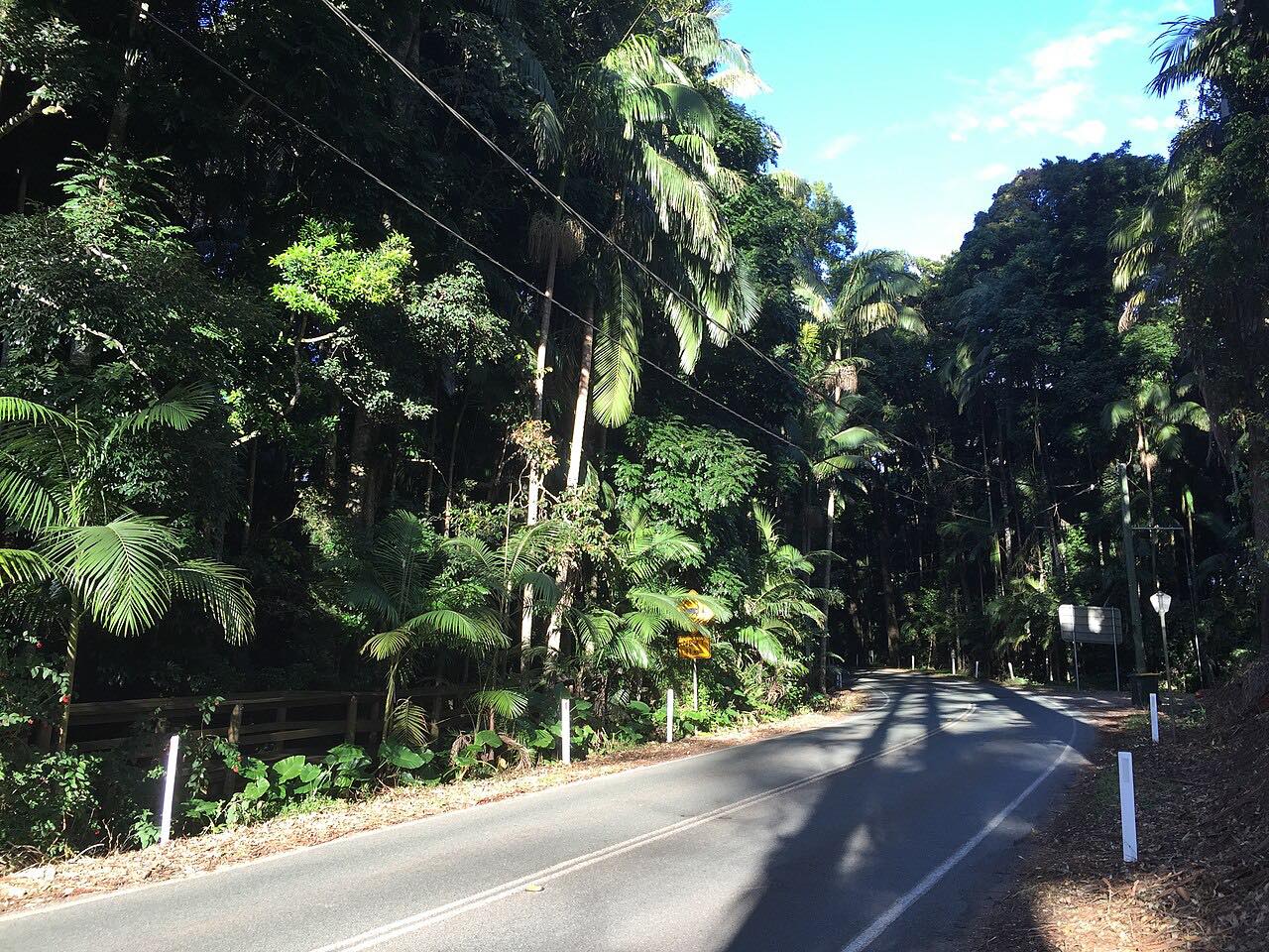
Mount Nebo Road and Mount Glorious Road make up the closest mountain drive to Brisbane. The route starts at The Gap, inside the city, climbs through the D'Aguilar Range by way of Mount Nebo and Mount Glorious, and comes down to Samford: 37 km (23 mi) of forest road with bends almost the whole way.
The Walkabout Creek Discovery Centre sits on Mount Nebo Road as you head up from The Gap, with a walk-through wildlife centre and cafe. Mount Nebo and Mount Glorious are small villages on the edge of D'Aguilar National Park, and both are popular stops for people driving through.
Motorcyclists use the road in large numbers, and the 27 km Mount Glorious Road has had an $11.3 million safety upgrade aimed at known crash sites.
Along the way
- The Gap
- Mount Nebo Road
- Mount Nebo
- Samford
Good to know
- Expect motorcyclists and cyclists, and keep to your side on the blind bends.
- Mount Nebo Road is a council road, split between Brisbane City Council and Moreton Bay Regional Council, so surface and works can differ along the climb.
- Check QLDTraffic before you go: roadworks with traffic controllers are common on Mount Nebo Road.
Open all year, weather permitting. Roads close for snow, fire, storms and repairs: before you set off, check QLDTraffic.
Questions about this drive
How long does the Mount Nebo and Mount Glorious drive take?
The Gap to Samford is 37 km (23 mi) and takes about 45 minutes without stops.
Which way does the Mount Glorious drive run?
It starts at The Gap, climbs Mount Nebo Road past Mount Nebo to Mount Glorious, then descends Mount Glorious Road to Samford.
Is the Mount Glorious road popular with motorcyclists?
Yes. A Queensland parliamentary petition says the road draws tens of thousands of recreational motorcyclists a year, so expect riders and take the bends carefully.
Is there a national park on the Mount Nebo to Mount Glorious road?
Yes. The road runs along and through D'Aguilar National Park, and the villages of Mount Nebo and Mount Glorious sit on its edge.
What you get in the app
Free on iPhone and Android. CarPlay and Android Auto come with Apex.
More drives near here



Distance, time, elevation, curves and intensity are from Carve's route. Checked 2026-10-28.