
Drives Queensland, Australia Brisbane, the Gold Coast and the Scenic Rim
Boonah-Rathdowney Road
Boonah - Rathdowney Road, Boonah-Rathdowney Road · Boonah → Rathdowney

The drive
Boonah-Rathdowney Road crosses the Scenic Rim from farm country at Boonah to the Mount Lindesay Highway at Rathdowney. It is signed State Route 93 and is part of Tourist Drive 16, also called Scenic Rim Drive. The drive runs 41 km (25 mi) through Wallaces Creek, Coochin and Maroon.
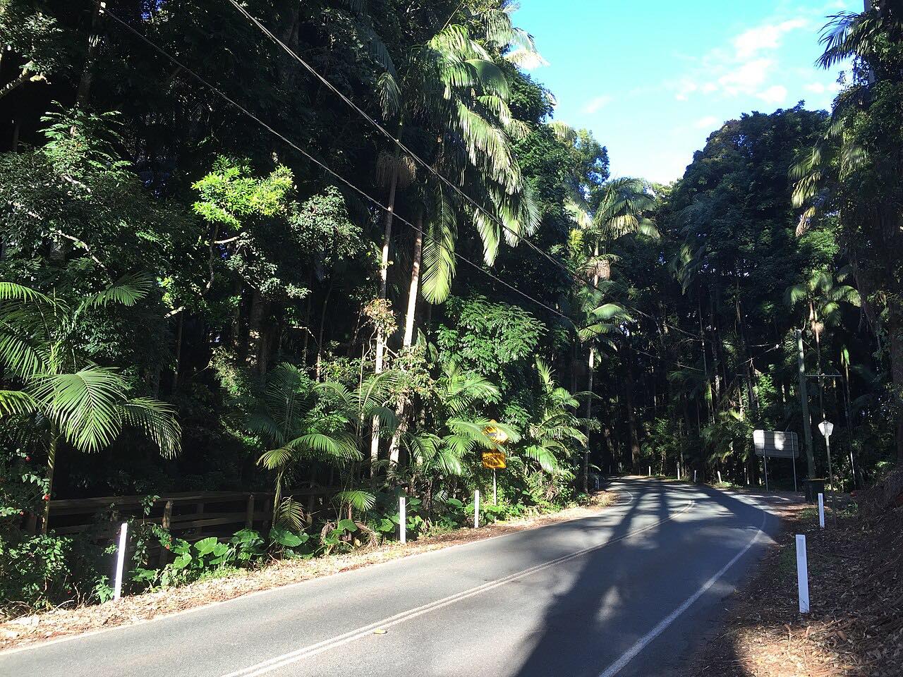
This is a country road more than a mountain road. It runs through paddocks and low ridges, bending to follow the land, with creek crossings along the way. Travel guides describe the stretch near Maroon as passing Mount Barney National Park, Mount Maroon and Lake Maroon.
At Coochin, Tourist Drive 21 (The Falls Drive) branches off toward Killarney. This drive stays on Route 93 to Rathdowney.
Along the way
- Boonah
- Rathdowney
Good to know
- Parts of the road are narrow, and low creek crossings can go under water in heavy rain.
- After heavy rain, check conditions before setting out, because Scenic Rim flood closures can change quickly.
Open all year, weather permitting. Roads close for snow, fire, storms and repairs: before you set off, check QLDTraffic.
Questions about this drive
How long does Boonah-Rathdowney Road take to drive?
Boonah to Rathdowney is 41 km (25 mi) and takes about 40 minutes.
What is the route number of Boonah-Rathdowney Road?
It is State Route 93, and it is signed as part of Tourist Drive 16 (Scenic Rim Drive).
Does Boonah-Rathdowney Road flood?
Yes. Low creek crossings on the road can go under water in heavy rain, as in past floods, so check QLDTraffic after wet weather.
Where does Boonah-Rathdowney Road end?
It ends at Rathdowney, where it meets the Mount Lindesay Highway.
What you get in the app
Free on iPhone and Android. CarPlay and Android Auto come with Apex.
More drives near here




Distance, time, elevation, curves and intensity are from Carve's route. Checked 2026-10-28.