
Drives Queensland, Australia Brisbane, the Gold Coast and the Scenic Rim
Cunninghams Gap
Cunningham Highway, A15 · Aratula → Gap Creek


The drive
The Cunningham Highway (A15) crosses the Great Dividing Range at Cunninghams Gap, a 787 m pass in Main Range National Park. This drive runs 31 km (19 mi) from Aratula, in the Fassifern Valley, up and over the gap to Gap Creek on the Darling Downs side, the way Brisbane traffic heads for Warwick.
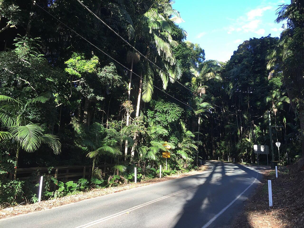
It is a highway, not a back road, but the pass section is steep and curved, with sweeping bends through national park forest and a steep grade on the descent. Allan Cunningham found the gap in 1828. The first road opened in 1927 and the sealed road in November 1949.
Along the way
- Aratula
- Gap Creek
Good to know
- This is the freight route to Warwick: about 6,000 vehicles use it each day, many of them trucks, so you will follow slow loads on the climb.
- The descent is steep, so use a low gear rather than riding the brakes.
- Check QLDTraffic before a long trip, because the pass can be affected by weather and incidents.
Open all year, weather permitting. Roads close for snow, fire, storms and repairs: before you set off, check QLDTraffic.
Questions about this drive
How long does Cunninghams Gap take to drive?
Aratula to Gap Creek on the Cunningham Highway is 31 km (19 mi) and takes about 30 minutes.
How high is Cunninghams Gap?
The pass is 787 m (2,582 ft) above sea level, in Main Range National Park.
Does the Cunningham Highway at Cunninghams Gap close?
It can, after bushfires, storms or incidents. It is a major freight route, so check QLDTraffic for current conditions.
Is Cunninghams Gap steep?
Yes. The highway has a steep grade on the descent, and trucks are common, so drive in a low gear going down.
What you get in the app
Free on iPhone and Android. CarPlay and Android Auto come with Apex.
More drives near here
 Boonah-Rathdowney RoadLeisurely · Boonah - Rathdowney Road, Boonah-Rathdowney Road · 25 mi
 O'Reilly's RoadIntense · Lamington National Park Road · 18.9 mi
 Tamborine Mountain RoadTwisty · Tamborine Mountain Road, MacDonnell Road · 12.1 mi
 Beechmont Road to Binna BurraTwisty · Beechmont Road, Binna Burra Road · 16.2 mi
Distance, time, elevation, curves and intensity are from Carve's route. Checked 2026-10-28.