Drives Queensland, Australia Brisbane, the Gold Coast and the Scenic Rim
Tamborine Mountain Road
Tamborine Mountain Road, MacDonnell Road, White Road · Tamborine → Canungra


The drive
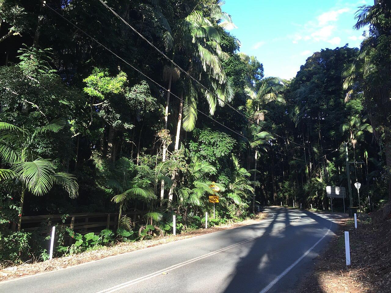
Tamborine Mountain Road climbs the Tamborine escarpment from the Beaudesert-Beenleigh Road at Tamborine, runs along the mountain top through Eagle Heights and Mount Tamborine on Main Western Road, and then drops down to Canungra. The drive is 19.5 km (12 mi) and takes about 30 minutes.
The climb has two large S bends on the Sandy Creek to North Tamborine stretch, built to gain height gradually, and the Cedar Creek to North Tamborine section is very steep. Part of the road is signed State Route 95. The final descent toward Canungra is winding and very narrow, and that stretch is known as the Goat Track.
A landslip in December 2020 closed the Canungra side, and the road was reopened in August 2022 after more than 20,000 tonnes of debris had been cleared and the slope was stabilized with rock anchors and mesh.
Along the way
- Tamborine
- Eagle Heights
- Mount Tamborine
- Main Western Road
- Tamborine Mountain Road
- Canungra (Tamborine Mountain Road)
Good to know
- The descent into Canungra is very narrow and winding, so slow down for blind bends.
- Storm and landslip repair work is common on the mountain roads, so check QLDTraffic for roadworks.
- Landslips have closed the Canungra side before, so check QLDTraffic after heavy rain.
Open all year, weather permitting. Roads close for snow, fire, storms and repairs: before you set off, check QLDTraffic.
Questions about this drive
How long does Tamborine Mountain Road take?
Tamborine to Canungra is 19.5 km (12 mi) and takes about 30 minutes.
What is the Goat Track at Tamborine Mountain?
It is the local name for the narrow, winding southern stretch of Tamborine Mountain Road between Canungra and the mountain.
Does Tamborine Mountain Road close?
It can. A landslip closed the Canungra side from December 2020 to August 2022. Check QLDTraffic for current conditions.
Which way does the Tamborine Mountain drive run?
It starts at Tamborine, climbs through Eagle Heights and Mount Tamborine, and descends to Canungra.
What you get in the app
Free on iPhone and Android. CarPlay and Android Auto come with Apex.
More drives near here
 O'Reilly's RoadIntense · Lamington National Park Road · 18.9 mi
 Beechmont Road to Binna BurraTwisty · Beechmont Road, Binna Burra Road · 16.2 mi
 Nerang-Murwillumbah RoadSweeping · Nerang - Murwillumbah Road, Nerang-Murwillumbah Road · 39 mi
 Gold Coast-Springbrook RoadIntense · Gold Coast Springbrook Road, Springbrook Road · 15.6 mi
Distance, time, elevation, curves and intensity are from Carve's route. Checked 2026-10-28.