
Drives Queensland, Australia Brisbane, the Gold Coast and the Scenic Rim
Nerang-Murwillumbah Road
Nerang - Murwillumbah Road, Nerang-Murwillumbah Road, Numinbah Road · Nerang → Murwillumbah


The drive
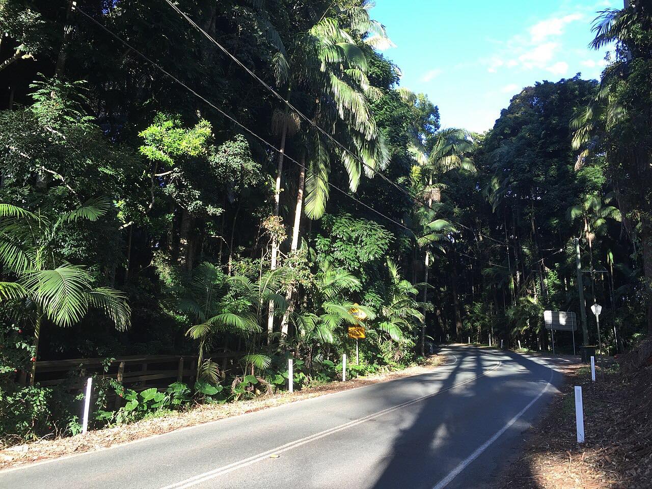
Nerang-Murwillumbah Road links the Gold Coast to the Tweed Valley by the back way. The Queensland end is State Route 97, which starts in Nerang, passes Mount Nathan, Clagiraba and Advancetown, and then runs along the western shore of Advancetown Lake, held back by Hinze Dam. The road follows the Nerang River up the Numinbah Valley.
At about 405 m above sea level it crosses into New South Wales, where it becomes Numinbah Road (Tourist Drive 34), and runs on down to Murwillumbah. The whole drive is 62 km (39 mi) and sealed. In the Queensland section about 11.5 km has a grade above 5% and 2.4 km above 15%, so the climbs and descents are long.
Natural Bridge, a short walk from the road in the Numinbah Valley, is known for a waterfall that falls through a rock arch and for glow worms in the cave. Beechmont Road, Latimers Crossing Road and Pine Creek Road all branch off this route.
Along the way
- Nerang
- Murwillumbah
Good to know
- Grades are steep in places, with 2.4 km above 15% on the Queensland side.
- The road crosses a state border: Queensland's QLDTraffic covers the northern half and Live Traffic NSW covers Numinbah Road.
- Check for roadworks before you go: traffic control is used for safety works and for planned burns in the Numinbah area.
Open all year, weather permitting. Roads close for snow, fire, storms and repairs: before you set off, check QLDTraffic.
Questions about this drive
How long does Nerang-Murwillumbah Road take?
Nerang to Murwillumbah is 62 km (39 mi) and takes about 1 hr 5 min.
Is Nerang-Murwillumbah Road sealed?
Yes. The Queensland section (State Route 97, 36.4 km) is fully sealed, and Numinbah Road continues sealed into New South Wales.
Where is the Queensland-New South Wales border on this road?
The road crosses the border at about 405 m above sea level, south of Natural Bridge, and continues as Numinbah Road.
What is the route number of Nerang-Murwillumbah Road?
The Queensland section is State Route 97; in New South Wales it is Numinbah Road, signed as Tourist Drive 34.
What you get in the app
Free on iPhone and Android. CarPlay and Android Auto come with Apex.
More drives near here
 Beechmont Road to Binna BurraTwisty · Beechmont Road, Binna Burra Road · 16.2 mi
 Gold Coast-Springbrook RoadIntense · Gold Coast Springbrook Road, Springbrook Road · 15.6 mi
 O'Reilly's RoadIntense · Lamington National Park Road · 18.9 mi
 Tamborine Mountain RoadTwisty · Tamborine Mountain Road, MacDonnell Road · 12.1 mi
Distance, time, elevation, curves and intensity are from Carve's route. Checked 2026-10-28.