
Drives Queensland, Australia Brisbane, the Gold Coast and the Scenic Rim
Mount Mee Road
Mount Mee Road, D'Aguilar Highway · Dayboro → Woodford


The drive
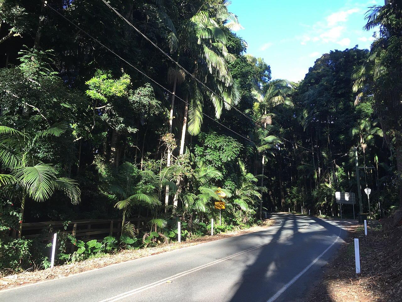
Mount Mee Road, part of the Brisbane-Woodford Road (State Route 58), runs 39 km (24 mi) from Dayboro over the D'Aguilar Range to D'Aguilar and Woodford. It takes a circuitous route across the range, two lanes and sealed the whole way, and it passes King Scrub, Ocean View, Mount Mee and Delaneys Creek.
The bends come one after another once the road leaves the farmland around Dayboro. Land beside the road is almost entirely rural. Woodford is about 4 km northwest of D'Aguilar.
Floods in 2022 damaged four sites between D'Aguilar and Dayboro. Transport and Main Roads repaired them with rockfall mesh, shotcrete and rock bolts.
Along the way
- Dayboro
- Woodford
Good to know
- Check QLDTraffic before you go: slope repairs on the range have needed lane closures and reduced speed limits in the past.
- The road is two lanes and sealed, with continuous bends over the range, so allow for slower traffic.
Open all year, weather permitting. Roads close for snow, fire, storms and repairs: before you set off, check QLDTraffic.
Questions about this drive
How long does Mount Mee Road take to drive?
Dayboro to Woodford is 39 km (24 mi) and takes about 40 minutes.
Is Mount Mee Road sealed?
Yes. Mount Mee Road is two lanes and sealed for its entire length.
Which way does the Mount Mee drive run?
It starts in Dayboro, climbs over the D'Aguilar Range through Mount Mee and D'Aguilar, and ends at Woodford.
Was Mount Mee Road damaged in the 2022 floods?
Yes. Four landslip sites between D'Aguilar and Dayboro needed repairs after the 2022 floods, and Transport and Main Roads stabilized them with rockfall mesh, shotcrete and rock bolts.
What you get in the app
Free on iPhone and Android. CarPlay and Android Auto come with Apex.
More drives near here
 Mount Nebo and Mount GloriousIntense · Mount Glorious Road, Mount Nebo Road · 23 mi
 Blackall Range: Landsborough to NambourSweeping · Maleny-Montville Road, Montville-Mapleton Road · 24 mi
 Maleny-Kenilworth RoadSweeping · Maleny Kenilworth Road, Maleny-Kenilworth Road · 23 mi
 Tamborine Mountain RoadTwisty · Tamborine Mountain Road, MacDonnell Road · 12.1 mi
Distance, time, elevation, curves and intensity are from Carve's route. Checked 2026-10-28.