
Drives Queensland, Australia The Sunshine Coast, Hinterland and Darling Downs
Blackall Range: Landsborough to Nambour
Maleny-Montville Road, Montville-Mapleton Road, Montville Mapleton Road · Landsborough → Nambour


The drive
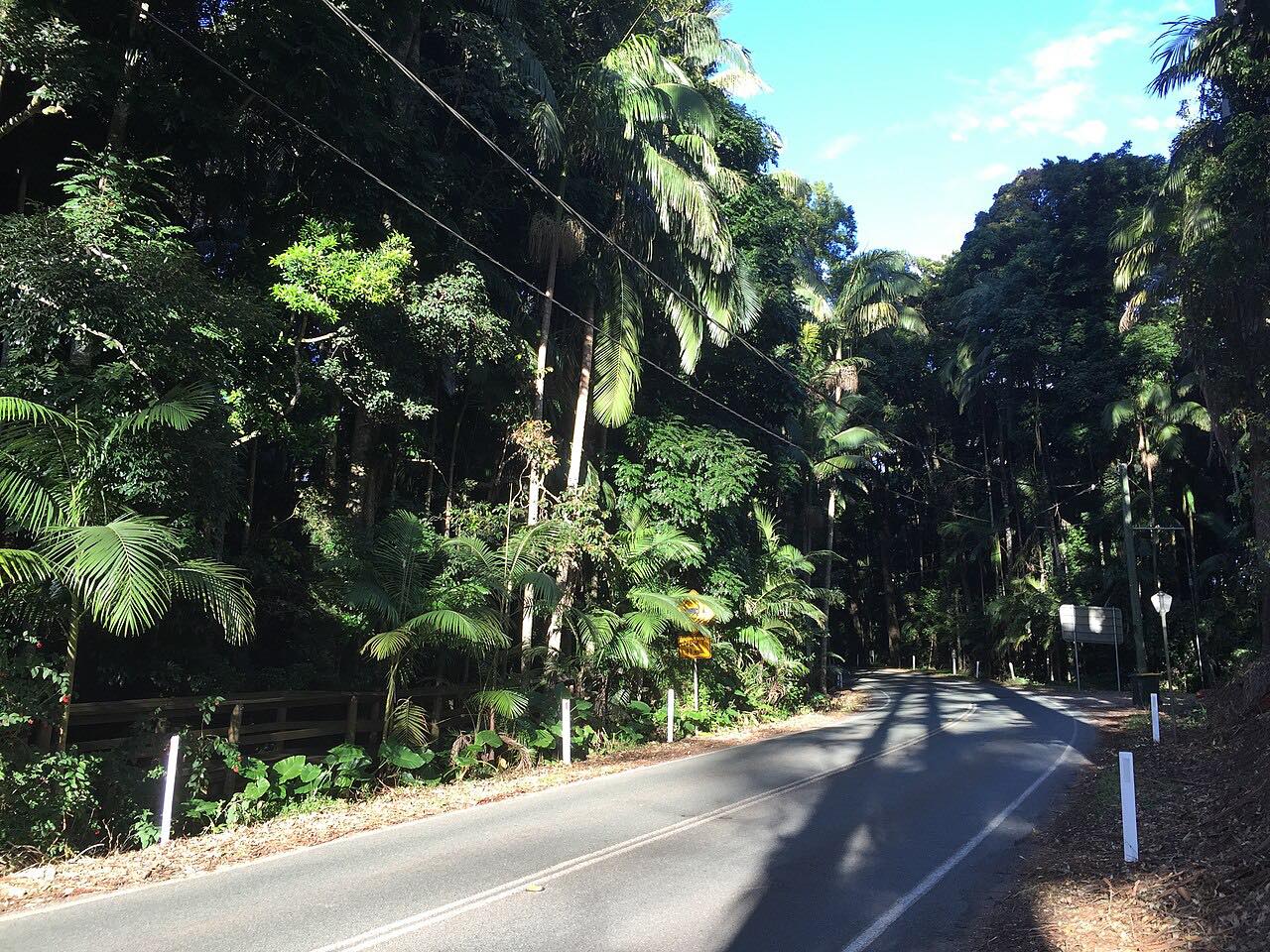
The Blackall Range is the escarpment behind the Sunshine Coast, and this 39 km (24 mi) drive crosses it along Tourist Drive 23. From Landsborough the Landsborough-Maleny Road climbs from 37 m to 446 m in 15.2 km. At Maleny the Maleny-Montville Road follows the eastern edge of the range to Montville, and Flaxton Drive carries on through Flaxton to Mapleton.
From Mapleton the Nambour-Mapleton Road, 12.2 km, drops back down to 21 m at Nambour. The range-top villages are the draw: Maleny for its bookshops, cafes and food producers, Montville for its galleries and timber buildings. Mapleton Falls National Park and Kondalilla Falls are nearby.
The drive stops at Mapleton rather than continuing down Obi Obi Road to Kenilworth, whose downhill section is mostly unsealed.
Along the way
- Landsborough
- Maleny
- Montville
- Flaxton Drive
- Nambour Mapleton Road
- Nambour
Good to know
- The climb out of Landsborough has 330 m above 15%, and the Maleny-Montville Road has 970 m above 15%.
- Obi Obi Road down to Kenilworth is partly unsealed and is not part of this drive.
- Transport and Main Roads is planning a roundabout at the Maleny intersection; no closure has been announced.
Open all year, weather permitting. Roads close for snow, fire, storms and repairs: before you set off, check QLDTraffic.
Questions about this drive
How long does the Blackall Range drive take?
Landsborough to Nambour is 39 km (24 mi) and takes about 45 minutes without stops.
What is Tourist Drive 23?
It is the signed route over the Blackall Range through Maleny, Montville and Mapleton, and almost all of the Landsborough-Maleny Road is part of it.
Which towns does the Blackall Range drive pass through?
It runs from Landsborough through Maleny, Montville, Flaxton and Mapleton to Nambour.
Does the Blackall Range drive include Obi Obi Road?
No. The drive ends at Nambour by way of Mapleton; Obi Obi Road to Kenilworth has a mostly unsealed downhill section and is not used.
What you get in the app
Free on iPhone and Android. CarPlay and Android Auto come with Apex.
More drives near here
 Maleny-Kenilworth RoadSweeping · Maleny Kenilworth Road, Maleny-Kenilworth Road · 23 mi
 Mount Mee RoadTwisty · Mount Mee Road, D'Aguilar Highway · 24 mi
 Mount Nebo and Mount GloriousIntense · Mount Glorious Road, Mount Nebo Road · 23 mi
 Tamborine Mountain RoadTwisty · Tamborine Mountain Road, MacDonnell Road · 12.1 mi
Distance, time, elevation, curves and intensity are from Carve's route. Checked 2026-10-28.