Drives Kentucky Nashville, Kentucky and the Cumberlands
Highway 119: Whitesburg to Pound Gap
US 119, Jenkins Road, Barren Road · Whitesburg → Pound Gap area

The drive
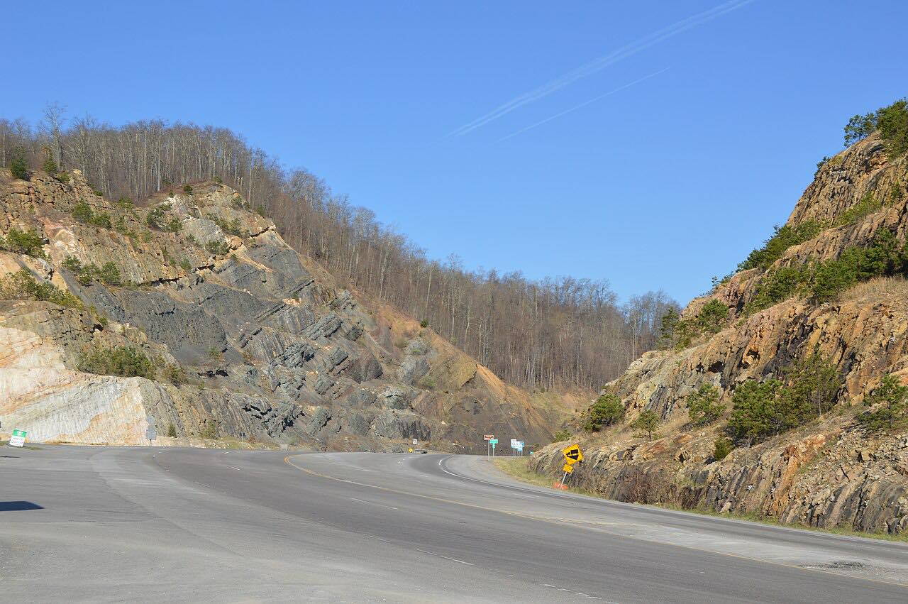
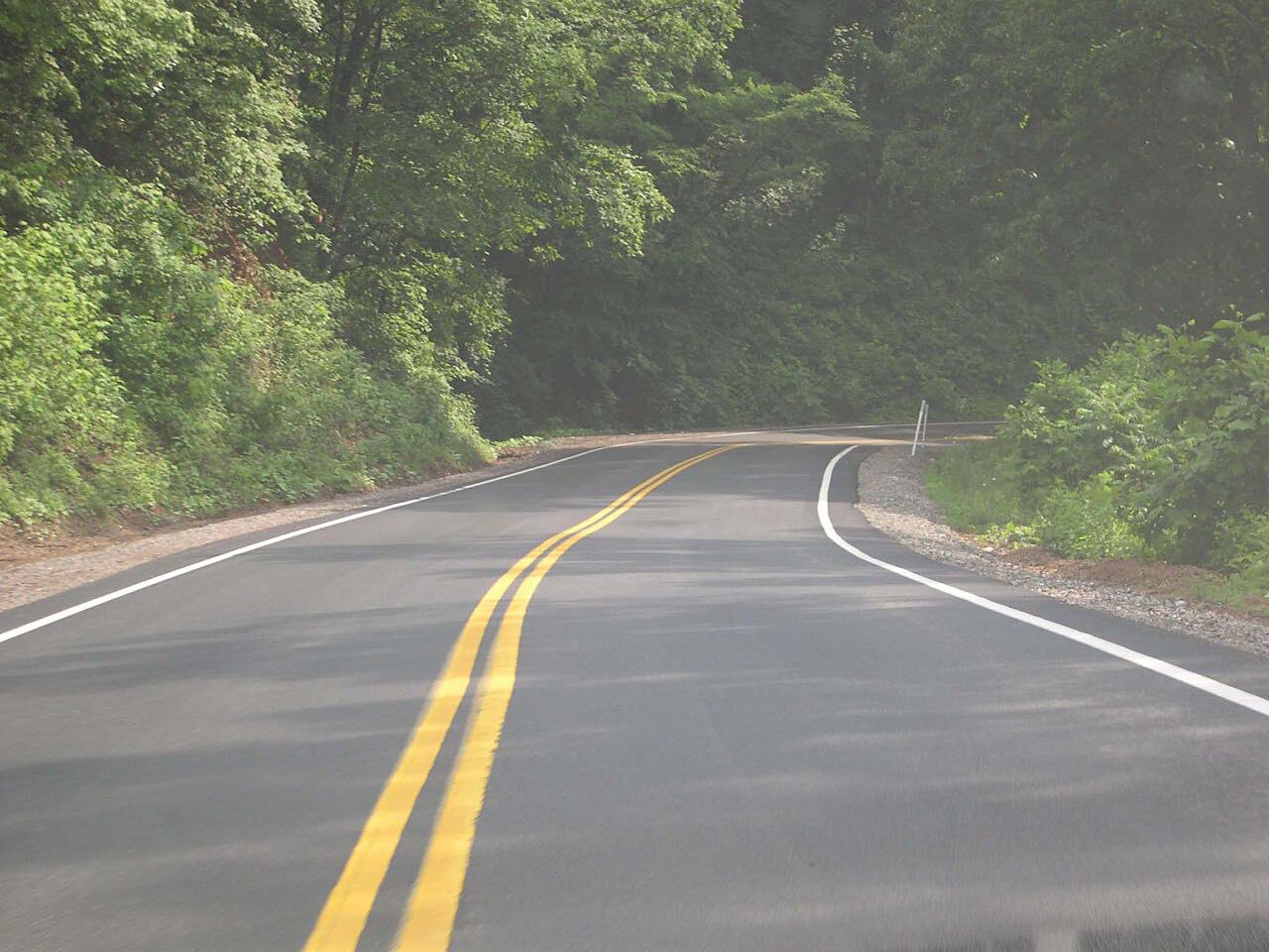
US 119 climbs out of Whitesburg and over Pine Mountain, the long ridge that forms the Kentucky and Virginia border country. The route follows a meandering course along the mountain, with bends and hollows in Letcher County and few cars outside the towns.
The drive ends near the top of Pine Mountain, short of the pullouts at the state line. Pound Gap itself, a pass through the ridge at 2,392 feet, was crossed by Daniel Boone in 1774, who called it Sounding Gap. Today US 23 runs through the gap between Jenkins, Kentucky, and Pound, Virginia.
The mountain section of US 119 has been widened in places to improve safety for truck traffic, so expect trucks on the climb.
Along the way
- Whitesburg (KY 15)
- Pound Gap area (Pine Mountain top)
Good to know
- Trucks use this road, so be ready for slow climbs and wide turns on the mountain.
- The drive ends on the mountain near Pound Gap, not at the Virginia line pullouts.
- Check Kentucky's GoKY site for current closures before a winter trip over the ridge.
Open all year, weather permitting. Roads close for snow, fire, storms and repairs: before you set off, check GoKY (Kentucky Transportation Cabinet).
Questions about this drive
How long is US 119 from Whitesburg to Pound Gap?
It is 12.5 miles and takes about 19 minutes.
What is Pound Gap?
Pound Gap is a pass through Pine Mountain on the Virginia-Kentucky border between Jenkins and Pound. Daniel Boone crossed it in 1774.
Does US 119 over Pine Mountain have truck traffic?
Yes. The mountain section has been widened in places to improve safety for trucks.
What you get in the app
Free on iPhone and Android. CarPlay and Android Auto come with Apex.
More drives near here



Distance, time, elevation, curves and intensity are from Carve's route. Checked 2026-10-28.