
Drives Kentucky Roanoke and Southwest Virginia
Breaks Canyon: Highways 80 and 83
KY 80, VA 83, Patty Loveless Drive · Elkhorn City → Clintwood

The drive
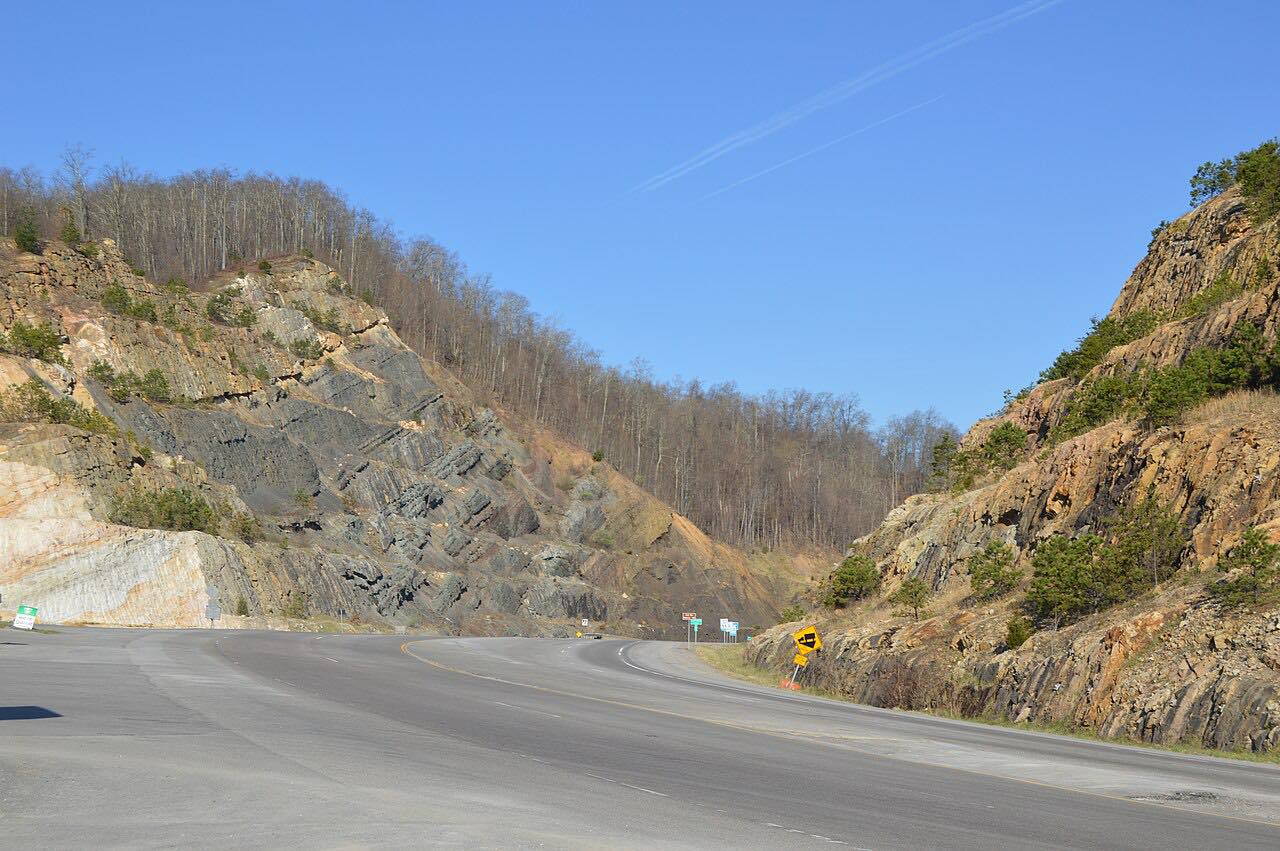
This drive starts in Elkhorn City at US 460 and follows KY 80 into Virginia, where it becomes VA 80. It passes the community of Breaks and the entrance to Breaks Interstate Park, which calls itself the Grand Canyon of the South and describes Breaks Canyon as one of the deepest gorges east of the Mississippi. VA 80 follows Grassy Creek and Hunts Creek, staying out of the gorge itself.
The park's overlooks include Stateline, Towers Tunnel, Clinchfield and Russell Fork, and the Russell Fork river below is known for demanding whitewater.
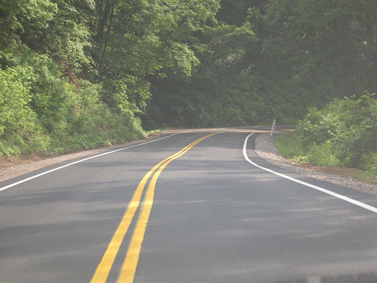
The road then carries on to Haysi, where VA 80 and VA 83 meet, and VA 83 continues to Clintwood. It's about 33 miles of bends with very little traffic.
Along the way
- Elkhorn City (US 460)
- Clintwood
Good to know
- Breaks Interstate Park charges a day-use fee per car for visitors who go in; the road passes the park entrance.
- The park gates close during certain inclement weather events.
- Plan fuel before you start.
Open all year, weather permitting. Roads close for snow, fire, storms and repairs: before you set off, check Breaks Interstate Park.
Questions about this drive
How long is the Breaks Canyon drive on Highways 80 and 83?
From Elkhorn City to Clintwood it is 33.1 miles and takes about 56 minutes.
Is there a fee at Breaks Interstate Park?
The park charges a day-use fee per car for visitors who enter. The park's own page lists the current fee.
What is Breaks Canyon?
It is a gorge cut by the Russell Fork, which the park describes as one of the deepest east of the Mississippi River.
What you get in the app
Free on iPhone and Android. CarPlay and Android Auto come with Apex.
More drives near here


Distance, time, elevation, curves and intensity are from Carve's route. Checked 2026-10-28.