
Drives Kentucky Nashville, Kentucky and the Cumberlands
Black Mountain: Highway 160
KY 160 · Lynch → Appalachia, Virginia

The drive
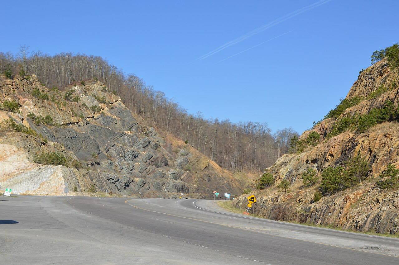
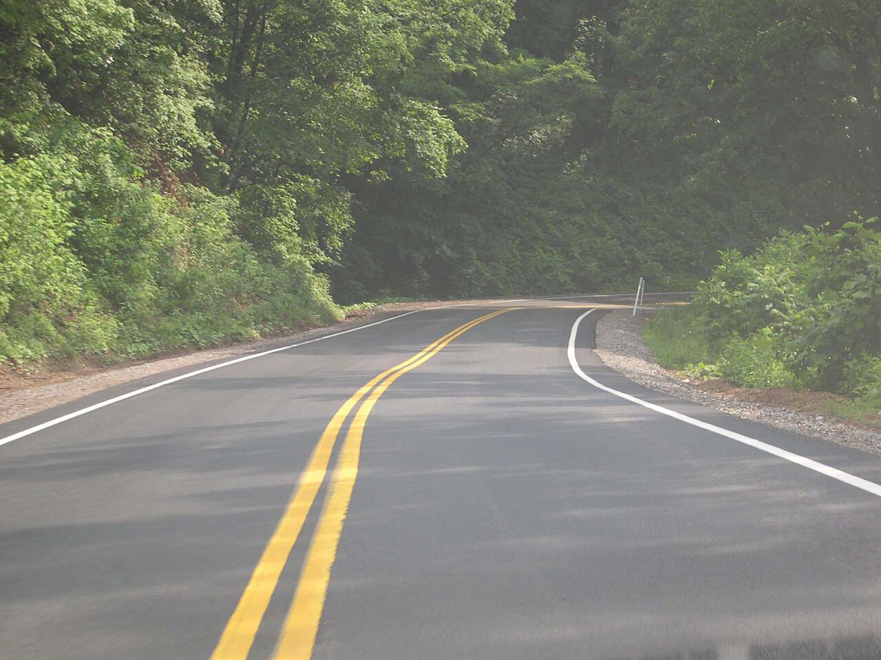
Highway 160 starts in the coal town of Lynch, Kentucky, and climbs Black Mountain to the Virginia line before dropping into Appalachia. It's 14.9 miles, and it is twisty almost the whole way. Locals promote it as the Dragon Slayer, and the Harlan County tourism site calls the climb curvy and a favorite of motorcycle groups and car clubs.
Black Mountain is Kentucky's highest peak, at 4,145 feet, and the road crosses it at the state line, the highest point of Route 160. From the top the road winds down through several hairpin turns to the Looney Creek valley and follows the creek east into Appalachia. The towering trees along the way make it a fall favorite. Lynch was once one of the nation's largest coal mining towns.
Along the way
- Lynch
- Appalachia, Virginia
Good to know
- Both Kentucky and Virginia sign the road as closed to tractor-trailers between Lynch and Appalachia.
- The summit spur at the state line leads to a one-lane dirt road; it isn't part of this drive.
- Expect motorcycles and car clubs on good weekends, and take hairpins slowly.
Open all year, weather permitting. Roads close for snow, fire, storms and repairs: before you set off, check GoKY Kentucky road conditions.
Questions about this drive
How long does Highway 160 over Black Mountain take?
Highway 160 from Lynch, Kentucky, to Appalachia, Virginia, is 14.9 miles and takes about 30 minutes.
Can trucks drive Highway 160 over Black Mountain?
No. Highway 160 is signed closed to tractor-trailers between Lynch and Appalachia because of the mountain terrain and tight bends.
What is the Dragon Slayer in Kentucky?
It's the local name for Highway 160 from Lynch up Black Mountain, Kentucky's highest peak, a curvy climb popular with motorcyclists and car clubs.
What you get in the app
Free on iPhone and Android. CarPlay and Android Auto come with Apex.
More drives near here


Distance, time, elevation, curves and intensity are from Carve's route. Checked 2026-10-28.