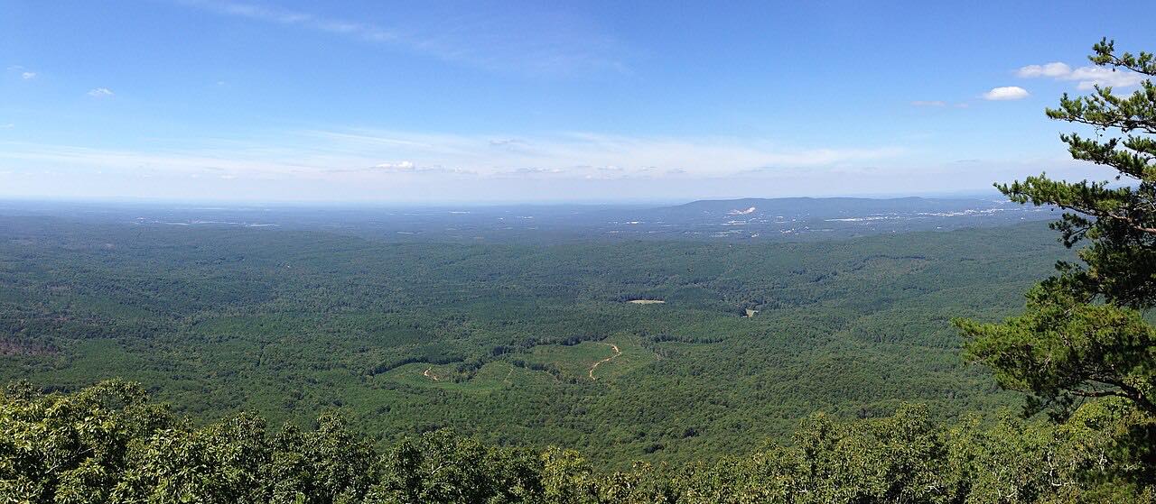


The drive
Alabama Highway 281, the Talladega Scenic Drive, starts at US 78 just west of Heflin and runs through the Talladega National Forest, passing through the Cheaha Wilderness area on the way to Cheaha State Park. It follows the Horseblock and Cheaha Mountains, the southernmost part of the Appalachians, and ends at the park road after 19.3 miles.
The Forest Service describes it as offering a bird's-eye view of scenic mountains, rock outcroppings and small rural settlements. The state park sits at 2,407 feet, the highest point in Alabama, and the park itself recommends AL 281 as well maintained and wide, easy to drive with large recreational vehicles. It is sweeping, with twisty stretches only at the very start and near the end.
Along the way
- US 78 (west of Heflin)
- Cheaha State Park
Good to know
- Cheaha State Park charges day admission: $5 for ages 12 and older, with lower rates for children, seniors and free entry for veterans and active military with ID.
- Cheaha State Park says AL 281 is wide and easy to drive with large recreational vehicles.
- Pavement on SR 281 ends where it meets Adams Gap Road and Forest Road 600, past this drive.
Open all year, weather permitting. Roads close for snow, fire, storms and repairs: before you set off, check Recreation.gov: Talladega Scenic Drive.
Questions about this drive
How long does the Talladega Scenic Drive take?
The Talladega Scenic Drive on AL 281 from US 78 to Cheaha State Park is 19.3 miles and takes about 30 minutes.
Where does the Talladega Scenic Drive start?
It starts where US 78 meets AL 281, just west of Heflin, and runs through Talladega National Forest.
Is there a fee at Cheaha State Park?
Yes. Cheaha State Park charges $5 for ages 12 and older for day admission, with lower or no rates for some groups.
What you get in the app
Free on iPhone and Android. CarPlay and Android Auto come with Apex.
More drives near here
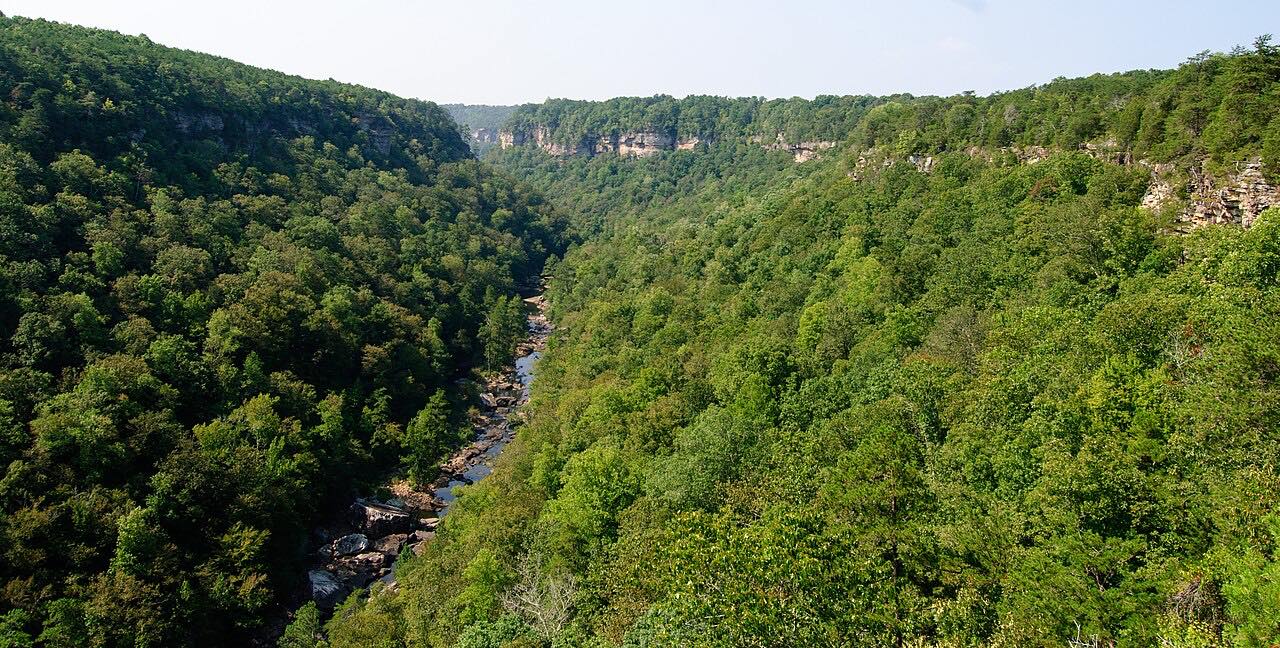 Little River Canyon Rim ParkwayTwisty · AL 176, Rim Parkway · 13.7 mi
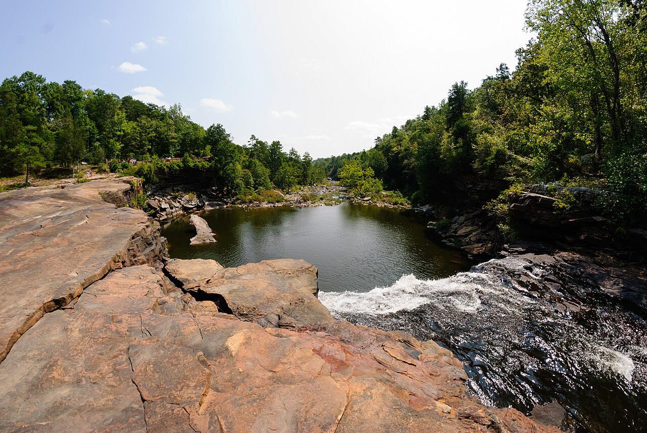 Lookout Mountain Parkway: MentoneSweeping · County Road 89, DeSoto Parkway · 13.5 mi
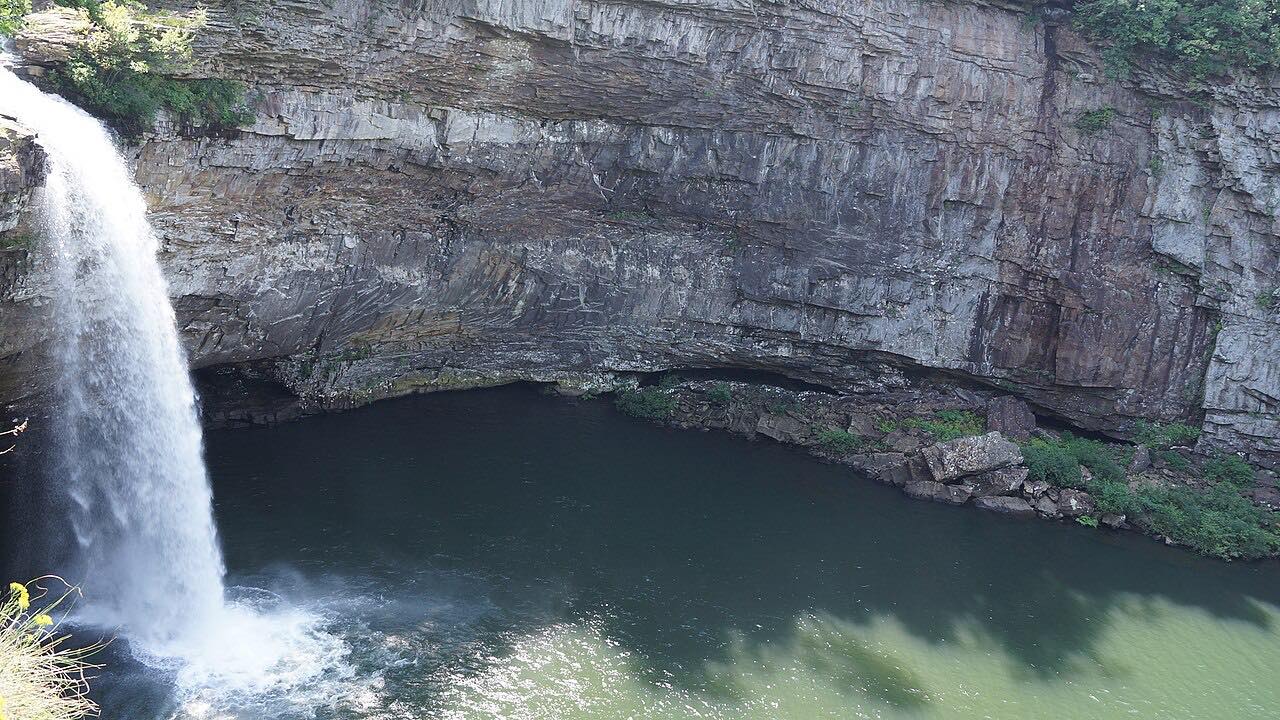 DeSoto Scenic ParkwayTwisty · DeSoto Parkway, Desoto Parkway · 6.8 mi
 Highway 227: Guntersville to ScottsboroLeisurely · AL 227, County Road 67 · 31 mi
Distance, time, elevation, curves and intensity are from Carve's route. Checked 2026-10-28.