Drives South Carolina The Carolina Piedmont and Coast
Sea Island Parkway: Beaufort to Hunting Island
Sea Island Parkway, US 21 · Beaufort → Hunting Island

The drive
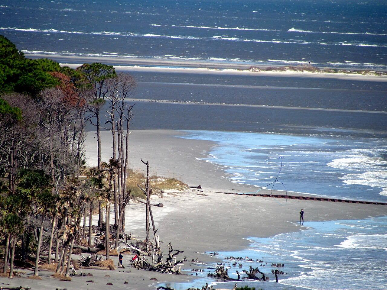
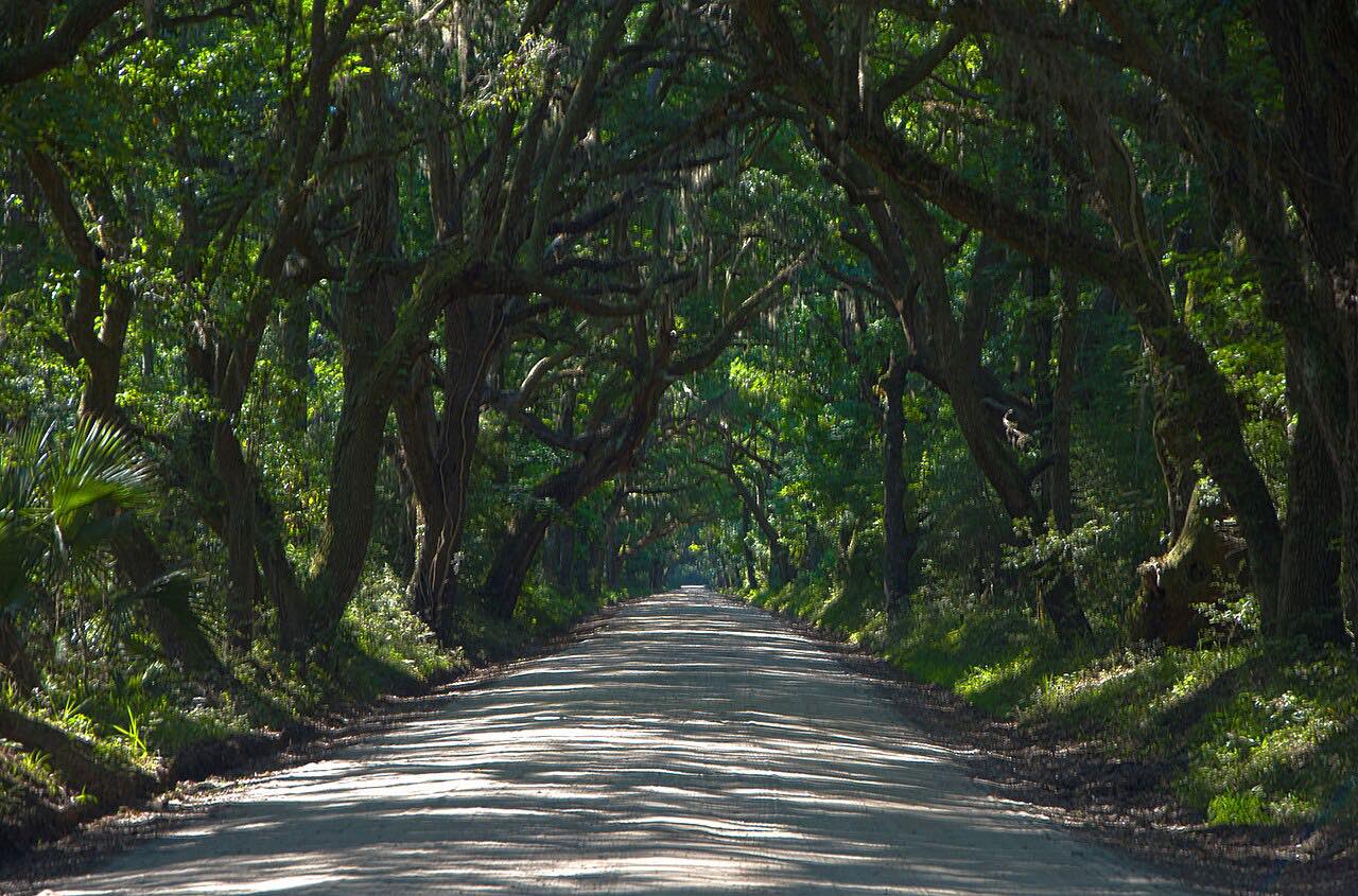
Sea Island Parkway runs east from Beaufort across Lady's Island and on to St. Helena Island, ending at the edge of Hunting Island. It is the Lowcountry at a slow pace: a flat road over tidal country with marsh and live oaks, never far above sea level.
St. Helena Island is the heart of Gullah culture, and Penn Center sits on it. The former Penn School, one of the first schools for formerly enslaved people, is now a National Historic Landmark District with a museum open Tuesday through Saturday.
The drive ends before the Hunting Island State Park gate. Going on into the park means paying the park's entry fee.
Along the way
- Beaufort
- Hunting Island
Good to know
- This is a low-speed road, not a twisty one: the pleasure is the scenery, so leave time to take it slowly.
- Hunting Island State Park charges an entry fee per person at its gate, past the end of this drive.
- Penn Center's museum keeps set hours and is closed Sundays and Mondays; check before planning a stop.
Open all year, weather permitting. Roads close for snow, fire, storms and repairs: before you set off, check 511SC (SCDOT).
Questions about this drive
How long is Sea Island Parkway from Beaufort to Hunting Island?
It is 16.7 miles and takes about 24 minutes without stops.
Is there a fee to reach Hunting Island?
The drive ends before the park gate. Entering Hunting Island State Park costs a per-person entry fee.
Is Sea Island Parkway a twisty road?
No. It is a low, mostly straight road over marsh and tidal creeks, and its appeal is the Lowcountry scenery.
What is Penn Center on St. Helena Island?
Penn Center is a National Historic Landmark District on St. Helena Island that grew from the Penn School, one of the first schools for formerly enslaved people. It has a museum and welcome center.
What you get in the app
Free on iPhone and Android. CarPlay and Android Auto come with Apex.
More drives near here


Distance, time, elevation, curves and intensity are from Carve's route. Checked 2026-10-28.