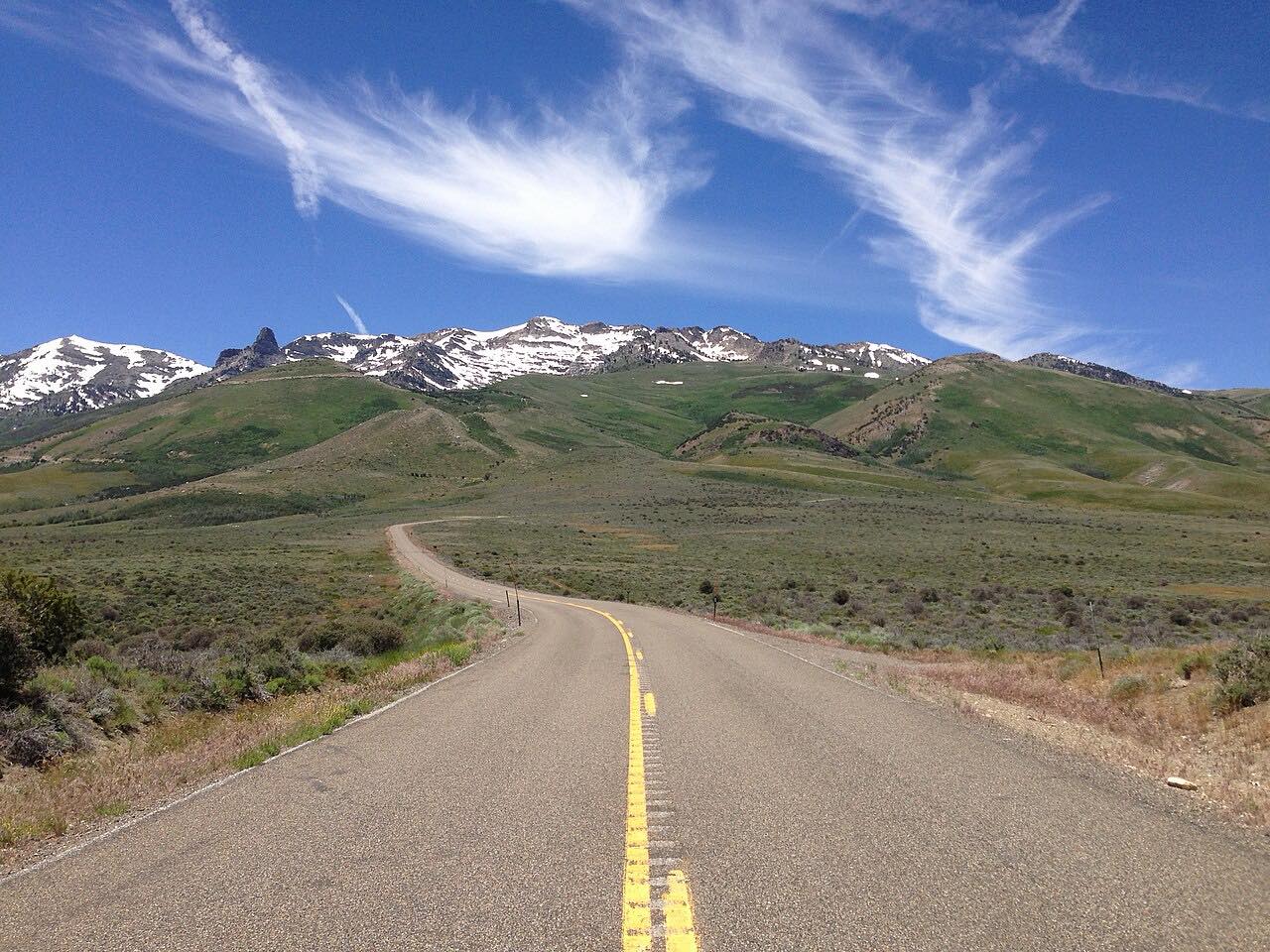

The drive
Angel Lake Road, Nevada SR 231, climbs from Wells and Interstate 80 up the east side of the East Humboldt Range. It descends the other way through switchbacks and has been a Nevada Scenic Byway since 1995. The road ends at Angel Lake.
Angel Lake is a glacial tarn at 8,378 feet, set at the base of a steep cirque with high cliffs around it. A campground with 26 sites and a picnic area sit on the shore.
Along the way
- Wells
- Angel Lake
Good to know
- The road may be closed to travel during winters.
- The road has a fee booth for access to the lake and its picnic and camping areas.
- The road ends at the lake, so you return the same way.
Closed by snow from about November to late May. Roads close for snow, fire, storms and repairs: before you set off, check Nevada 511 road conditions.
Questions about this drive
Is Angel Lake Road open in winter?
Angel Lake Road may be closed to travel during winters. Check Nevada 511 before you go.
How long does Angel Lake Road take from Wells?
Angel Lake Road from Wells to Angel Lake is 11.3 miles and takes about 35 minutes, climbing about 3,000 feet.
Is Angel Lake Road twisty?
It has switchbacks on the way up, and it is rated Sweeping, with one twisty stretch.
What you get in the app
Free on iPhone and Android. CarPlay and Android Auto come with Apex.
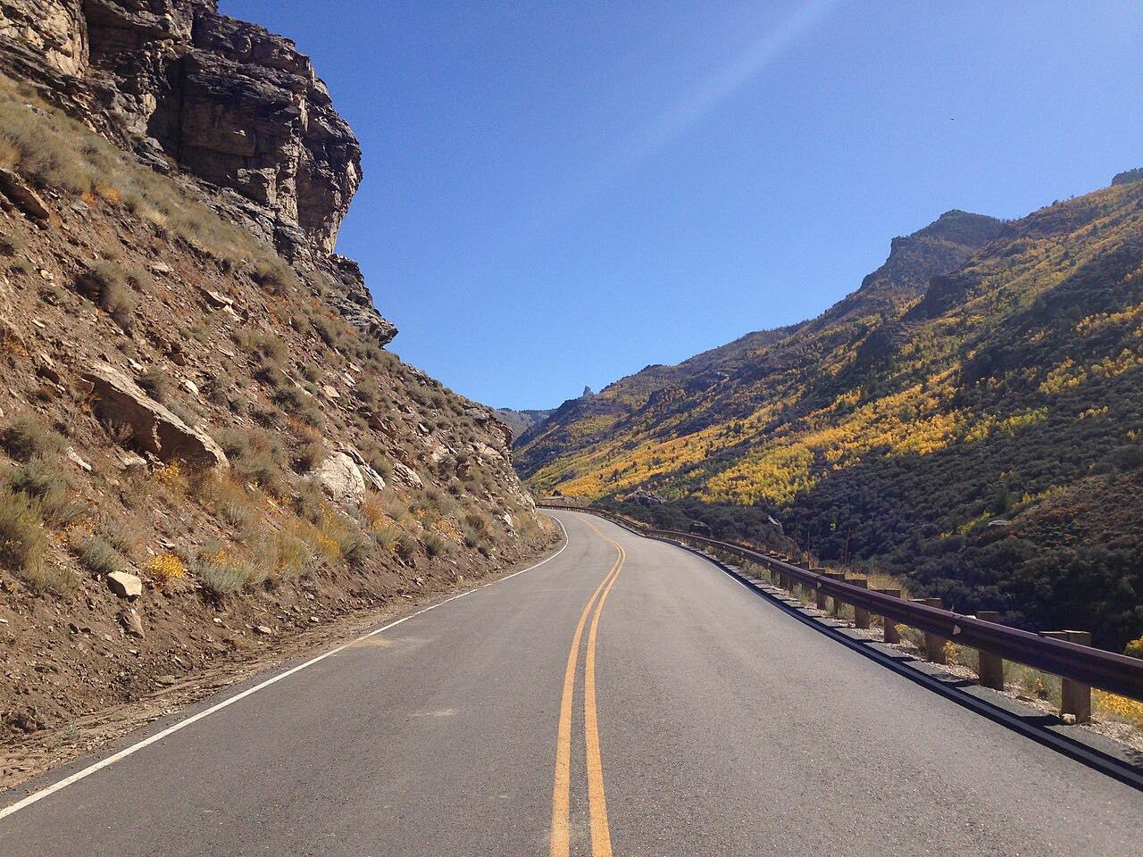
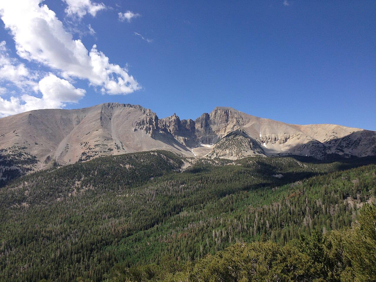
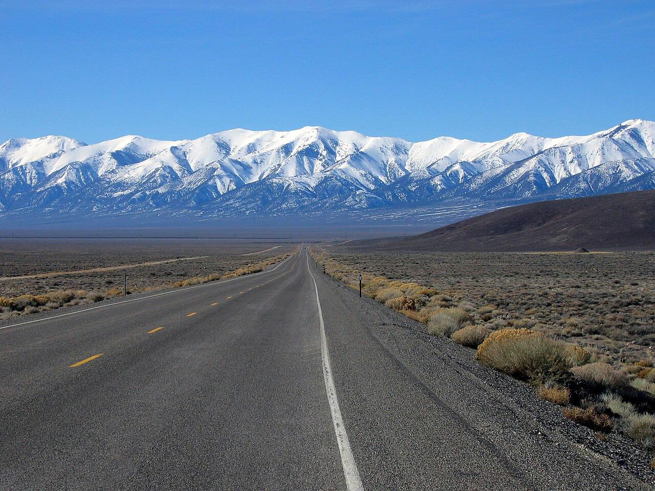
More drives near here


Distance, time, elevation, curves and intensity are from Carve's route. Checked 2026-10-28.