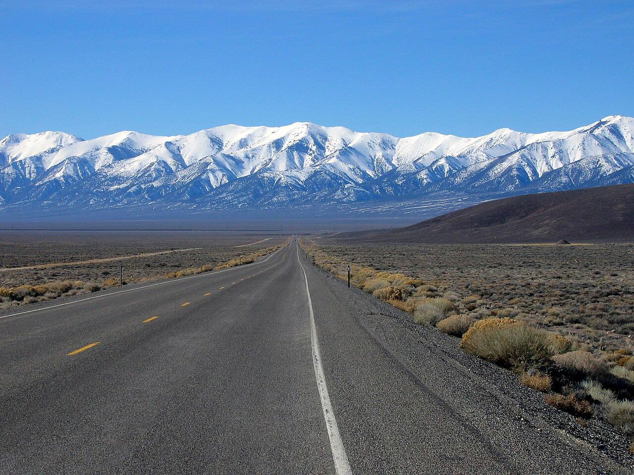

The drive
US 50 across Nevada was named the Loneliest Road in America by Life magazine in July 1986. The state turned the label into a tourism theme and put markers along the route. This drive goes east from Austin to Eureka.
Austin was founded when Pony Express riders found silver; it had about 10,000 residents in 1862 and about 300 today. East of town the road climbs Austin Summit (7,484 feet) with hairpin turns, then crosses Bob Scott Summit (7,267 feet) and Hickison Summit (6,546 feet).
The Hickison Petroglyph Recreation Area, about 20 miles east of Austin, has a rest area, a campground and a walking tour of petroglyphs. Eureka is another mining town, with an opera house built in 1880.
Along the way
- Austin
- Hickison Summit petroglyphs
- Eureka
Good to know
- The climb out of Austin has hairpin turns and steep grades.
- Check Nevada 511 for winter conditions.
Open all year, weather permitting. Roads close for snow, fire, storms and repairs: before you set off, check Nevada 511 road conditions.
Questions about this drive
How long is US 50 from Austin to Eureka?
US 50 from Austin to Eureka is 68.9 miles and takes about 1 hr 15 min.
Why is US 50 called the Loneliest Road in America?
Life magazine gave Nevada's US 50 that name in July 1986. Nevada adopted it for tourism and placed markers along the route.
What is there to see on US 50 between Austin and Eureka?
Hickison Petroglyph Recreation Area, about 20 miles east of Austin, has a walking tour of petroglyphs. Both Austin and Eureka are historic mining towns.
What you get in the app
Free on iPhone and Android. CarPlay and Android Auto come with Apex.
More drives near here

Distance, time, elevation, curves and intensity are from Carve's route. Checked 2026-10-28.