Drives California The High Sierra
Monitor Pass: Highway 89
CA 89, Monitor Pass · Highway 4 junction → US 395

The drive
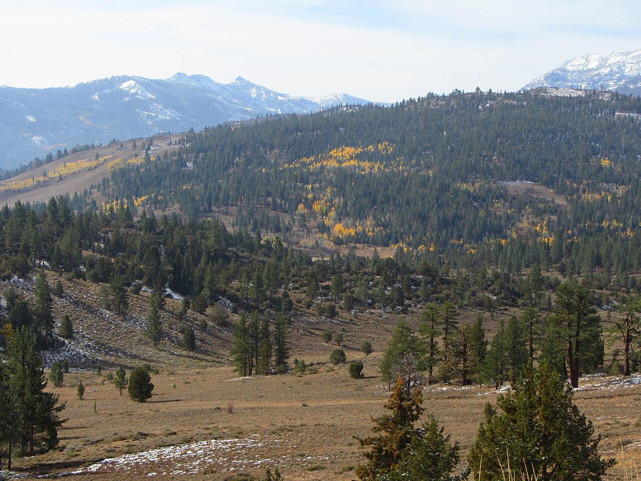
Highway 89 leaves the Highway 4 junction near Markleeville and climbs through aspen and sagebrush to Monitor Pass, 8,314 feet, a broad open summit. From there a long, curving descent drops east toward US 395 near Topaz, with views over Antelope Valley. Three twisty stretches punctuate the road.
Jedediah Smith is said to have crossed here in spring 1827, the first crossing of the Sierra by a non-native. The highway was finished in the early 1950s, and it links Ebbetts Pass to US 395, so it pairs with the Ebbetts Pass drive for a longer day.
Along the way
- Highway 4 junction (near Markleeville)
- Monitor Pass summit
- US 395 (near Topaz)
Good to know
- The pass is closed by snow in winter, generally from late November to early April, with dates varying by weather.
- Trucks are not advised on this road.
- The east side drops quickly, so use a low gear on the descent.
Closed by snow from about late November until April. Roads close for snow, fire, storms and repairs: before you set off, check Caltrans: Highway 89 conditions.
Questions about this drive
How long does Monitor Pass on Highway 89 take?
Highway 89 over Monitor Pass is 17 miles and takes about 25 min.
Is Monitor Pass open in winter?
No. Highway 89 over Monitor Pass is generally closed from late November to early April, depending on snow.
How high is Monitor Pass?
Monitor Pass on Highway 89 is 8,314 feet above sea level.
When do the aspens turn on Monitor Pass?
Aspen groves grow near the summit, so the pass is a fall color stop. Timing varies by year; check local reports.
What you get in the app
Free on iPhone and Android. CarPlay and Android Auto come with Apex.
More drives near here


Distance, time, elevation, curves and intensity are from Carve's route. Checked 2026-10-28.