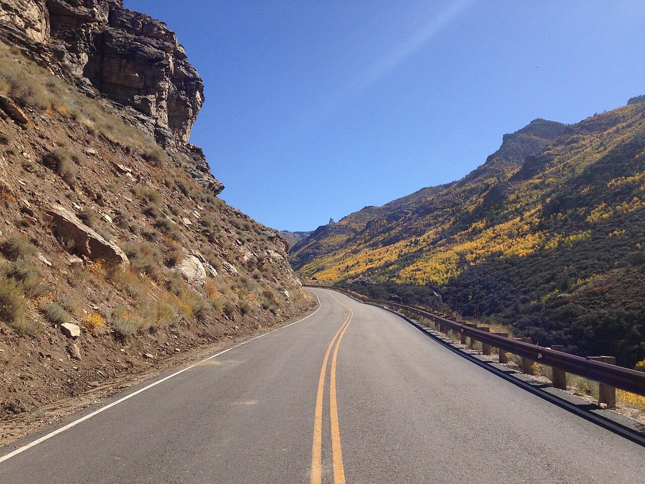

The drive
Lamoille Canyon is the largest valley in the Ruby Mountains and about 12 miles long. Glaciers sculpted it in earlier ice ages, leaving a U-shaped cross section and four hanging valleys near Thomas Peak.
Lamoille Canyon Road is a National Forest Scenic Byway. It climbs to Road's End at about 8,800 feet, where the canyon makes a sweeping turn around Thomas Peak and the Ruby Crest National Recreation Trail begins.
Along the way
- Lamoille (Highway 227)
- Roads End
Good to know
- The Ruby Crest National Recreation Trail starts at Road's End and covers 38 miles.
- The road ends at Road's End, so you return the same way.
- Check Nevada 511 and with the Forest Service on snow closures before going.
Upper canyon closed by snow from about November to May. Roads close for snow, fire, storms and repairs: before you set off, check Nevada 511 road conditions.
Questions about this drive
How long is Lamoille Canyon Road?
Lamoille Canyon Road from the NV-227 junction near Lamoille to Roads End is 11.6 miles and takes about 20 minutes.
What is at the end of Lamoille Canyon Road?
Road's End, at about 8,800 feet, is where the 38-mile Ruby Crest National Recreation Trail begins.
What you get in the app
Free on iPhone and Android. CarPlay and Android Auto come with Apex.
More drives near here


Distance, time, elevation, curves and intensity are from Carve's route. Checked 2026-10-28.