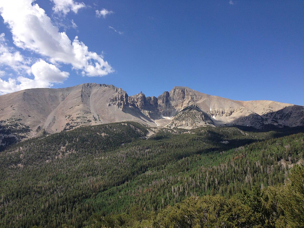

The drive
The Wheeler Peak Scenic Drive in Great Basin National Park is 12 miles of paved, steep and winding road, climbing to about 10,000 feet. The average grade is 8%. The drive starts in Baker and ends at the Wheeler Peak Campground.
The drive offers good views of Doso Doyabi and Wheeler Peak, and pullouts are where you should stop. The park offers a self-guided Great Basin Life Zones auto tour.
Along the way
- Baker
- Wheeler Peak Campground
Good to know
- The road is open to Upper Lehman Creek Campground year-round; the upper nine miles are generally open June through October, depending on weather.
- Beyond Upper Lehman Creek Campground, vehicles and trailers longer than 24 feet are not allowed.
Upper nine miles closed by snow, usually from about November to June. Roads close for snow, fire, storms and repairs: before you set off, check NPS: Great Basin conditions.
Questions about this drive
Is Wheeler Peak Scenic Drive open?
The upper nine miles are generally open June through October. Check the park's conditions page, since the drive can close at Mather Overlook.
Can I take an RV up Wheeler Peak Scenic Drive?
No vehicles or trailers longer than 24 feet are allowed beyond Upper Lehman Creek Campground.
How long does Wheeler Peak Scenic Drive take?
From Baker to Wheeler Peak Campground the drive is 16.4 miles and takes about 30 minutes.
What you get in the app
Free on iPhone and Android. CarPlay and Android Auto come with Apex.
More drives near here


Distance, time, elevation, curves and intensity are from Carve's route. Checked 2026-10-28.