Drives Texas Austin, San Antonio and the Hill Country
Lime Creek Road
Lime Creek Road · Lime Creek Road north → Volente

The drive
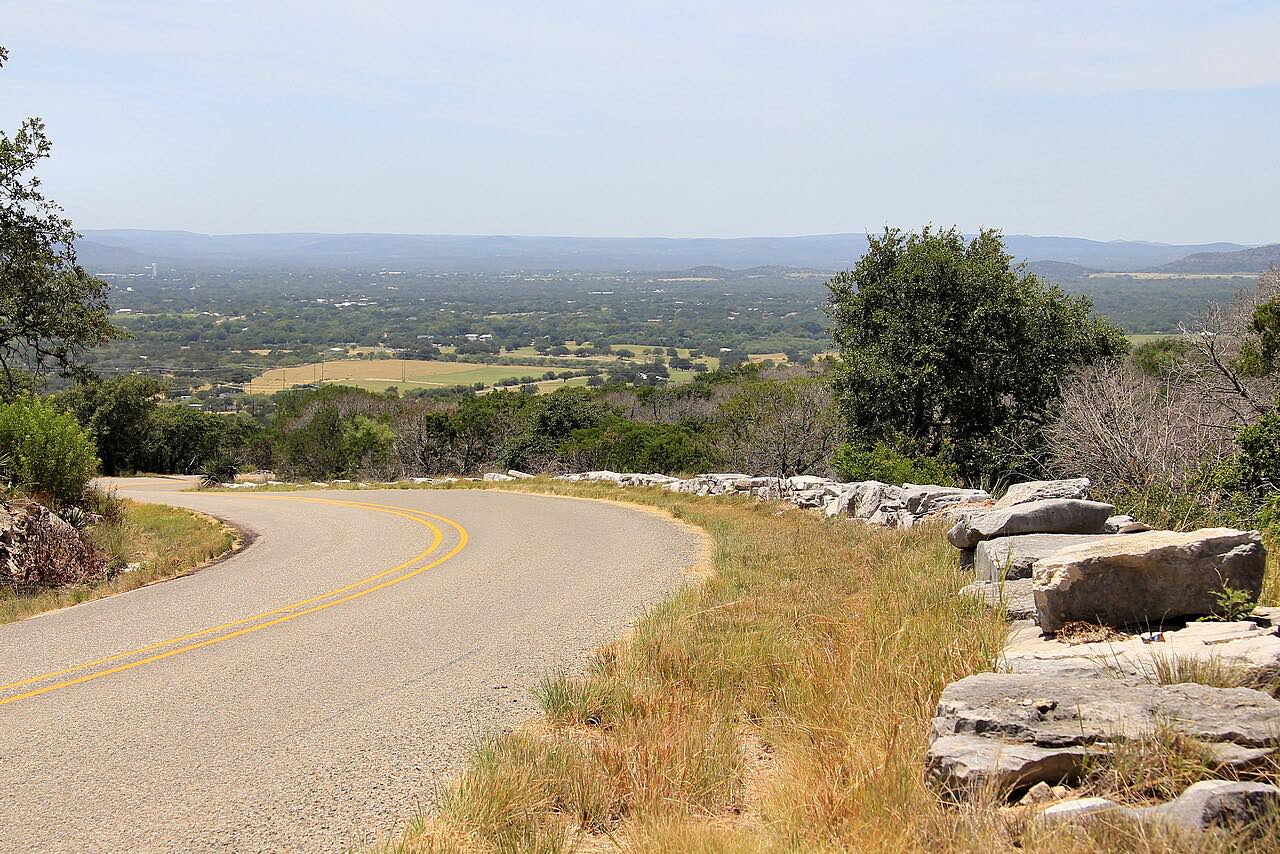
Lime Creek Road is a short, narrow county road in the hills above Lake Travis, running south from the Leander side down to Volente near the lake. It packs a lot into a few miles: tight curves that are blind more often than not, short steep rises and drops, and no shoulders, through rolling cedar and limestone country northwest of Austin.
Those curves are exactly why it has a reputation. The Travis County Sheriff's Office says the road draws people who like to drive fast, and it has seen a long run of crashes. The county has studied traffic on it and found that weekends, Sundays especially, are the busiest, with a good share of drivers well over the limit. The posted limit is 40 mph, and it's best enjoyed at that pace.
Along the way
- Lime Creek Road north
- Volente
Good to know
- The speed limit is 40 mph, and the Sheriff's Office patrols the road for speeding and reckless driving.
- There are no shoulders and many blind curves, so stay well to your side of the line.
- Weekends bring the most traffic, with Sunday the busiest day in the county's counts.
- Travis County has been weighing speed-calming measures here, so new signs or features may appear.
Open all year, weather permitting. Roads close for snow, fire, storms and repairs: before you set off, check TxDOT DriveTexas: road conditions.
Questions about this drive
How long is Lime Creek Road?
The Lime Creek Road drive down to Volente is 6.6 miles and takes about 15 minutes.
What is the speed limit on Lime Creek Road?
Lime Creek Road in Travis County has a posted speed limit of 40 mph, and the Sheriff's Office patrols it.
Why is Lime Creek Road dangerous?
Lime Creek Road has tight, often blind curves, steep short hills and no shoulders, and the Travis County Sheriff's Office says it attracts speeding and street racing, with a long record of crashes.
When is Lime Creek Road busiest?
Travis County's traffic counts on Lime Creek Road found weekends busiest, with Sunday the peak day.
What you get in the app
Free on iPhone and Android. CarPlay and Android Auto come with Apex.
More drives near here



Distance, time, elevation, curves and intensity are from Carve's route. Checked 2026-10-28.