
Drives Queensland, Australia Brisbane, the Gold Coast and the Scenic Rim
Beechmont Road to Binna Burra
Beechmont Road, Binna Burra Road · Advancetown → Binna Burra


The drive
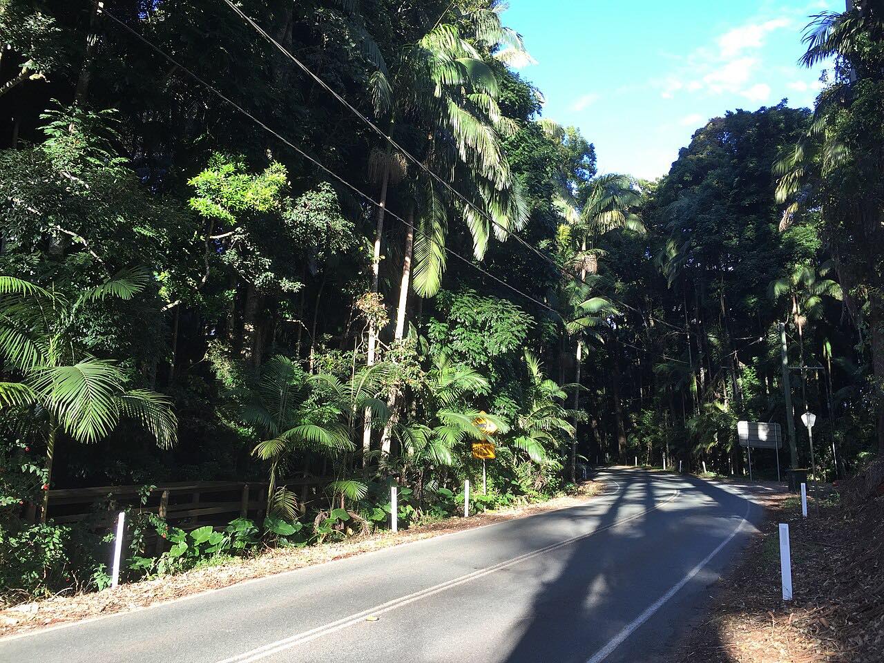
This is the way up to the northern edge of Lamington National Park. The drive starts at Advancetown, beside Advancetown Lake, and follows Beechmont Road up onto the Beechmont Plateau. At the roundabout in Beechmont it turns onto Binna Burra Road, which carries on through the plateau to the park boundary.
It is a climb of 26 km (16 mi) on sealed road, with blind corners as the plateau rises. The last 1.8 km into Binna Burra is the tightest part: Queensland Parks calls it very narrow and winding. Bushfires in 2019 damaged Binna Burra Road, and the repair project was finished in November 2020.
The road ends at Binna Burra, so you return the way you came. The drive stops on Binna Burra Road short of the lodge car park.
Along the way
- Advancetown
- Binna Burra (Binna Burra Road)
Good to know
- The last 1.8 km to Binna Burra is very narrow and winding, so take it slowly and expect to meet oncoming cars on blind bends.
- It is a dead end: there is one road in and out, so the return trip is the same road downhill.
- Queensland Parks lists some Lamington walking tracks as closed for storm damage; the road itself is not on that list.
Open all year, weather permitting. Roads close for snow, fire, storms and repairs: before you set off, check QLDTraffic.
Questions about this drive
How long does Beechmont Road to Binna Burra take?
Advancetown to Binna Burra is 26 km (16 mi) and takes about 30 minutes without stops.
Is the road to Binna Burra sealed?
Yes. Beechmont Road and Binna Burra Road are sealed all the way, though the final 1.8 km is very narrow and winding.
Is Binna Burra Road a dead end?
Yes. Binna Burra Road ends at the edge of Lamington National Park, so you turn around and drive back down through Beechmont.
Where does the Binna Burra drive start?
It starts at Advancetown on the Nerang-Murwillumbah Road, then climbs Beechmont Road to the plateau.
What you get in the app
Free on iPhone and Android. CarPlay and Android Auto come with Apex.
More drives near here
 Nerang-Murwillumbah RoadSweeping · Nerang - Murwillumbah Road, Nerang-Murwillumbah Road · 39 mi
 Gold Coast-Springbrook RoadIntense · Gold Coast Springbrook Road, Springbrook Road · 15.6 mi
 O'Reilly's RoadIntense · Lamington National Park Road · 18.9 mi
 Tamborine Mountain RoadTwisty · Tamborine Mountain Road, MacDonnell Road · 12.1 mi
Distance, time, elevation, curves and intensity are from Carve's route. Checked 2026-10-28.