
Drives New Mexico Santa Fe, Taos and Northern New Mexico
Turquoise Trail
NM 14 · Tijeras → Santa Fe

The drive
The Turquoise Trail, NM 14, is a National Scenic Byway named for the rich turquoise deposits in the area. The byway page calls it 52 miles, and the Turquoise Trail association says about 50. It takes only a bit longer to drive than the Interstate most travelers take between Albuquerque and Santa Fe.
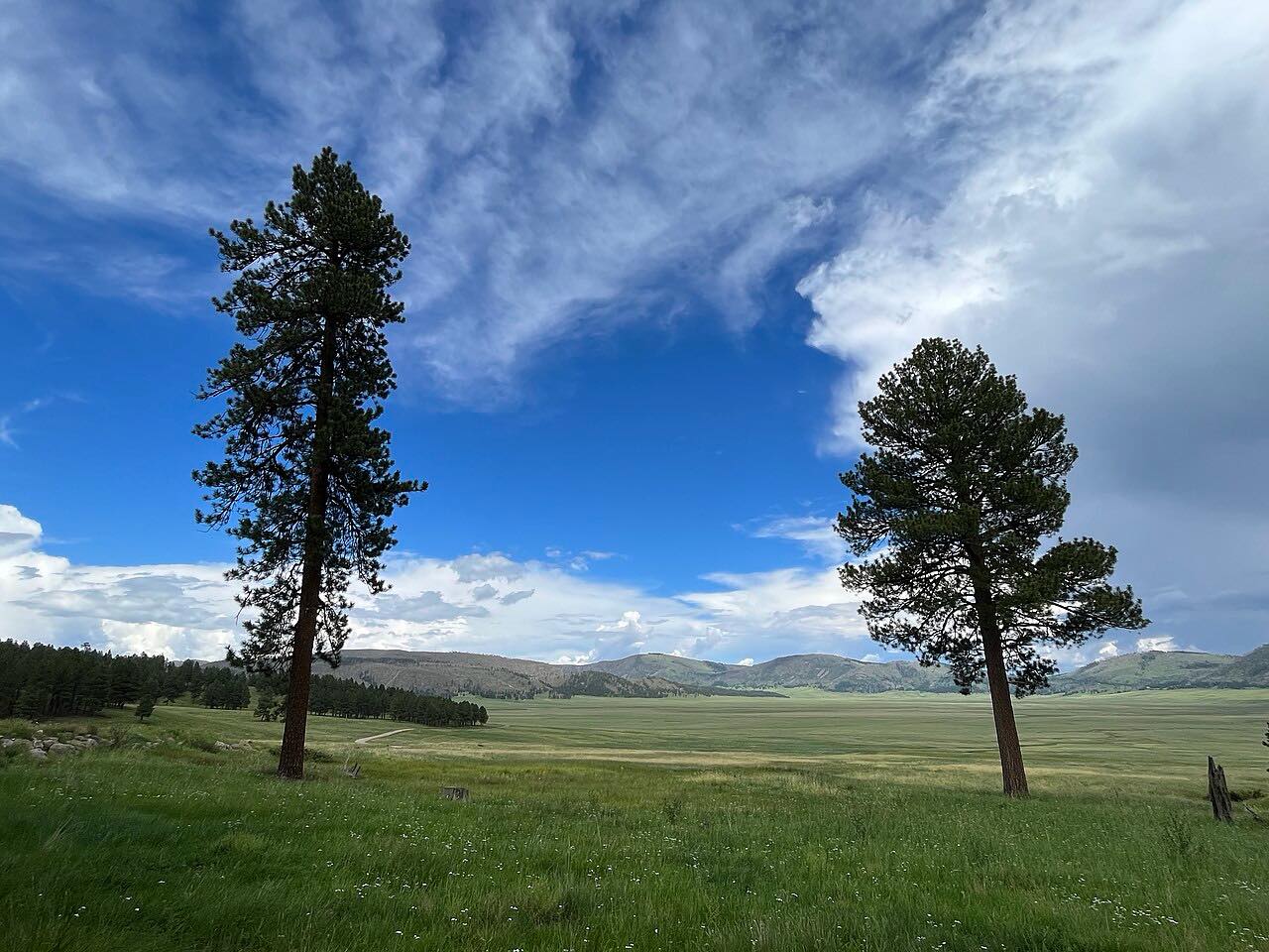
The road passes wild rock outcroppings and piñon and juniper-dotted hills. Golden, Madrid and Cerrillos are old mining towns now coming alive with art, crafts, theater, music, museums and restaurants. This drive runs north from Tijeras to just short of I-25 at Santa Fe.
Along the way
- Tijeras (I-40)
- Golden
- Madrid
- Santa Fe (I-25)
Good to know
- The Turquoise Trail association has posted a construction alert for NM 14; check it and NMRoads before you go.
- The byway page says the drive takes only a bit longer than the Interstate most travelers take.
Open all year, weather permitting. Roads close for snow, fire, storms and repairs: before you set off, check NMRoads (NMDOT road conditions).
Questions about this drive
How long does the Turquoise Trail take?
The Turquoise Trail (NM 14) from Tijeras to Santa Fe is 44.6 miles on this route and takes about 55 min without stops.
Which towns are on the Turquoise Trail?
NM 14 passes the old mining towns of Golden, Madrid and Cerrillos.
Where does Turquoise Trail start and end?
This drive starts at Tijeras (I-40) and ends at Santa Fe (I-25), 44.6 miles in all.
What you get in the app
Free on iPhone and Android. CarPlay and Android Auto come with Apex.
More drives near here




Distance, time, elevation, curves and intensity are from Carve's route. Checked 2026-10-28.