Drives New Mexico Santa Fe, Taos and Northern New Mexico
Jemez Mountain Trail
NM 4 · San Ysidro → White Rock

The drive
NM 4 forms the main artery of the Jemez Mountain Trail National Scenic Byway. From San Ysidro the road slowly winds past Jemez Pueblo and through Jemez Springs, then climbs steeply into the Jemez Mountains and Santa Fe National Forest. Soda Dam is a domed formation of mineral deposits that looks like a waterfall frozen in stone.
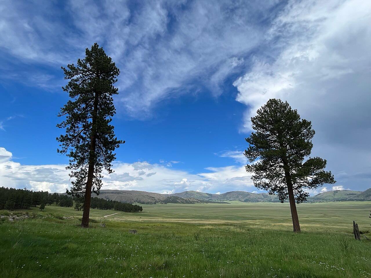
The highway skirts the southern boundary of Valles Caldera National Preserve, a broad expanse of mountain meadow and forest. On the east side it descends on a series of hairpin turns with views into Frijoles Canyon in Bandelier National Monument, then passes the main Bandelier entrance and ends at White Rock.
Along the way
- San Ysidro (US-550)
- Jemez Pueblo
- Jemez Springs
- Valle Grande
- Bandelier
- White Rock
Good to know
- In winter NM 4 can be snow-packed and icy for days or even weeks at a time, according to the National Park Service.
- The section near Valles Caldera known as the Chute is notorious for blowing snow, ice sheets and drifts.
- Prescribed burn piles may produce smoke visible from NM 4 during winter.
Open all year, weather permitting. Roads close for snow, fire, storms and repairs: before you set off, check Valles Caldera National Preserve: conditions.
Questions about this drive
How long does the Jemez Mountain Trail take?
NM 4 from San Ysidro to White Rock is 62.3 miles and takes about 1 hr 40 min without stops.
Is the Jemez Mountain Trail open in winter?
The road stays open, but the National Park Service says NM 4 can be snow-packed and icy for days or weeks. Check conditions before you go.
Does the Jemez Mountain Trail pass Bandelier?
Yes. NM 4 descends with views into Frijoles Canyon in Bandelier National Monument and passes the park's main entrance before reaching White Rock.
What you get in the app
Free on iPhone and Android. CarPlay and Android Auto come with Apex.
More drives near here


Distance, time, elevation, curves and intensity are from Carve's route. Checked 2026-10-28.