
Drives New Mexico Southern New Mexico
Highway 337: Tijeras to Highway 55
NM 337 · Tijeras → NM-55 junction near Tajique

The drive
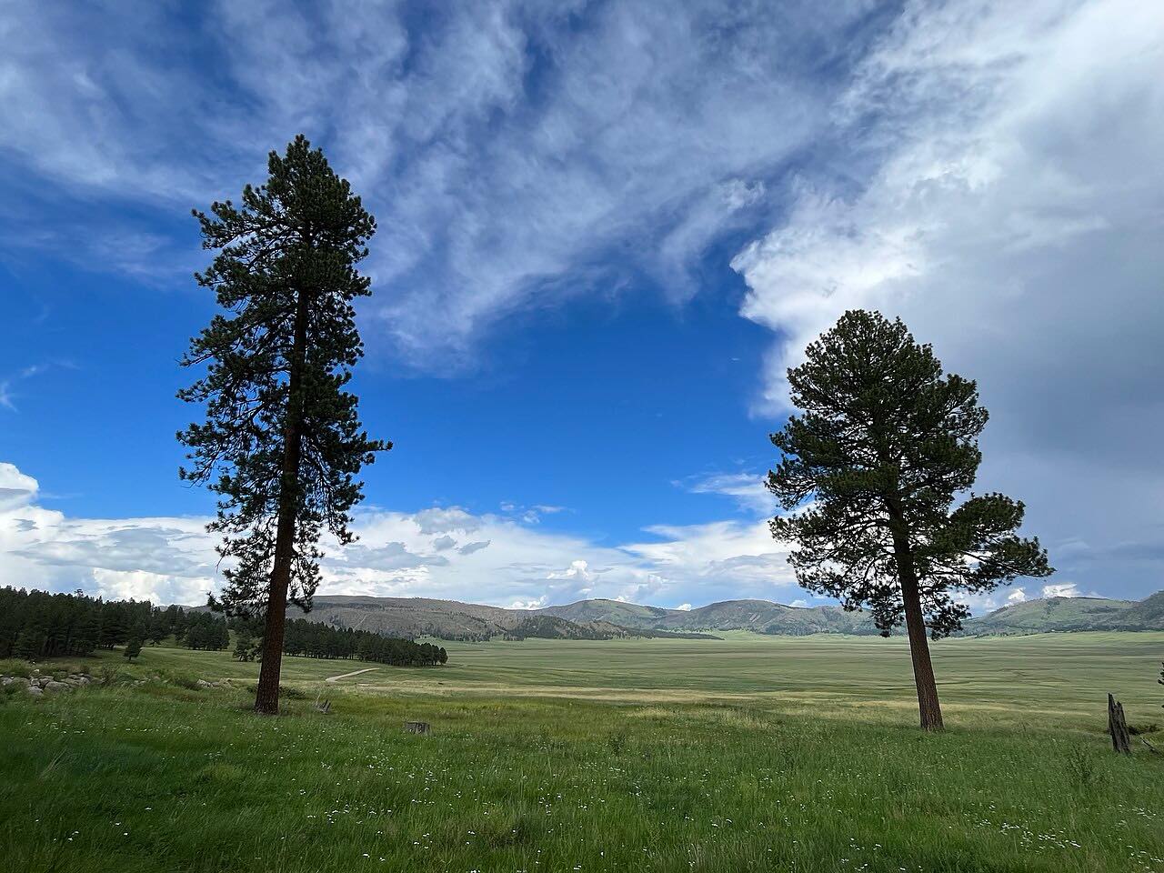
Highway 337 runs south from Tijeras, on the Albuquerque side of the Sandia and Manzano Mountains, along the east side of the Manzanos to a junction with NM 55 near Tajique. It rolls through juniper and pine in Cibola National Forest country, with one tighter stretch and otherwise easy bends.
The Cibola National Forest headquarters is a mile south of Tijeras on the highway. Farther on, the road passes forest trailheads, including a big pull-off at the Otero Trailhead, and Canon Tajique, where Rocky Mountain maples color in the fall. The villages of Chilili and Escabosa are along the way, and little else is on the road.
The drive ends at NM 55 near Tajique.
Along the way
- Tijeras (NM-337)
- NM-55 junction near Tajique
Good to know
- Forest trailheads line the road, including a large pull-off at the Otero Trailhead, so expect parked cars and hikers at turnouts.
- Winter snow and ice are possible at this elevation; check conditions in the cold months.
- Motorcyclists ride this road; give them room on the bends.
Open all year, weather permitting. Roads close for snow, fire, storms and repairs: before you set off, check NMDOT NMRoads.
Questions about this drive
How long does Highway 337 from Tijeras to Highway 55 take?
Highway 337 from Tijeras to NM 55 is 28.7 miles and takes about 35 minutes.
Where does NM 337 start?
NM 337 starts in Tijeras, near I-40 on the east side of Albuquerque, and runs south along the Manzano Mountains to NM 55 near Tajique.
When do the maples turn on NM 337?
The maples around Canon Tajique, near NM 337, turn crimson in the fall.
What you get in the app
Free on iPhone and Android. CarPlay and Android Auto come with Apex.
More drives near here




Distance, time, elevation, curves and intensity are from Carve's route. Checked 2026-10-28.