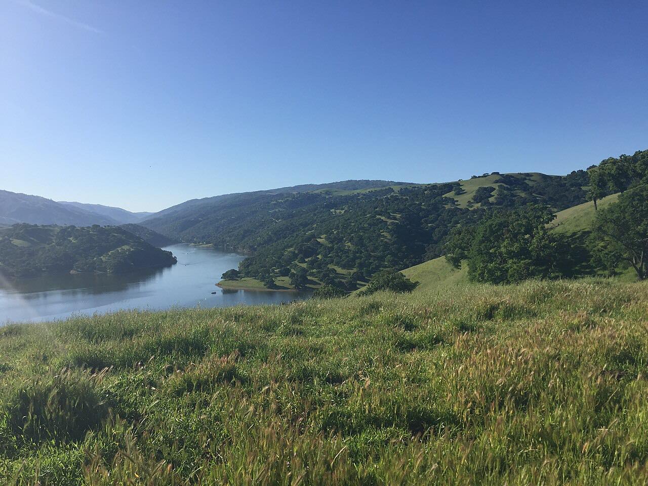

The drive
Mines Road leaves Livermore's wine country at Tesla Road and heads south into the empty middle of the Diablo Range. It follows Arroyo Mocho, the creek it crosses again and again, up a canyon of open grassland, oaks and rock, on the line of an 1840s cattle trail called La Vereda del Monte. The modern road took shape in the early 1900s, when magnesite mining opened up San Antonio Valley.
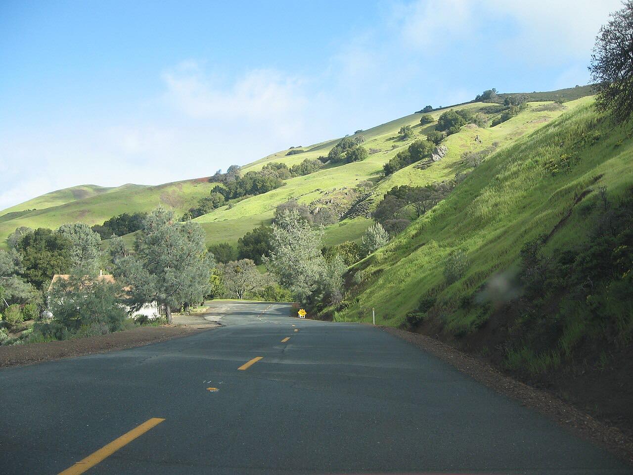
Farther south the road narrows, and for long stretches it's a single lane with no center line, climbing through Blackbird Valley before widening again near Mud Springs. It crosses into Santa Clara County and ends at The Junction in San Antonio Valley, more than 30 miles from Livermore by road, where San Antonio Valley Road leads west over Mount Hamilton and Del Puerto Canyon Road drops east to Patterson.
It's driven south from Livermore, the way nearly everyone starts it; The Junction is the turnaround or the link to the other two roads.
Along the way
- Livermore (Tesla Road)
- The Junction (San Antonio Valley Road)
Good to know
- There are no services on Mines Road or at The Junction: fill up in Livermore.
- Long stretches are one lane, with blind bends and oncoming traffic; keep right and slow down.
- Wildfire has burned near The Junction before; check for closures before you go.
Open all year, weather permitting. Roads close for snow, fire, storms and repairs: before you set off, check Alameda County Public Works: road closures.
Questions about this drive
How long does Mines Road take?
Mines Road from Tesla Road in Livermore to The Junction in San Antonio Valley is 27.3 miles and takes about 55 minutes without stops.
Is Mines Road one lane?
In places, yes. Mines Road narrows to a single lane without a center line for long stretches, and it often fords Arroyo Mocho, so expect to pull over for oncoming cars.
Is there gas on Mines Road?
No. There's no fuel on Mines Road or at The Junction, so fill up in Livermore.
Where can you go from the end of Mines Road?
At The Junction, Mines Road meets San Antonio Valley Road, which climbs west over Mount Hamilton to San Jose, and Del Puerto Canyon Road, which drops east to Patterson.
What you get in the app
Free on iPhone and Android. CarPlay and Android Auto come with Apex.
More drives near here




Distance, time, elevation, curves and intensity are from Carve's route. Checked 2026-10-28.