

The drive
Calaveras Road is the back way between Milpitas and Sunol, and it gets rural fast. From Piedmont Road on the edge of Milpitas it climbs straight up the hills, through Ed R. Levin County Park and a run of tight hairpins and blind corners, until the houses are gone and the road tops out above the valley.
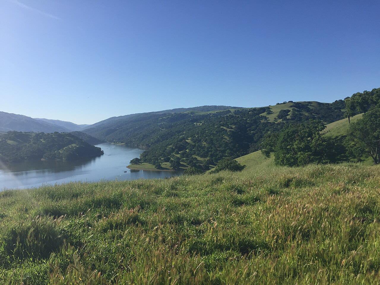
Then it settles into the Calaveras Valley and follows Calaveras Reservoir north. This is the largest of San Francisco's five Bay Area reservoirs, held back by a replacement dam finished in 2019, and the land around it is closed watershed: grass, oaks, chaparral and grazing cattle, with no towns at all. A pair of bald eagles has nested at the reservoir for years. The road stays narrow and winding through the oak hills and ends at Highway 84 by Sunol, close to I-680.
It's driven north from Milpitas, so the steepest, tightest climbing comes first and the reservoir stretch is the easy finish.
Along the way
- Milpitas (Piedmont Road)
- Calaveras Reservoir
- Sunol (Highway 84)
Good to know
- Expect a lot of cyclists, and narrow lanes with no center line and blind turns where you'll meet them.
- There's little room to pass and few places to pull over; settle in behind slower traffic.
- The road can be dirty after rain, with gravel and debris in the bends.
- Winter storms have closed it for months before, so check the county's closure list after heavy rain.
Open all year, weather permitting. Roads close for snow, fire, storms and repairs: before you set off, check Santa Clara County Roads: closures and outages.
Questions about this drive
How long does Calaveras Road take from Milpitas to Sunol?
Calaveras Road from Piedmont Road in Milpitas to Highway 84 at Sunol is 15 miles and takes about 35 minutes without stops.
How twisty is Calaveras Road?
Very. Calaveras Road is twisty for most of its first 10 miles, with tight hairpins and blind corners on the climb out of Milpitas, then easier winding bends along the reservoir.
Can you stop at Calaveras Reservoir?
Calaveras Reservoir is San Francisco watershed land, and most of it is closed to the public, so you see it from Calaveras Road rather than visit it.
Is Calaveras Road popular with cyclists?
Yes. Calaveras Road is a classic South Bay bike ride, and on weekends you'll share its narrow lanes with many riders.
What you get in the app
Free on iPhone and Android. CarPlay and Android Auto come with Apex.
More drives near here



Distance, time, elevation, curves and intensity are from Carve's route. Checked 2026-10-28.