
Drives California The Bay Area
Redwood Road and Pinehurst Road
Redwood Road, Pinehurst Road · Castro Valley → Oakland

The drive
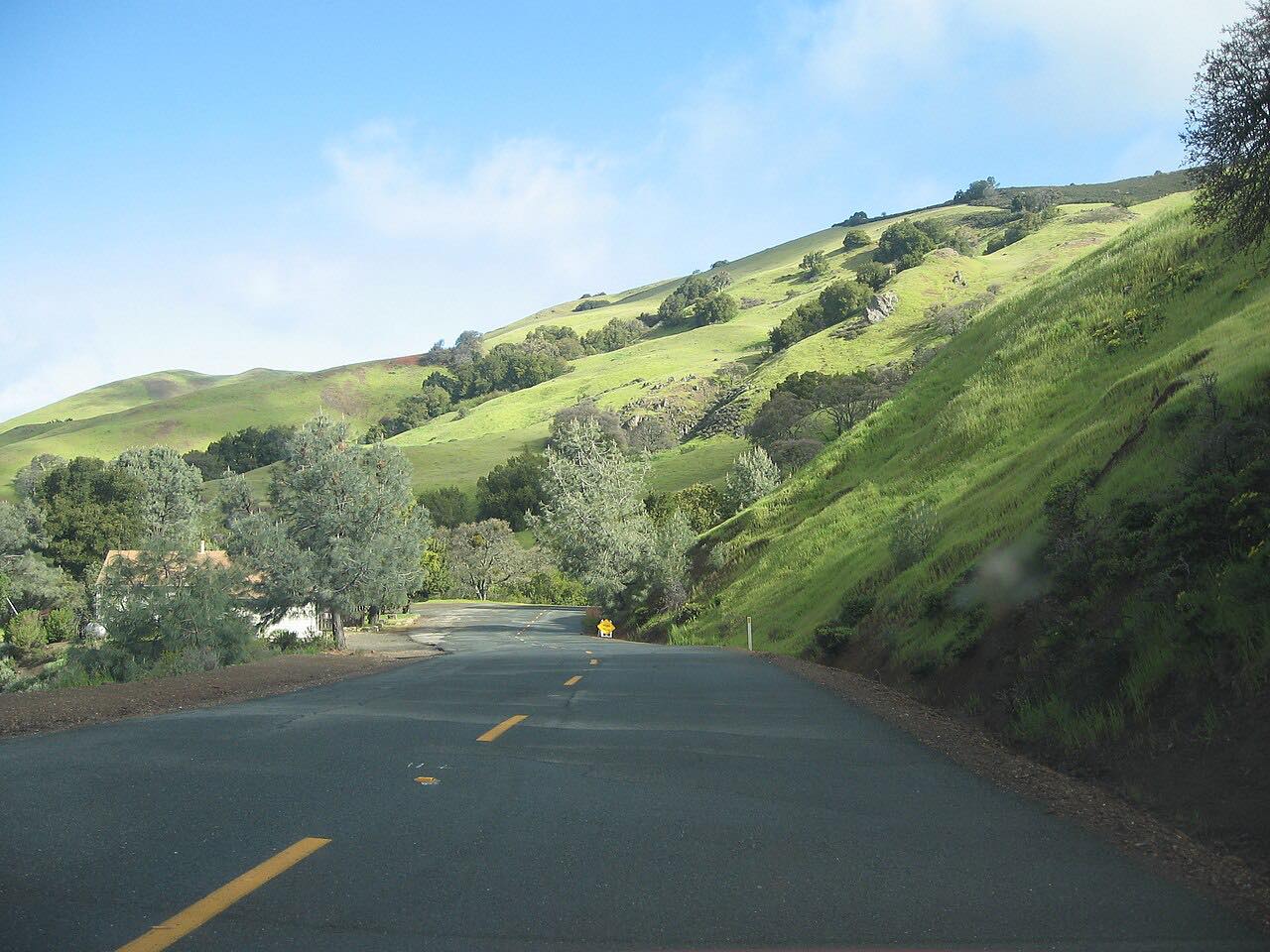
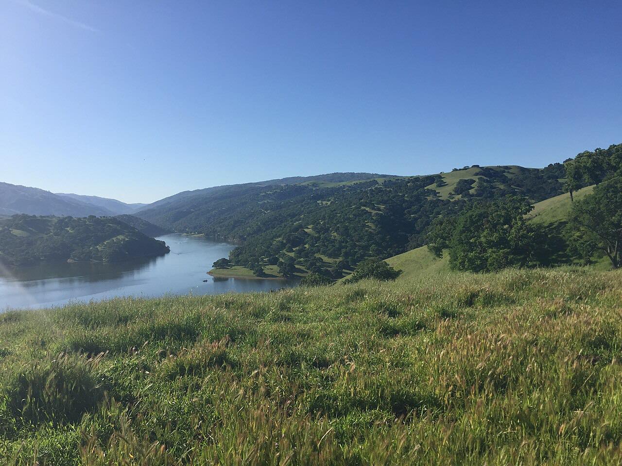
This is the classic run through the East Bay hills, and it feels a long way from the cities on either side. Redwood Road leaves the north edge of Castro Valley and winds north through grassy, oak-covered hills past Anthony Chabot Regional Park, on the watershed lands around Upper San Leandro Reservoir.
Then the drive turns onto Pinehurst Road, which runs along the upper reservoir and into Canyon, a tiny community of about 200 people tucked into the upper canyon of San Leandro Creek. It was a rowdy logging camp in the 1800s; now its homes sit off narrow lanes among redwood groves and ferns. Past Canyon, Pinehurst climbs out of the shade through oak, bay and madrone, with a hairpin on the way, to the ridge at Skyline Boulevard above Oakland.
It's driven north from Castro Valley and finishes with the climb up Pinehurst to Skyline.
Along the way
- Castro Valley (Redwood Road)
- Canyon
- Oakland (Skyline Boulevard)
Good to know
- Pinehurst Road is narrow and shaded, with tight bends; expect cyclists.
- A stretch of Pinehurst north of Canyon Road has been down to one lane after an embankment failure, awaiting repair.
- Both roads have had storm damage and closures in wet winters; check the county notices after heavy rain.
Open all year, weather permitting. Roads close for snow, fire, storms and repairs: before you set off, check Contra Costa County Public Works news.
Questions about this drive
How long is the drive on Redwood Road and Pinehurst Road?
Redwood Road from Castro Valley and Pinehurst Road through Canyon to Skyline Boulevard is 14.3 miles and takes about 35 minutes without stops.
Is Pinehurst Road open?
Usually, but Contra Costa County closes Pinehurst Road for repairs from time to time, including weekday daytime closures between Canyon Road and Skyline Boulevard; check the county's public works news before you go.
How twisty are Redwood Road and Pinehurst Road?
Very. Redwood Road and Pinehurst Road are twisty for most of the drive, with the tightest, narrowest bends on Pinehurst through Canyon.
Where is Canyon, California?
Canyon is a small community on Pinehurst Road between Oakland and Moraga, in the redwoods of the upper San Leandro Creek canyon.
What you get in the app
Free on iPhone and Android. CarPlay and Android Auto come with Apex.
More drives near here



Distance, time, elevation, curves and intensity are from Carve's route. Checked 2026-10-28.