Drives Texas Austin, San Antonio and the Hill Country
Park Road 4: Longhorn Cavern
Park Road 4 · US-281 → TX-29

The drive
Park Road 4 is a historic park road in western Burnet County, built by the Civilian Conservation Corps in the mid-1930s to bring visitors to Longhorn Cavern and extended west by the WPA around 1942 to serve Inks Lake State Park. Its stone bridges, retaining walls, guard walls and overlooks are still there, and the road and Longhorn Cavern State Park are listed together on the National Register of Historic Places.
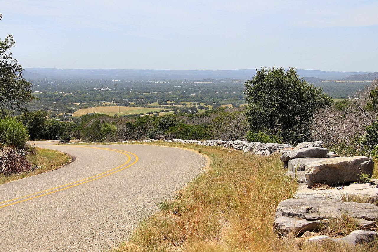
The drive runs west from US 281 south of Burnet. It passes through Longhorn Cavern State Park first, where the cave is seen on guided tours, then winds over granite and cedar hills and drops about 400 feet into Hoover's Valley. It crosses RM 2342 and runs through Inks Lake State Park along the lake before ending at Highway 29 near Buchanan Dam.
Along the way
- US-281
- Longhorn Cavern
- TX-29
Good to know
- It's a park road: keep to the limit and expect visitors pulling in and out of both parks.
- Longhorn Cavern's grounds are free; the cave is seen only on paid guided tours.
- Inks Lake State Park charges a day-use fee if you stop, often fills up, and recommends reserving day passes ahead.
- Both parks have posted alerts from time to time, so check before a visit.
Open all year, weather permitting. Roads close for snow, fire, storms and repairs: before you set off, check Texas Parks and Wildlife: Inks Lake State Park.
Questions about this drive
How long is Park Road 4?
The Park Road 4 drive from US 281 to Highway 29 near Buchanan Dam is 15.3 miles and takes about 20 minutes without stops.
Who built Park Road 4?
The Civilian Conservation Corps built the first miles of Park Road 4 in the mid-1930s to reach Longhorn Cavern, and the WPA finished the western part around 1942.
Is there a fee to drive Park Road 4?
Longhorn Cavern State Park's grounds on Park Road 4 are free; cavern tours cost extra, and Inks Lake State Park charges a day-use fee if you stop there.
Which parks does Park Road 4 pass through?
Park Road 4 passes through Longhorn Cavern State Park and Inks Lake State Park between US 281 and Highway 29.
What you get in the app
Free on iPhone and Android. CarPlay and Android Auto come with Apex.
More drives near here


Distance, time, elevation, curves and intensity are from Carve's route. Checked 2026-10-28.