Drives Kentucky Nashville, Kentucky and the Cumberlands
Highway 90: Cumberland Falls
KY 90 · Highway 25W → Parkers Lake

The drive
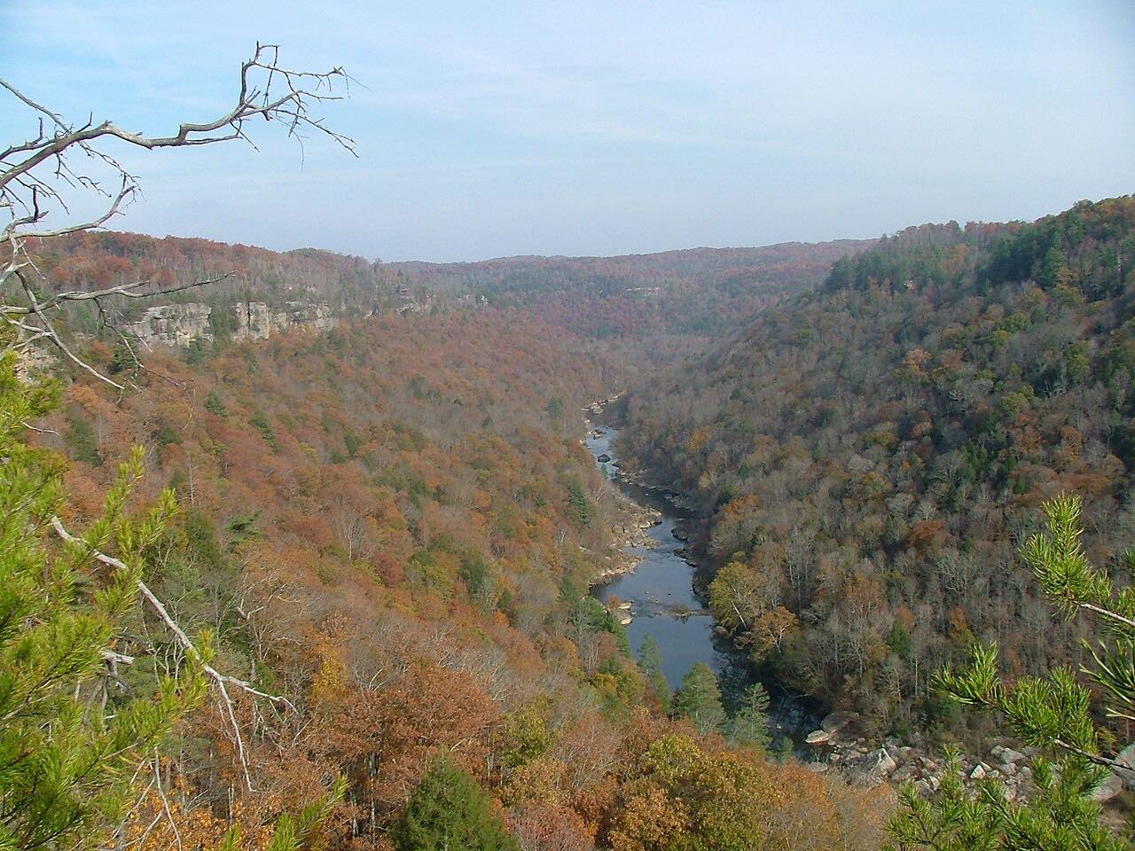
Highway 90 runs 17 miles through the Daniel Boone National Forest to Cumberland Falls, then on to US 27 at Parkers Lake. It starts at US 25W south of Corbin and winds through wooded country, dropping toward the Cumberland River and climbing out again. Two stretches are twisty; the rest is moderate.
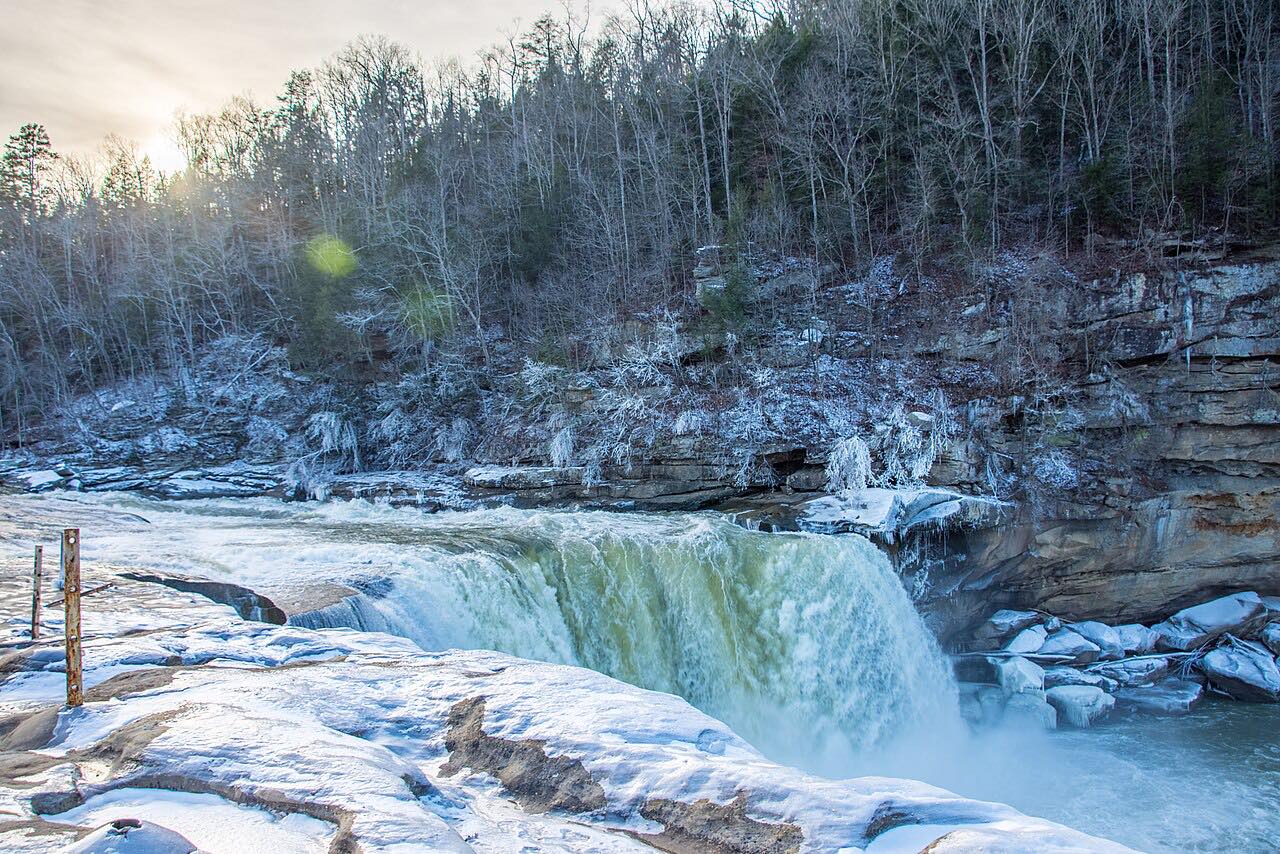
The falls are the reason to come. Cumberland Falls sits on the Cumberland River on the McCreary and Whitley county line, about 68 feet high and 125 feet wide, and it's the central feature of Cumberland Falls State Resort Park. It's also known for the moonbow, a rainbow made by moonlight that can form in the mist on clear nights near a full moon. Highway 90 is the main road into the park, and it crosses the river just upstream of the falls.
Along the way
- Highway 25W
- Cumberland Falls
- Parkers Lake (US 27)
Good to know
- Cumberland Falls State Resort Park is on this road, and Highway 90 is the main road into it.
- The moonbow only shows on clear nights around a full moon, and the water level affects it.
Open all year, weather permitting. Roads close for snow, fire, storms and repairs: before you set off, check Kentucky State Parks: Cumberland Falls.
Questions about this drive
How long does the Highway 90 Cumberland Falls drive take?
Highway 90 from US 25W to Parkers Lake at US 27 is 17.2 miles and takes about 30 minutes without stops.
What is the moonbow at Cumberland Falls?
It's a lunar rainbow that can appear in the mist at Cumberland Falls during or near a full moon on a clear night. Visibility depends on the water level.
Is Highway 90 to Cumberland Falls twisty?
It's mostly moderate curves with two twisty stretches, through the Daniel Boone National Forest.
What you get in the app
Free on iPhone and Android. CarPlay and Android Auto come with Apex.
More drives near here

Distance, time, elevation, curves and intensity are from Carve's route. Checked 2026-10-28.