Drives Tennessee Knoxville, Chattanooga and East Tennessee
Leatherwood Ford Road: Highway 297
TN 297 · Oneida → West rim

The drive
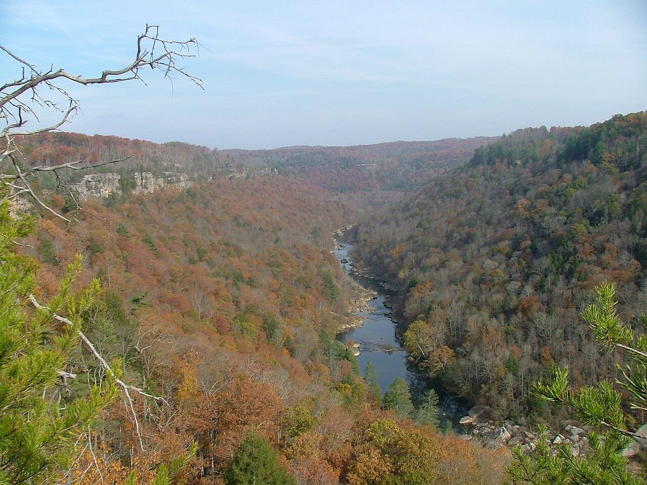
TN 297 runs west from Oneida, where it leaves US 27, across the plateau and into the Big South Fork gorge. Within Scott State Forest and the Big South Fork National River and Recreation Area it is known as Leatherwood Ford Road, the primary road in and out of the area.
The road gets curvy as it descends through the state forest, then crosses the Big South Fork of the Cumberland River on a bridge about 11 miles from the western end of the road. It climbs the far wall and ends on the west rim.
The drive is 16.9 miles and about 25 minutes, with mostly moderate curves and two twisty stretches.
Along the way
- Oneida (US 27)
- Leatherwood Ford
- West rim
Good to know
- Check the Big South Fork conditions page for alerts or closures before you go.
Open all year, weather permitting. Roads close for snow, fire, storms and repairs: before you set off, check Big South Fork National River and Recreation Area: conditions.
Questions about this drive
How long does Leatherwood Ford Road take to drive?
Oneida to the west rim on TN 297 is 16.9 miles and takes about 25 minutes.
Where does TN 297 cross the Big South Fork?
It crosses the Big South Fork of the Cumberland River on a bridge at Leatherwood Ford, in the gorge.
Is there a closure on TN 297 at Big South Fork?
Closures can come up, so check the park's conditions page before you go.
What you get in the app
Free on iPhone and Android. CarPlay and Android Auto come with Apex.
More drives near here

Distance, time, elevation, curves and intensity are from Carve's route. Checked 2026-10-28.