Drives Tennessee Knoxville, Chattanooga and East Tennessee
The Devil's Triangle: Highway 116
TN 116, Briceville Highway, New River Highway · Rocky Top → Petros

The drive
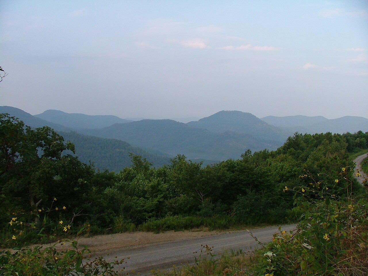
TN 116 runs from Rocky Top northeast through Briceville and along New River to Petros, where it passes the Brushy Mountain State Penitentiary. It is the western side of the Devil's Triangle.
Briceville is near Fraterville, where an 1902 mine explosion happened. Along New River the road runs beside a former rail line and many abandoned coal mines and tipples.
It is 32.1 miles and about 1 hr 5 min, rated Intense: twisty most of the way, with steep grades.
Along the way
- Rocky Top (US 25W)
- New River
- Petros
Good to know
- Wikipedia notes TN 116 has a high crash rate, with narrow shoulders, numerous curves, unstable slopes, rockfall hazards and a lack of guardrails; TDOT announced improvements in 2013.
- Rock and debris on the pavement are a hazard, and rockfall is a known problem on this road.
Open all year, weather permitting. Roads close for snow, fire, storms and repairs: before you set off, check TDOT SmartWay: Tennessee road conditions.
Questions about this drive
How twisty is Highway 116 in Tennessee?
The Devil's Triangle drive on TN 116 is rated Intense: twisty most of the way, with steep grades, over 32.1 miles.
How long does TN 116 from Rocky Top to Petros take?
It is 32.1 miles and about 1 hr 5 min.
Is Highway 116 dangerous?
It has had a high crash rate, with narrow shoulders, curves, unstable slopes and rockfall hazards, so slow down and drive it carefully.
What you get in the app
Free on iPhone and Android. CarPlay and Android Auto come with Apex.
More drives near here


Distance, time, elevation, curves and intensity are from Carve's route. Checked 2026-10-28.