
Drives North Carolina The Carolina Piedmont and Coast
Highway 12: Nags Head to Hatteras
NC 12, Cape Hatteras National Park Road · Whalebone Junction → Hatteras village


The drive
NC 12 starts at Whalebone Junction in Nags Head, where US 64 meets the Outer Banks, and runs south across Cape Hatteras National Seashore and Pea Island National Wildlife Refuge. Except for a 4-mile stretch near Whalebone Junction, it crosses park land the whole way.
Along the way are Bodie Island Lighthouse, the Jug Handle Bridge at Rodanthe and Cape Hatteras Lighthouse at Buxton. The drive ends in Hatteras village, 57.2 miles from the start. It takes about 1 hr 25 min, a leisurely drive. The ferry to Ocracoke leaves from Hatteras village and is not part of this drive.
Along the way
- Whalebone Junction (Nags Head)
- Bodie Island Lighthouse
- Rodanthe (Jug Handle Bridge)
- Cape Hatteras Lighthouse (Buxton)
- Hatteras village
Good to know
- Ocean overwash closes NC 12 at times. The National Park Service names the Canal Zone, the Pea Island Visitor Center and northern Ocracoke as the weak spots.
- NCDOT maintains the highway, so DriveNC is the place to check before you set out.
- The Hatteras Inlet ferry from Hatteras village to Ocracoke takes about 70 minutes, and the Park Service says reservations are not required.
Open all year, weather permitting. Roads close for snow, fire, storms and repairs: before you set off, check NCDOT DriveNC: traffic and road conditions.
Questions about this drive
How long does NC 12 from Nags Head to Hatteras take?
NC 12 from Whalebone Junction to Hatteras village is 57.2 miles and takes about 1 hr 25 min.
Does NC 12 close in storms?
Yes. Ocean overwash can leave deep water on NC 12 or damage the road, and the National Park Service names the Canal Zone and the Pea Island Visitor Center as common trouble spots.
Is there a ferry at the end of NC 12 at Hatteras?
Yes. The Hatteras Inlet ferry runs from Hatteras village to Ocracoke in about 70 minutes, and the Park Service says no reservation is required.
What you get in the app
Free on iPhone and Android. CarPlay and Android Auto come with Apex.
More drives near here
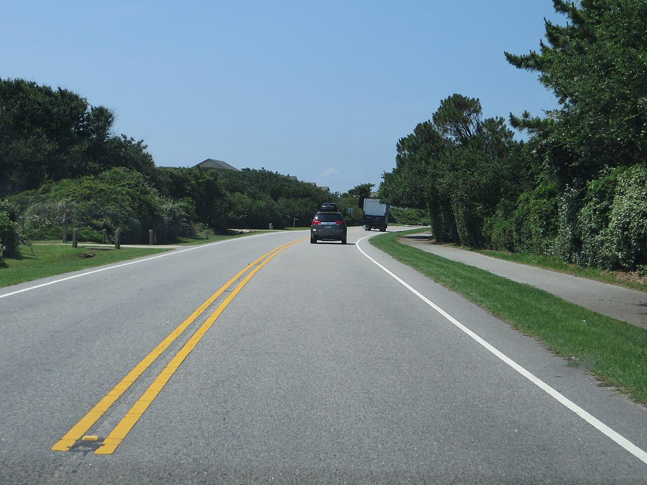 Highway 12: Duck to CorollaLeisurely · NC 12, Duck Road · 15.6 mi
 US 70: Beaufort to Cedar IslandLeisurely · US 70, NC 12 · 31 mi
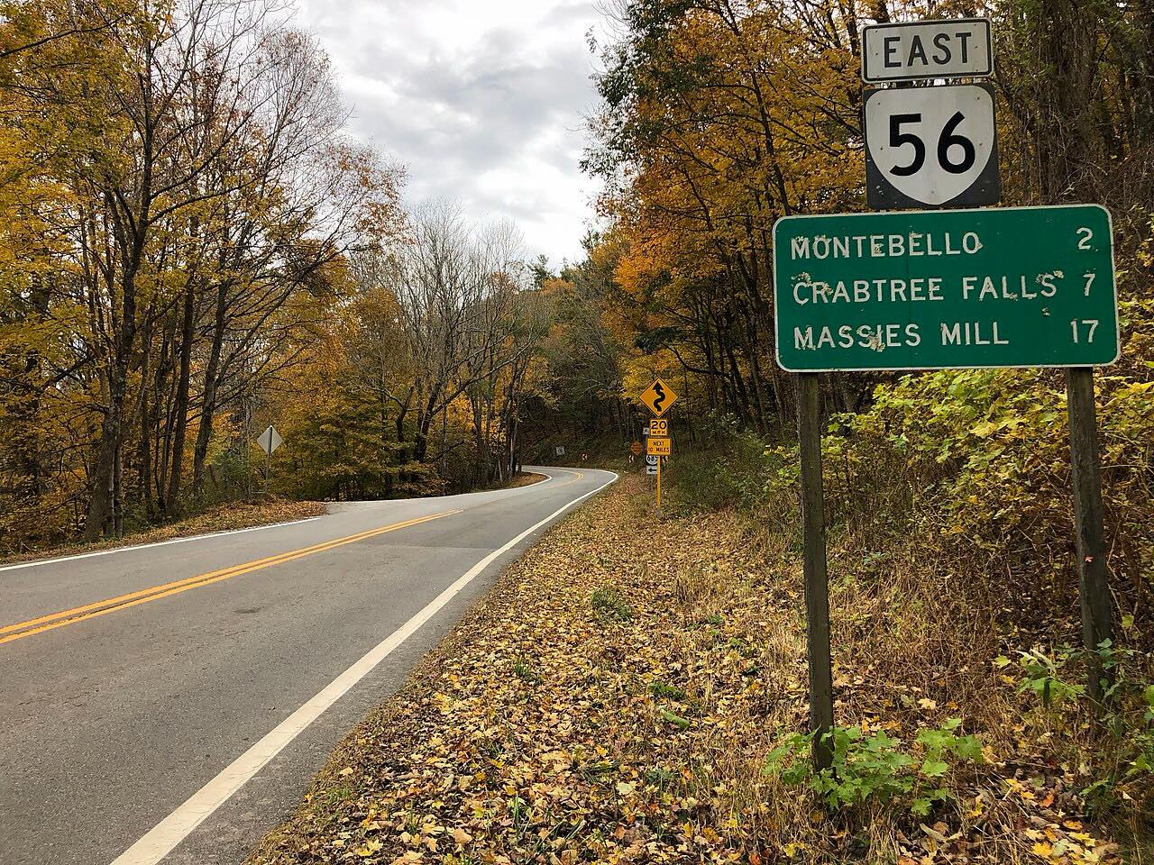 Crabtree Falls Highway: Highway 56Twisty · Crabtree Falls Highway, Tye River Turnpike · 21 mi
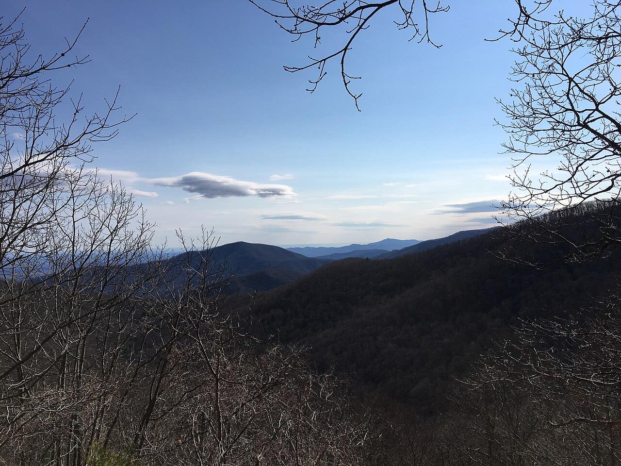 Blue Ridge Parkway: Rockfish Gap to Otter CreekSweeping · Blue Ridge Parkway · 62 mi
Distance, time, elevation, curves and intensity are from Carve's route. Checked 2026-10-28.