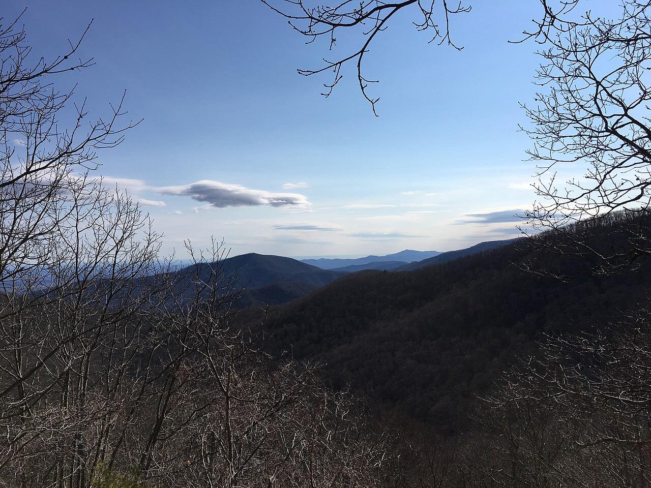
Drives Virginia Shenandoah and the Virginia Blue Ridge
Blue Ridge Parkway: Rockfish Gap to Otter Creek
Blue Ridge Parkway · Rockfish Gap → Otter Creek


The drive
The Blue Ridge Parkway begins at Rockfish Gap, milepost 0, near Waynesboro, where it meets the south end of Skyline Drive. This drive follows the first 61.8 miles south in about 2 hr 10 min, with mostly moderate curves and two twisty stretches.
Early on, the Humpback Rocks area (miles 5 to 9.3) has a self-guiding trail through old Appalachian farm buildings and a hike up to The Rocks. The drive ends near Otter Creek, just before the James River bridge, which is closed for rehabilitation.
Along the way
- Rockfish Gap (US-250)
- Parkway
- Otter Creek
Good to know
- The Parkway has no fee, and its speed limit is never higher than 45 mph.
- The James River bridge at MP 63.5 to 63.9 is closed for rehabilitation, with detour signs in place from MP 61.4 to 64; this drive ends before it.
- The Otter Creek Restaurant at MP 60.8 is closed.
- Commercial vehicles are prohibited on the Parkway unless approved by the Park Service.
Open all year, weather permitting. Roads close for snow, fire, storms and repairs: before you set off, check Blue Ridge Parkway: road status and closures.
Questions about this drive
Is there a fee to drive the Blue Ridge Parkway from Rockfish Gap?
No. The Blue Ridge Parkway has no fee to drive.
How long does the Blue Ridge Parkway from Rockfish Gap to Otter Creek take?
The 61.8 miles from Rockfish Gap to Otter Creek take about 2 hr 10 min.
Is the Blue Ridge Parkway closed near the James River?
Yes. The James River bridge at MP 63.5 to 63.9 is closed for rehabilitation, with detour signs from MP 61.4 to 64. The Rockfish Gap to Otter Creek drive ends before it.
Where does the Blue Ridge Parkway start?
The Blue Ridge Parkway starts at Rockfish Gap near Waynesboro, Virginia, where it connects to Skyline Drive.
What you get in the app
Free on iPhone and Android. CarPlay and Android Auto come with Apex.
More drives near here
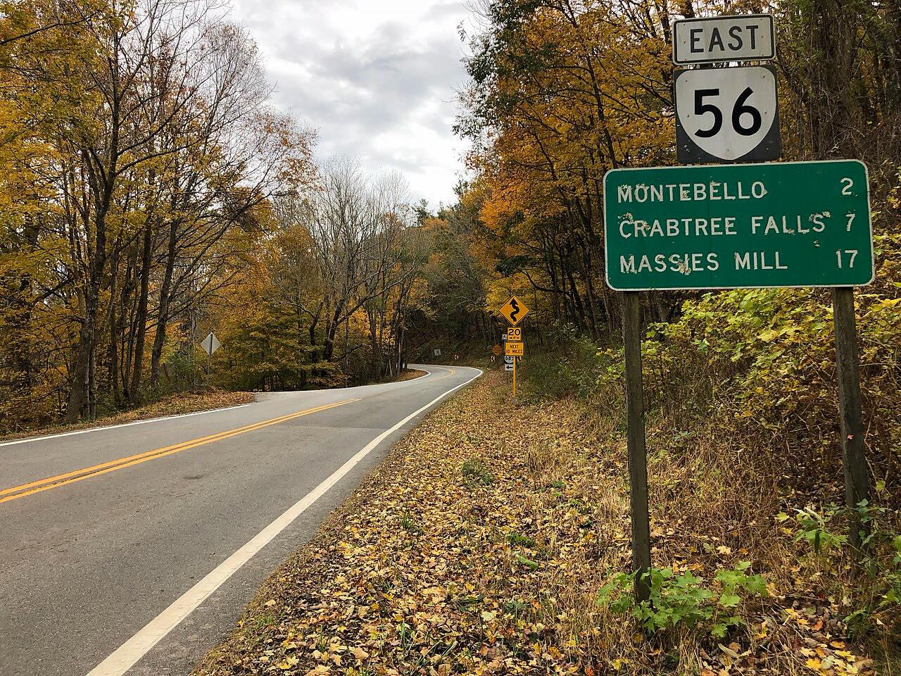 Crabtree Falls Highway: Highway 56Twisty · Crabtree Falls Highway, Tye River Turnpike · 21 mi
 Highway 250: Churchville to BartowSweeping · Hankey Mountain Highway, Highland Turnpike · 59 mi
 Skyline Drive: Swift Run Gap to Rockfish GapTwisty · Skyline Drive · 40 mi
 Goshen Pass: Highway 39Sweeping · Maury River Road, Mountain Valley Road · 30 mi
Distance, time, elevation, curves and intensity are from Carve's route. Checked 2026-10-28.