
Drives Florida Miami, the Everglades, the Keys and Southwest Florida
Tamiami Trail: Big Cypress
US 41, CR 29 · Krome Avenue → Everglades City

The drive
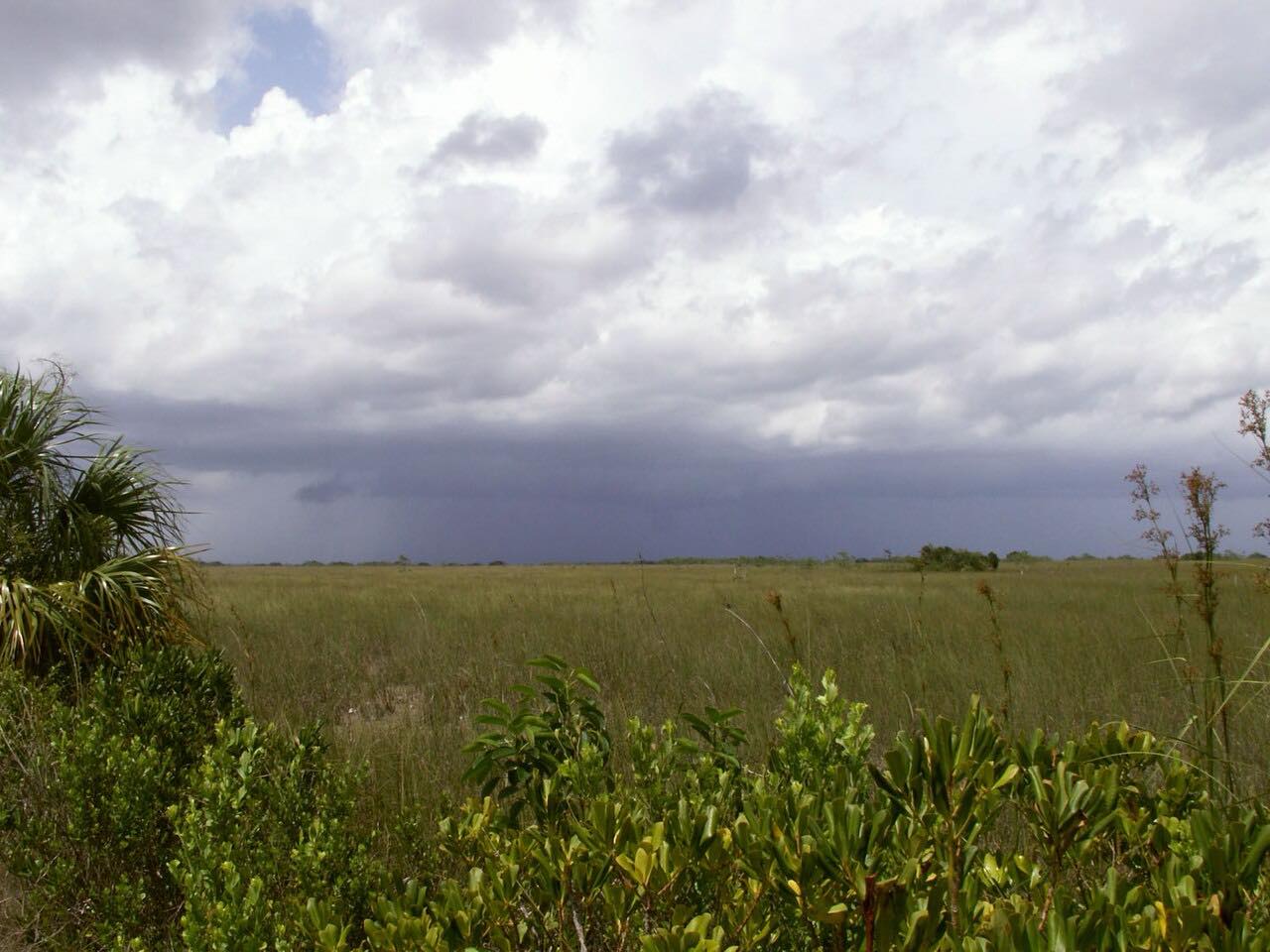
US 41, the Tamiami Trail, runs west from Miami across the Everglades and Big Cypress to Everglades City. It is flat and straight over sawgrass and cypress swamp, with alligators in the canal beside the road.
The drive passes Shark Valley, one of Everglades National Park's three entrances, and the Big Cypress National Preserve, 729,000 acres of hardwood hammocks, pinelands, prairies, cypress swamps and mangroves. The tiny Ochopee post office sits along the road, and the preserve has scenic drives, roadside parks and boardwalks such as the Kirby Storter Boardwalk.
Along the way
- Krome Avenue (west of Miami)
- Shark Valley
- Big Cypress Oasis Visitor Center
- Ochopee Post Office
- Everglades City
Good to know
- Services are few between Shark Valley and Everglades City.
- Wildfire smoke has closed US 41 for hours in the past.
Open all year, weather permitting. Roads close for snow, fire, storms and repairs: before you set off, check Big Cypress National Preserve: Alerts and Conditions.
Questions about this drive
How long does the Tamiami Trail through Big Cypress take?
US 41 from Krome Avenue to Everglades City is 61.3 miles and takes about 1 hr 15 min.
Is the Tamiami Trail twisty?
No. It is flat and straight with mostly gentle curves.
Where can I see alligators on the Tamiami Trail?
Alligators are often seen in the canal beside US 41; Shark Valley is a stop on the drive.
What you get in the app
Free on iPhone and Android. CarPlay and Android Auto come with Apex.
More drives near here



Distance, time, elevation, curves and intensity are from Carve's route. Checked 2026-10-28.