
Drives California The Eastern Sierra
Onion Valley Road
Onion Valley Road · Independence → Onion Valley


The drive
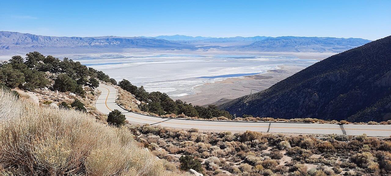
Onion Valley Road is the way up the east face of the Sierra Nevada from Independence on US 395. It starts on Market Street in town and climbs about 13 miles to Onion Valley at roughly 9,200 feet, gaining more than 5,000 feet along the way. That's one of the steepest climbs from the Owens Valley floor.
The road goes through switchbacks and canyon walls, narrow in places and steep. Independence Creek runs in the canyon beside it. Up top the road ends at a basin where the Kearsarge Pass trail begins, climbing to the pass at about 11,700 feet. The drive stops on the road just short of the trailhead lot.
It's the only way in, so you come back down the same road. Plan on about 26 minutes each way.
Along the way
- Independence (US 395)
- Onion Valley
Good to know
- The road is steep and narrow in places, with switchbacks, so use low gear on the descent.
- Snow closes the upper road in winter, roughly from November to April according to a Forest Service trail handout.
- The road is a dead end at the trailhead, so there is no through route.
Can close for snow in winter. Roads close for snow, fire, storms and repairs: before you set off, check Inyo National Forest: alerts and closures.
Questions about this drive
How long does Onion Valley Road take?
Onion Valley Road from Independence is 13.1 miles and takes about 26 minutes one way.
How steep is Onion Valley Road?
It climbs about 5,400 feet in 13 miles, from US 395 at Independence to roughly 9,200 feet at Onion Valley.
Is Onion Valley Road open in winter?
Usually not. Snow closes the upper road in winter, and the Forest Service alerts page shows current status.
What is at the top of Onion Valley Road?
The road ends at the Kearsarge Pass trailhead in Onion Valley, where the trail climbs to the pass at about 11,700 feet.
What you get in the app
Free on iPhone and Android. CarPlay and Android Auto come with Apex.
More drives near here
 Whitney Portal RoadSweeping · Whitney Portal Road · 11.4 mi
 Horseshoe Meadow RoadTwisty · Horseshoe Meadow Road, Horseshoe Meadows Road · 17.4 mi
 Highway 168: Bishop to Lake SabrinaLeisurely · CA 168, Lake Sabrina Road · 18.3 mi
 Kings Canyon Scenic BywayTwisty · Kings Canyon Scenic Byway, CA 180 · 34 mi
Distance, time, elevation, curves and intensity are from Carve's route. Checked 2026-10-28.